Chest opened
+${chestReward.xp} XP
Explorer
NOUVEAU ×${chestReward.collectible.quantity}
tapez pour fermer
Chest locked

Open chests in the app

Around Us is built for your phone — chests unlock when you walk, explore and capture nearby places.

Enable Location

We need your location to show you interesting places around you

Discover nearby places

Find interesting locations and hidden gems around you

Precise directions

Get accurate directions and distances to places

Your location is never shared with other users. It's only used when you tap the location button.

Groom Lake

Log in to your account

Start exploring — it's free

Trusted by 72,980 travelers worldwide

Continue with Google
Continue with Apple
or

We will send you a code to connect

By continuing, you accept our Terms and Conditions and our Privacy Policy

Check your inbox

We've sent a pincode in your inbox. Please enter the code below.

Groom Lake
Discussion Reviews 1 Photos
82.3k Popularity

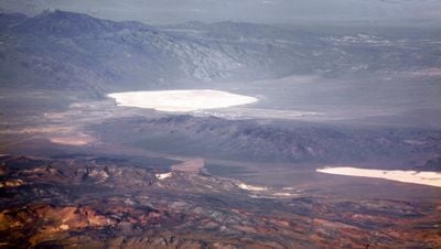
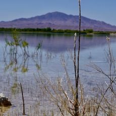
Groom Lake, Salt lake in Lincoln County, Nevada, United States.

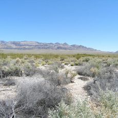
Groom Lake is a dry salt flat in Lincoln County, Nevada, stretching 3.7 miles from north to south and 3 miles from east to west at its widest point. The flat surface forms a natural runway without obstacles or vegetation.

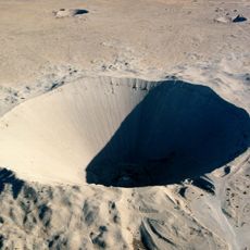
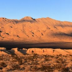
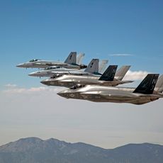
Mining activities near the site began in 1864 after the discovery of lead and silver deposits in the southern Groom Range. The dry lake surface was later used for aviation testing and developed into a major military testing facility.

The facility at the lake appears in many television series, films, and video games exploring theories about classified military research. The area remains a popular subject for stories about aviation technology and government operations.

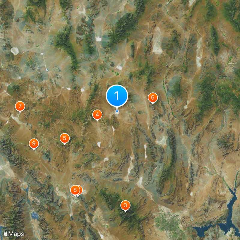
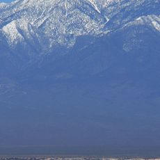
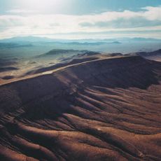
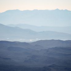
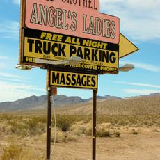
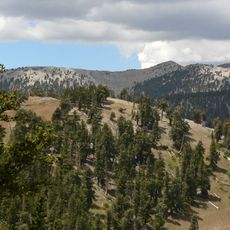
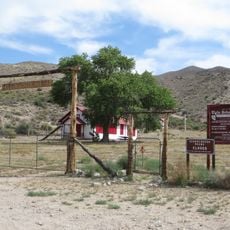
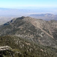
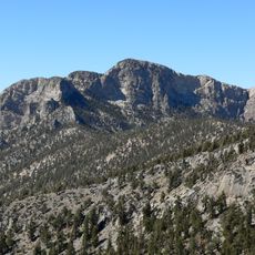
Tikaboo Peak, located 26 miles (42 kilometers) to the east, offers the nearest legal viewing point for photographers and interested visitors. Access to the lake surface itself is restricted and the area is designated as a military exclusion zone.

The lake surface serves as runways for the airport at Nellis Bombing Range Test Site, positioned at an elevation of 4409 feet (1344 meters) above sea level. The white salt crust reflects sunlight so strongly that pilots wear special sunglasses to avoid glare during landing.

The community of curious travelers

AroundUs brings together thousands of curated places, local tips, and hidden gems, enriched daily by 60,000 contributors worldwide.

Start exploring
Location
GPS coordinates
37.26806,-115.80028
Latest update
December 13, 2025 16:26
Around this place
Devils Hole
United States of America

Devils Hole

103.5 km
Charleston Peak
United States of America

Charleston Peak

111.3 km
Sedan Crater
United States of America

Sedan Crater

24 km
Yucca Mountain
United States of America

Yucca Mountain

68.6 km
Tikaboo Peak
United States of America

Tikaboo Peak

40 km
Shady Lady Ranch
United States of America

Shady Lady Ranch

107 km
Ash Meadows National Wildlife Refuge
United States of America

Ash Meadows National Wildlife Refuge

104.3 km
Goldwell Open Air Museum
United States of America

Goldwell Open Air Museum

101 km
Basin and Range National Monument
United States of America

Basin and Range National Monument

86.2 km
Tule Springs Fossil Beds National Monument
United States of America

Tule Springs Fossil Beds National Monument

103.9 km
Angel's Ladies
United States of America

Angel's Ladies

90.7 km
Desert National Wildlife Range
United States of America

Desert National Wildlife Range

64.7 km
Warm Springs Natural Area
United States of America

Warm Springs Natural Area

114.9 km
Fallon Range Training Complex
United States of America

Fallon Range Training Complex

45.5 km
Mount Charleston Wilderness
United States of America

Mount Charleston Wilderness

110.8 km
Mummy Mountain
United States of America

Mummy Mountain

108.7 km
Pahranagat National Wildlife Refuge
United States of America

Pahranagat National Wildlife Refuge

63.9 km
Kershaw–Ryan State Park
United States of America

Kershaw–Ryan State Park

118.6 km
Tule Springs Ranch
United States of America

Tule Springs Ranch

115.7 km
Moapa Valley National Wildlife Refuge
United States of America

Moapa Valley National Wildlife Refuge

114.5 km
Griffith Peak
United States of America

Griffith Peak

116.1 km
Quinn Canyon Wilderness
United States of America

Quinn Canyon Wilderness

98.7 km
United States of America

Las Vegas Indian Colony

110 km
Weepah Spring Wilderness
United States of America

Weepah Spring Wilderness

103.1 km
Elgin Schoolhouse State Historic Site
United States of America

Elgin Schoolhouse State Historic Site

112.3 km
Harris Mountain
United States of America

Harris Mountain

115.5 km
McFarland Peak
United States of America

McFarland Peak

103.4 km
T&T Ranch
United States of America

T&T Ranch

104.1 km
Show the full map
Reviews
Share your experience

No review yet

Discussions
Start a discussion...

No discussion yet

« Groom Lake - Salt lake in Lincoln County, Nevada, United States » is provided by Around Us (aroundus.com). Images and texts are derived from Wikimedia project under a Creative Commons license. You are allowed to copy, distribute, and modify copies of this page, under the conditions set by the license, as long as this note is clearly visible.

Discover hidden gems everywhere you go!

From secret cafés to breathtaking viewpoints, skip the crowded tourist spots and find places that match your style. Our app makes it easy with voice search, smart filtering, route optimization, and insider tips from travelers worldwide. Download now for the complete mobile experience.

Around Us App Screenshot

A unique approach to discovering new places

Le Figaro

All the places worth exploring

France Info

A tailor-made excursion in just a few clicks

20 Minutes

Around Us
Travel Guide & Maps
Download

Send to your phone

QR Code
1

Open the camera app on your mobile.

2

Point at the QR code with your camera. A notification will appear.

3

Tap the notification to open the link.