Chest opened
+${chestReward.xp} XP
Explorer
NOUVEAU ×${chestReward.collectible.quantity}
tapez pour fermer
Chest locked

Open chests in the app

Around Us is built for your phone — chests unlock when you walk, explore and capture nearby places.

Enable Location

We need your location to show you interesting places around you

Discover nearby places

Find interesting locations and hidden gems around you

Precise directions

Get accurate directions and distances to places

Your location is never shared with other users. It's only used when you tap the location button.

Sevier River

Log in to your account

Start exploring — it's free

Trusted by 72,880 travelers worldwide

Continue with Google
Continue with Apple
or

We will send you a code to connect

By continuing, you accept our Terms and Conditions and our Privacy Policy

Check your inbox

We've sent a pincode in your inbox. Please enter the code below.

Sevier River
Discussion Reviews 1 Photos
13.2k Popularity

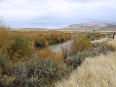
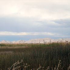
Sevier River, River system in central Utah, United States

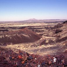
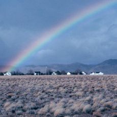
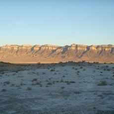
The Sevier River is a river system flowing through central Utah across multiple counties, starting near Bryce Canyon. It travels northward before ending in Sevier Lake, providing water throughout its long course.

Spanish explorers documented the river in 1776 during their search for a route westward, marking it on maps as Rio Buenaventura. This early record shows how important the waterway was to travelers crossing the region.

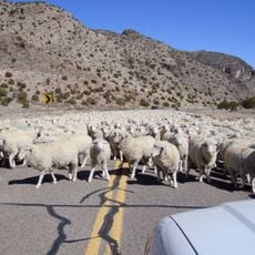
Native American tribes including the Ute, Southern Paiute, and Goshute built communities along the water's edge and depended on it for survival. The river shaped their way of life and remained important to their settlements for generations.

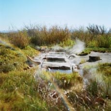
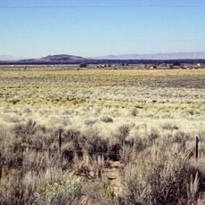
The river is used extensively for irrigation across agricultural lands throughout the region. Water levels change with the seasons and irrigation needs, so the appearance of the river varies depending on when you visit.

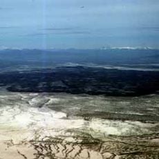
The river is the longest waterway that stays entirely within Utah's borders and does not flow into another state. This makes it one of the few major river systems that remain completely within a single state.

The community of curious travelers

AroundUs brings together thousands of curated places, local tips, and hidden gems, enriched daily by 60,000 contributors worldwide.

Start exploring
Location
Location
Location
Location
Location
Location
Location
GPS coordinates
39.04892,-113.13394
Latest update
December 7, 2025 20:41
Around this place
Notch Peak
United States of America

Notch Peak

26 km
Topaz Mountain
United States of America

Topaz Mountain

73.6 km
Fish Springs National Wildlife Refuge
United States of America

Fish Springs National Wildlife Refuge

92.5 km
Telescope Array Project
United States of America

Telescope Array Project

33.8 km
Fremont Indian State Park and Museum
United States of America

Fremont Indian State Park and Museum

86.9 km
Utah Territorial Statehouse
United States of America

Utah Territorial Statehouse

70.5 km
Black Rock Desert volcanic field
United States of America

Black Rock Desert volcanic field

55.6 km
Desert Biosphere Reserve
United States of America

Desert Biosphere Reserve

77.3 km
Baker Hot Springs
United States of America

Baker Hot Springs

71.8 km
Pahvant Butte
United States of America

Pahvant Butte

51.1 km
Fumarole Butte
United States of America

Fumarole Butte

69.1 km
Fort Deseret
United States of America

Fort Deseret

47.9 km
The Cinders
United States of America

The Cinders

55.3 km
Baker Ranger Station
United States of America

Baker Ranger Station

85.6 km
Swasey Mountain
United States of America

Swasey Mountain

40.9 km
Kings Canyon
United States of America

Kings Canyon

37.1 km
Edward and Elizabeth Partridge House
United States of America

Edward and Elizabeth Partridge House

70.2 km
Thuesen-Petersen House
United States of America

Thuesen-Petersen House

91.5 km
Scipio Town Hall
United States of America

Scipio Town Hall

91.6 km
Peter Quarnberg House
United States of America

Peter Quarnberg House

91.4 km
Kanosh Tithing Office
United States of America

Kanosh Tithing Office

66.4 km
Fillmore American Legion Hall
United States of America

Fillmore American Legion Hall

70.7 km
Peter and Jessie Huntsman House
United States of America

Peter and Jessie Huntsman House

70.3 km
Territorial Statehouse State Park Museum
United States of America

Territorial Statehouse State Park Museum

70.5 km
Ibex Crags
United States of America

Ibex Crags

32.5 km
Topaz Museum
United States of America

Topaz Museum

58.8 km
Millard County Courthouse
United States of America

Millard County Courthouse

70.6 km
Great Basin Museum
United States of America

Great Basin Museum

58.8 km
Show the full map
Reviews
Share your experience

No review yet

Discussions
Start a discussion...

No discussion yet

« Sevier River - River system in central Utah, United States » is provided by Around Us (aroundus.com). Images and texts are derived from Wikimedia project under a Creative Commons license. You are allowed to copy, distribute, and modify copies of this page, under the conditions set by the license, as long as this note is clearly visible.

Discover hidden gems everywhere you go!

From secret cafés to breathtaking viewpoints, skip the crowded tourist spots and find places that match your style. Our app makes it easy with voice search, smart filtering, route optimization, and insider tips from travelers worldwide. Download now for the complete mobile experience.

Around Us App Screenshot

A unique approach to discovering new places

Le Figaro

All the places worth exploring

France Info

A tailor-made excursion in just a few clicks

20 Minutes

Around Us
Travel Guide & Maps
Download

Send to your phone

QR Code
1

Open the camera app on your mobile.

2

Point at the QR code with your camera. A notification will appear.

3

Tap the notification to open the link.