Chest opened
+${chestReward.xp} XP
Explorer
NOUVEAU ×${chestReward.collectible.quantity}
tapez pour fermer
Chest locked

Open chests in the app

Around Us is built for your phone — chests unlock when you walk, explore and capture nearby places.

Enable Location

We need your location to show you interesting places around you

Discover nearby places

Find interesting locations and hidden gems around you

Precise directions

Get accurate directions and distances to places

Your location is never shared with other users. It's only used when you tap the location button.

Log in to your account

Start exploring — it's free

Trusted by 72,991 travelers worldwide

Continue with Google
Continue with Apple
or

We will send you a code to connect

By continuing, you accept our Terms and Conditions and our Privacy Policy

Check your inbox

We've sent a pincode in your inbox. Please enter the code below.

California State Route 89
Discussion Reviews Photo
16.8k Popularity

California State Route 89, highway in California

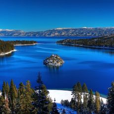
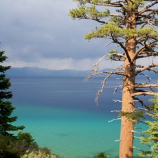
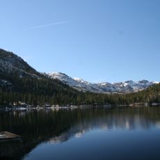
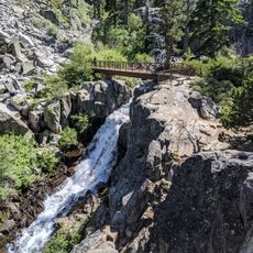
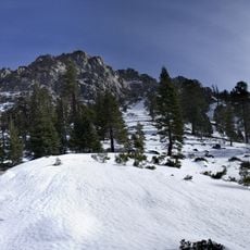
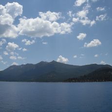
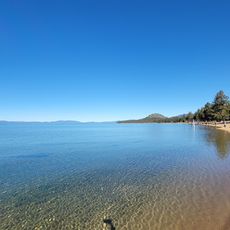
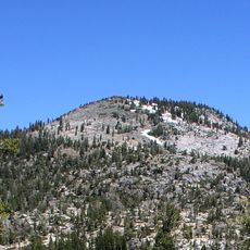
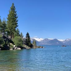
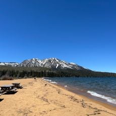
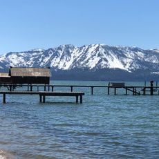
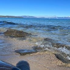
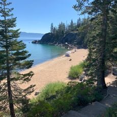
California State Route 89 is a mountain road in northern and central California that winds through ten counties, from Mono County in the south to Siskiyou County in the north. It crosses several high passes, including Monitor Pass and Luther Pass, and skirts the shores of Lake Tahoe before connecting small communities to larger state highways.

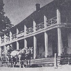
The road was developed in the early 20th century and officially became part of California's highway network in the 1930s. It follows, in part, older trails that settlers and travelers used to cross the Sierra Nevada passes long before paved roads existed.

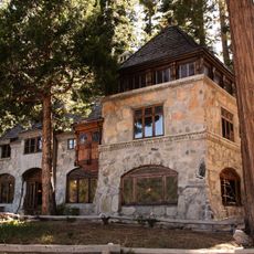
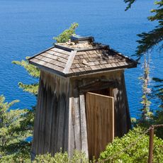
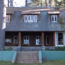
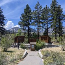
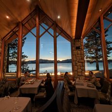
The road passes through small mountain towns where local life moves at a slow pace and outdoor activities shape daily routines. In places like Markleeville or Truckee, visitors can stop at local diners and shops that feel rooted in the surrounding landscape.

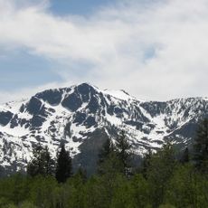
Snow and ice close the high passes for weeks or months during winter, so checking road conditions before setting out is important. In summer and fall, the road is generally open but narrow in places, so drive slowly and be ready to share the lane with oncoming traffic.

A section of Route 89 is officially designated the '10th Mountain Division Memorial Highway', honoring an Army unit that trained in snowy mountains before fighting in the Italian Alps during World War II. The connection between a ski-trained military division and a California mountain road gives this stretch a layer of history that most drivers pass through without realizing.

The community of curious travelers

AroundUs brings together thousands of curated places, local tips, and hidden gems, enriched daily by 60,000 contributors worldwide.

Start exploring
Location
Location
Location
Location
Location
Location
Location
Location
Location
Location
GPS coordinates
38.93458,-120.04293
Latest update
March 3, 2026 08:20
Reviews
Share your experience

No review yet

Discussions
Start a discussion...

No discussion yet

« California State Route 89 - highway in California » is provided by Around Us (aroundus.com). Images and texts are derived from Wikimedia project under a Creative Commons license. You are allowed to copy, distribute, and modify copies of this page, under the conditions set by the license, as long as this note is clearly visible.

Discover hidden gems everywhere you go!

From secret cafés to breathtaking viewpoints, skip the crowded tourist spots and find places that match your style. Our app makes it easy with voice search, smart filtering, route optimization, and insider tips from travelers worldwide. Download now for the complete mobile experience.

Around Us App Screenshot

A unique approach to discovering new places

Le Figaro

All the places worth exploring

France Info

A tailor-made excursion in just a few clicks

20 Minutes

Around Us
Travel Guide & Maps
Download

Send to your phone

QR Code
1

Open the camera app on your mobile.

2

Point at the QR code with your camera. A notification will appear.

3

Tap the notification to open the link.