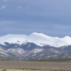
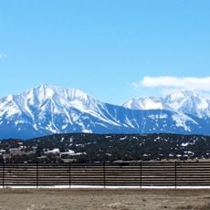
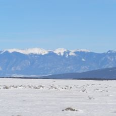
San Luis Valley, High-altitude valley between Colorado and New Mexico, United States
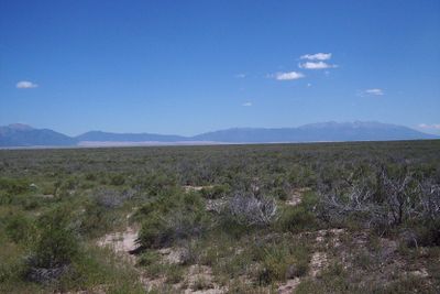
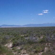
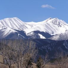
The San Luis Valley stretches between the Sangre de Cristo Mountains to the east and the San Juan Mountains to the west, covering an area of roughly 8,000 square miles (20,000 square kilometers). The valley floor sits at around 7,500 feet (2,300 meters) elevation and forms a wide plain marked by desert vegetation, grasslands, and agricultural fields.
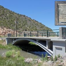
Spanish explorers crossed the valley in the late seventeenth century, long before American fur traders and settlers arrived. After the mid-nineteenth century war between Mexico and the United States, the territory became part of the US and began its agricultural development.
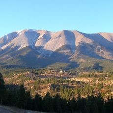
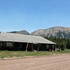
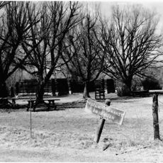
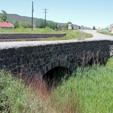
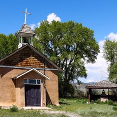
The region is known for Spanish place names and traditional adobe architecture that recall its early colonial roots. Local festivals and religious processions reflect customs dating back to the nineteenth century that are still practiced today.
The valley can be reached via several mountain passes that are often closed in winter, making a visit between spring and autumn advisable. Towns like Alamosa and Monte Vista provide basic services, while remote roads see little traffic and require appropriate preparation.
Underground water collects in several layers beneath the valley floor, forming one of the largest closed aquifers in North America. Some springs emerge along the mountain slopes and feed small wetlands that host rare plant species.
The community of curious travelers
AroundUs brings together thousands of curated places, local tips, and hidden gems, enriched daily by 60,000 contributors worldwide.