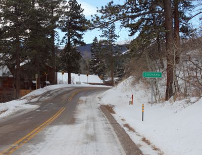
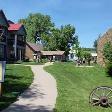
Cuchara, Mountain community in Huerfano County, Colorado, United States.
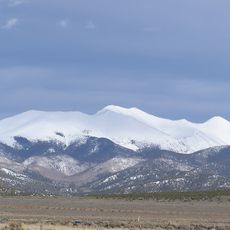
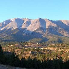
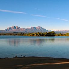
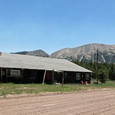
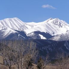
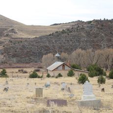
Cuchara is a mountain community in Huerfano County situated on the eastern slopes of the Sangre de Cristo Mountains near Spanish Peaks. The settlement sits at an elevation of about 2581 meters and is surrounded by forests, river valleys, and mountain passes.
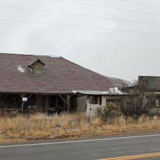
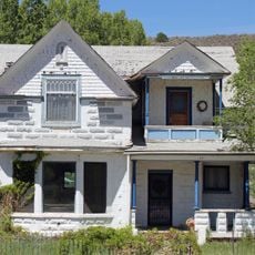
The settlement took shape in the late 1800s as mining and logging operations spread across Colorado's mountain regions. These industries shaped the early growth and character of this mountain community.
The name Cuchara, meaning spoon in Spanish, refers to the curved shape of the valley and the early Spanish settlement in this part of Colorado. Visitors can still feel these Spanish roots in the place names and local way of life.
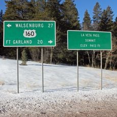
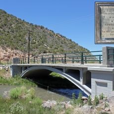
Access comes via State Highway 12, which connects to hiking trails, fishing spots, and lodging options in the surrounding forests. The area is most accessible during warmer months when mountain roads are clear.
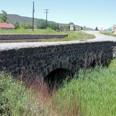
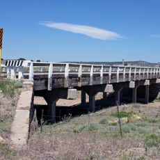
The Cucharas River flows near the settlement, creating a notable landscape feature, while Cucharas Pass to the south reaches almost 10,000 feet elevation. These geographical features have long drawn visitors and travelers to the area.
Location: Huerfano County
Elevation above the sea: 2,581 m
GPS coordinates: 37.37920,-105.10000
Latest update: December 6, 2025 16:04
Colorado contains natural areas and historical sites located away from main roads and common routes. These places tell the story of the state's geology and human history through varied landscapes. Visitors will find sand dunes, waterfalls, rock formations, and remains from the mining era. Locations...
Blanca Peak
40.6 km
Spanish Peaks
11.1 km
Zapata Falls
48.1 km
Spanish Peaks Wilderness
10.7 km
Culebra Peak
29.6 km
West Spanish Peak
9.4 km
North La Veta Pass
27.3 km
Lathrop State Park
34.3 km
Fort Garland
29.8 km
Little Bear Peak
40.8 km
Mount Lindsey
38 km
East Spanish Peak
16 km
Ludlow Tent Colony Site
46 km
Ellingwood Point
41.4 km
Mount Mestas
23 km
Iron Mountain
31.8 km
Montoya Ranch
40.8 km
Red Mountain
30.6 km
Francisco Plaza
16.4 km
A. A. Salazar House
34.9 km
Our Lady of Guadalupe Church and Medina Cemetery
38.5 km
San Luis Bridge
35.8 km
Rito Seco Creek Culvert
35.1 km
San Luis Southern Railway Trestle
39.6 km
Capilla de San Isidro
36.8 km
Bridge over Burro Cañon
42.8 km
Monument Lake Park Building and Hatchery Complex
19.8 km
Maitland Arroyo Bridge
39.6 kmVisited this place? Tap the stars to rate it and share your experience / photos with the community! Try now! You can cancel it anytime.
Discover hidden gems everywhere you go!
From secret cafés to breathtaking viewpoints, skip the crowded tourist spots and find places that match your style. Our app makes it easy with voice search, smart filtering, route optimization, and insider tips from travelers worldwide. Download now for the complete mobile experience.
A unique approach to discovering new places❞
— Le Figaro
All the places worth exploring❞
— France Info
A tailor-made excursion in just a few clicks❞
— 20 Minutes