Blaine County

Log in to your account

AroundUs is a community-driven map of interesting places, built by curious explorers like you. It grows with every review, story, and photo you share.
Connect to save your favorite spots, contribute locations, and create personalized routes.
By continuing, you accept our Terms and Conditions and our Privacy Policy
Add to collection
Map
Suggest a change
Share

Blaine County, Administrative county in Idaho, US.

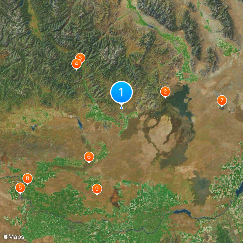
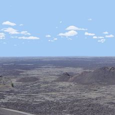
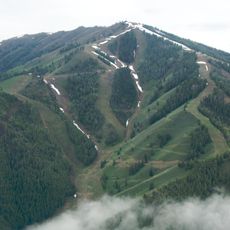
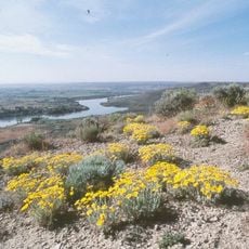
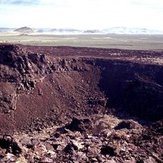
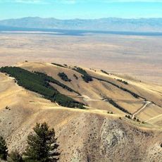
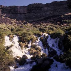
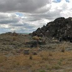
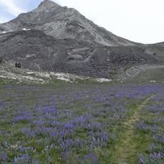
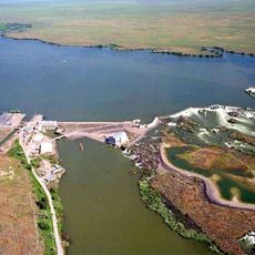
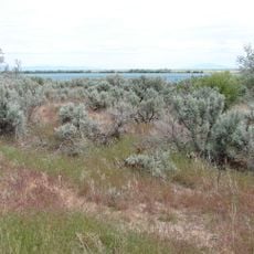
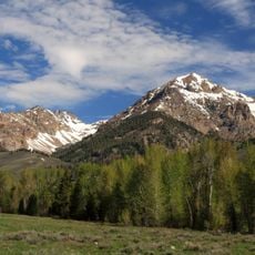
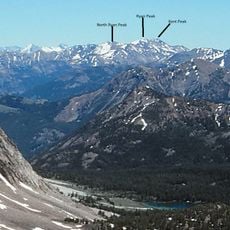
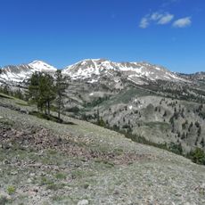
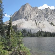
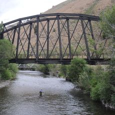
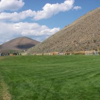
Blaine County is an administrative county in central Idaho with diverse landscapes spanning mountain ranges, river valleys, and elevated terrain. The county encompasses multiple geographic zones shaped by its natural features.

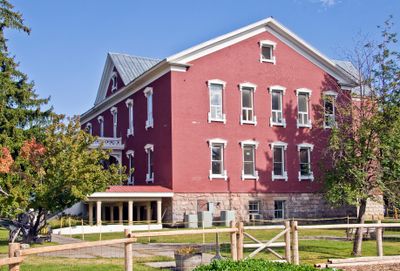
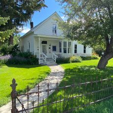
The Idaho State Legislature established the county in 1895, designating Hailey as its administrative center. Since its creation, the area has developed from an early settlement region into an established administrative community.

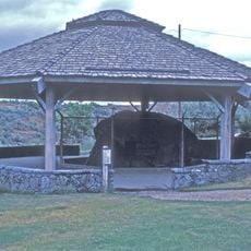
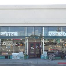
The county serves as a center for local traditions where residents gather in town squares and community spaces to celebrate seasonal events and regional heritage. These gatherings reflect the values and lifestyle that define the area's identity.

Visitors can access local services and administrative facilities in main towns like Hailey, which are well-connected. The county is accessible year-round, with each season offering different outdoor opportunities.

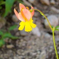
The area supports wildlife populations and runs specialized conservation programs that balance natural habitats with human activity. These protection efforts represent a careful approach to managing the region's natural resources.

Location: Idaho

Inception: March 5, 1895

Capital city: Hailey

Shares border with: Custer County, Camas County, Lincoln County, Minidoka County, Power County, Cassia County, Bingham County, Butte County, Elmore County

Website: http://co.blaine.id.us

GPS coordinates: 43.39000,-113.98000

Latest update: December 12, 2025 17:58

Photos
Around this place
Craters of the Moon National Monument and Preserve
United States of America

Craters of the Moon National Monument and Preserve

34.6 km
Ernest and Mary Hemingway House
United States of America

Ernest and Mary Hemingway House

46.5 km
Bald Mountain
United States of America

Bald Mountain

45.5 km
Hagerman Fossil Beds National Monument
United States of America

Hagerman Fossil Beds National Monument

102.9 km
Black Butte Crater Lava Field
United States of America

Black Butte Crater Lava Field

49.4 km
Big Southern Butte
United States of America

Big Southern Butte

77.3 km
Thousand Springs State Park
United States of America

Thousand Springs State Park

93.9 km
Wilson Butte Cave
United States of America

Wilson Butte Cave

70 km
Register Rock
United States of America

Register Rock

113.5 km
Priestly's Hydraulic Ram
United States of America

Priestly's Hydraulic Ram

100.4 km
Hyndman Peak
United States of America

Hyndman Peak

41.8 km
Magic Reservoir
United States of America

Magic Reservoir

34.4 km
Archie Teater Studio
United States of America

Archie Teater Studio

94.9 km
Lake Walcott State Park
United States of America

Lake Walcott State Park

89.5 km
Lake Walcott
United States of America

Lake Walcott

94.8 km
Craters of the Moon National Wilderness
United States of America

Craters of the Moon National Wilderness

38.8 km
Minidoka National Wildlife Refuge
United States of America

Minidoka National Wildlife Refuge

93.5 km
Hemingway–Boulders Wilderness
United States of America

Hemingway–Boulders Wilderness

70.6 km
Mackay Reservoir
United States of America

Mackay Reservoir

67.4 km
Homer Pound House
United States of America

Homer Pound House

30.3 km
Ryan Peak
United States of America

Ryan Peak

66.7 km
J. C. Penney Company Building
United States of America

J. C. Penney Company Building

61.3 km
Sawtooth Botanical Garden
United States of America

Sawtooth Botanical Garden

40 km
Smoky Dome
United States of America

Smoky Dome

78.2 km
El Capitan
United States of America

El Capitan

98.3 km
Mormon Reservoir
United States of America

Mormon Reservoir

67.5 km
Gimlet Pegram Truss Railroad Bridge
United States of America

Gimlet Pegram Truss Railroad Bridge

37.6 km
Lower Salmon Falls Dam
United States of America

Lower Salmon Falls Dam

97 km
Show the full map
Reviews

Visited this place? Tap the stars to rate it and share your experience / photos with the community! Try now! You can cancel it anytime.

Administrative divisions
« Blaine County - Administrative county in Idaho, US » is provided by Around Us (aroundus.com). Images and texts are derived from Wikimedia project under a Creative Commons license. You are allowed to copy, distribute, and modify copies of this page, under the conditions set by the license, as long as this note is clearly visible.

Discover hidden gems everywhere you go!

From secret cafés to breathtaking viewpoints, skip the crowded tourist spots and find places that match your style. Our app makes it easy with voice search, smart filtering, route optimization, and insider tips from travelers worldwide. Download now for the complete mobile experience.

Around Us App Screenshot

A unique approach to discovering new places

Le Figaro

All the places worth exploring

France Info

A tailor-made excursion in just a few clicks

20 Minutes