Enable Location

We need your location to show you interesting places around you

Discover nearby places

Find interesting locations and hidden gems around you

Precise directions

Get accurate directions and distances to places

Your location is never shared with other users. It's only used when you tap the location button.

Sha Tin District

Log in to your account

Start exploring — it's free

Trusted by 61,776 travelers worldwide

Continue with Google
Continue with Apple
or

We will send you a code to connect

By continuing, you accept our Terms and Conditions and our Privacy Policy

Check your inbox

We've sent a pincode in your inbox. Please enter the code below.

Sha Tin District, Administrative district in the New Territories, Hong Kong.

Description

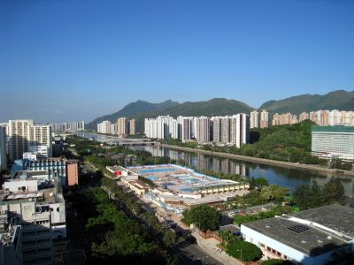
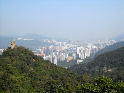
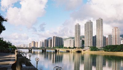
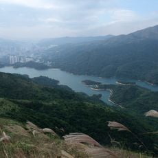
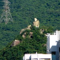
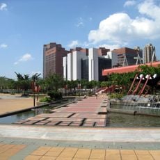
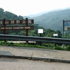
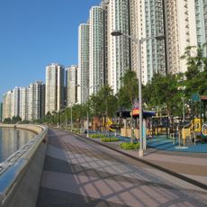
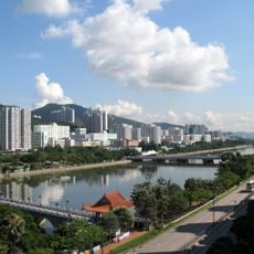
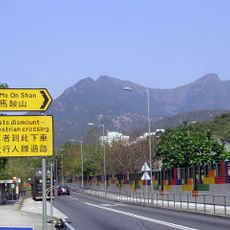
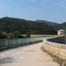
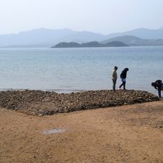
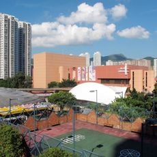
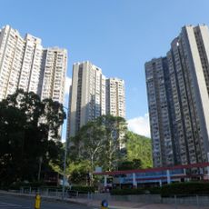
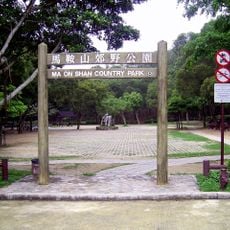
Sha Tin District is an administrative zone in the New Territories spanning 69.4 square kilometers along the Shing Mun River. The area combines residential neighborhoods, industrial zones, and natural landscapes with mountain ranges into one diverse region.

History

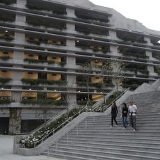
The area was once known as Lek Yuen and started as farmland before becoming Hong Kong's first new town project in 1973. This transformation shaped how the New Territories developed and grew over the following decades.

Culture

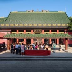
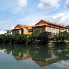
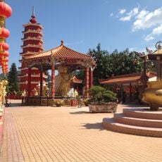
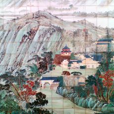
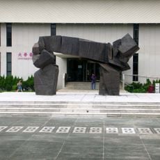
The Ten Thousand Buddhas Monastery displays thousands of gilded statues arranged throughout its courtyards and corridors, showing how Buddhism has been practiced in this area. The Hong Kong Heritage Museum tells stories of local traditions and daily life across generations through its collections and exhibitions.

Practical

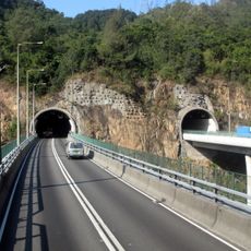
The district connects to central Hong Kong through fourteen MTR stations across two lines, plus numerous bus routes and major road networks. Public transportation makes it straightforward to travel between different neighborhoods and reach other districts.

Did you know?

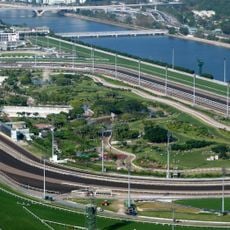
The Sha Tin Racecourse is a horse racing venue with capacity for about 85,000 people and contains Penfold Park within its center. This green space surrounded by the track offers visitors an unexpected quiet spot in the middle of racing activity.

Location
Shares border with
Wong Tai Sin District, Kowloon City District, Sham Shui Po District, Kwai Tsing District, Tsuen Wan District, Tai Po District, Sai Kung District
GPS coordinates
22.38710,114.19500
Latest update
December 14, 2025 19:30

AroundUs brings together thousands of curated places, local tips, and hidden gems, enriched daily by 60,000 contributors worldwide. Discover all places nearby (Hong Kong).

« Sha Tin District - Administrative district in the New Territories, Hong Kong » is provided by Around Us (aroundus.com). Images and texts are derived from Wikimedia project under a Creative Commons license. You are allowed to copy, distribute, and modify copies of this page, under the conditions set by the license, as long as this note is clearly visible.

Discover hidden gems everywhere you go!

From secret cafés to breathtaking viewpoints, skip the crowded tourist spots and find places that match your style. Our app makes it easy with voice search, smart filtering, route optimization, and insider tips from travelers worldwide. Download now for the complete mobile experience.

Around Us App Screenshot

A unique approach to discovering new places

Le Figaro

All the places worth exploring

France Info

A tailor-made excursion in just a few clicks

20 Minutes

Around Us
Travel Guide & Maps
Download

Send to your phone

QR Code
1

Open the camera app on your mobile.

2

Point at the QR code with your camera. A notification will appear.

3

Tap the notification to open the link.