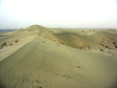
Taklamakan, Desert in Xinjiang Region, China.
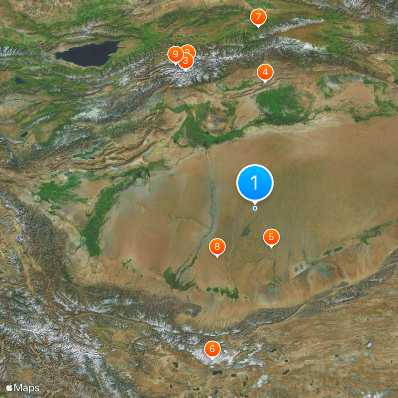
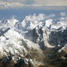
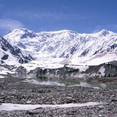
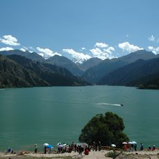
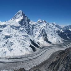
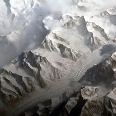
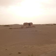
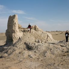
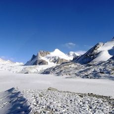
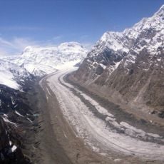
Taklamakan is a desert in the Xinjiang autonomous region of northwestern China, framed by the Kunlun Mountains to the south, the Tian Shan to the north and the Pamir to the west. Sand formations and scattered oases define the wide terrain, which extends over several hundred kilometers and belongs to the driest areas of Central Asia.
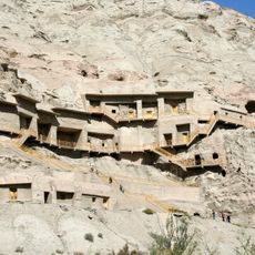
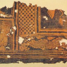
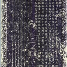
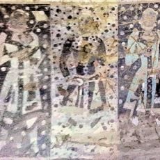
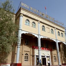
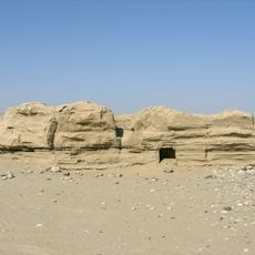
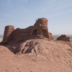
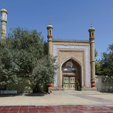
Silk Road caravans avoided the center and moved along oasis cities such as Kashgar, Yarkand, Miran and Khotan at the desert's edge. These settlements served as supply points for traders traveling between East and West.
The name means roughly
Ring roads and a railway line connect settlements at the desert's edge and enable crossing without entering the sand area directly. Anyone wishing to enter the desert itself should expect extreme dryness and learn about water sources and navigation beforehand.
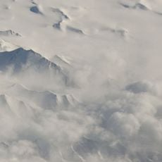
In 2008 a snow cover of almost 4 centimeters (1.5 inches) fell over the entire area for the first time, something never documented before in this dry region. This unusual precipitation surprised locals and researchers alike.
GPS coordinates: 38.90000,82.20000
Latest update: December 12, 2025 16:55
The world's largest desert expanses range from the poles to subtropical areas. From Antarctica with its 14 million square kilometers to the Mojave plains, these regions are characterized by extreme conditions and low rainfall. Polar deserts dominate in area, followed by hot deserts like the Sahara...
Khan Tengri
406.4 km
Jengish Chokusu
390.5 km
Kizil Caves
322.1 km
Niya
108.7 kmLiushi Shan
415 km
Xinjiang Tianshan
456.5 km
Dandan Oilik
159.3 km
Engil'chek Glacier
416.9 km
Subashi
336.7 km
Gedenktafel an die Bezwingung des Khanats der Dsungaren
473.3 km
Kizilgaha caves
327.3 km
Hotan Cultural Museum
282.9 km
Xuelian Feng
390.3 km
Rawak Stupa
248.4 km
Kumtura Thousand Buddha Caves
315.6 km
Endere
201.3 km
Xiaohaizi Shuiku
310 km
Melikawat
295.3 km
Mazar Tagh
126.5 km
Altyn Mosque
433.2 km
Lednik Semjonova
425.4 km
Lednik Petrova
472.2 km
Pik Nansena
421.9 km
Sarychat glacier
473 km
Lednik Kaindy
414 km
Peshchera Akchunkur
453.1 km
Lednik Komsomolets
406 km
Pik Voennizh Topografov
387.8 kmVisited this place? Tap the stars to rate it and share your experience / photos with the community! Try now! You can cancel it anytime.
Discover hidden gems everywhere you go!
From secret cafés to breathtaking viewpoints, skip the crowded tourist spots and find places that match your style. Our app makes it easy with voice search, smart filtering, route optimization, and insider tips from travelers worldwide. Download now for the complete mobile experience.
A unique approach to discovering new places❞
— Le Figaro
All the places worth exploring❞
— France Info
A tailor-made excursion in just a few clicks❞
— 20 Minutes