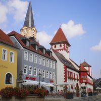
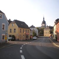
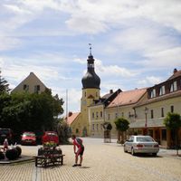
Wunsiedel, Administrative district in Upper Franconia, Bavaria, Germany
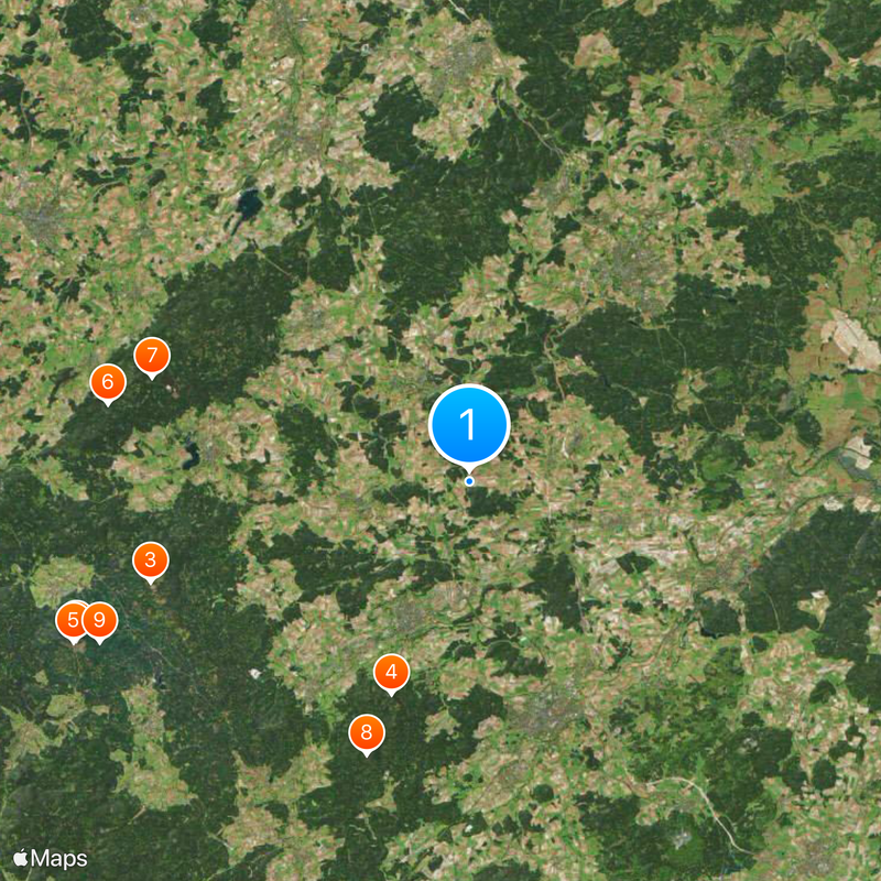
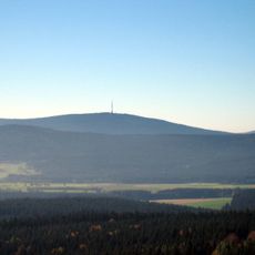
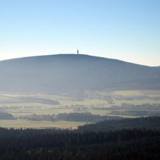
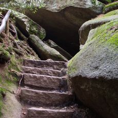
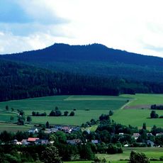
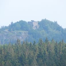
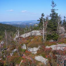
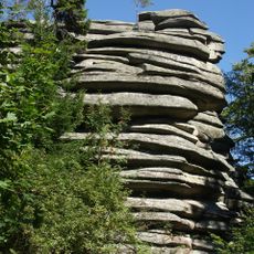
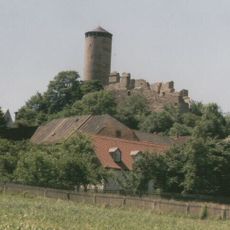
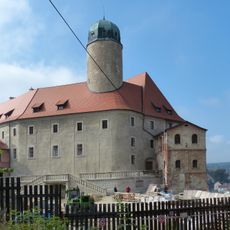
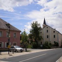
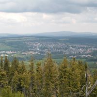
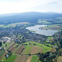
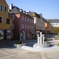
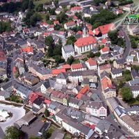
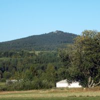
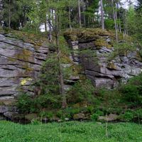
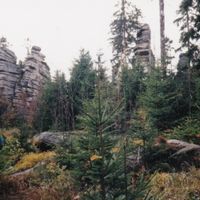
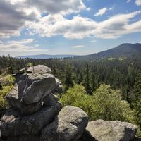
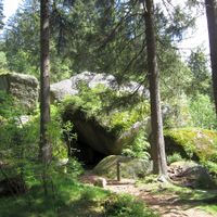
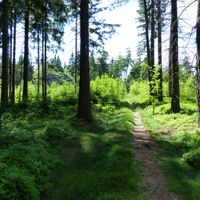
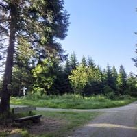
Wunsiedel is an administrative district in Upper Franconia, Bavaria, spanning the Fichtel Mountains region with seventeen municipalities and extensive forest cover. The landscape sits at varying elevations within a mountainous terrain characterized by forested areas and rolling hills.
The district was established on July 1, 1862, and underwent major expansion during the 1972 Bavarian administrative reforms. The incorporation of Marktredwitz and Selb into the district during this period shaped its current boundaries and structure.
The coat of arms displays an eagle for Marktredwitz and a deer antler for Selb, symbols you notice on local buildings and official signs. These emblems shape how residents think about their towns and their place within the wider district.
The area uses multiple vehicle registration codes depending on the specific municipality: WUN, MAK, REH, and SEL. Time follows Central European standard, with UTC+01:00 in winter and UTC+02:00 during summer months.
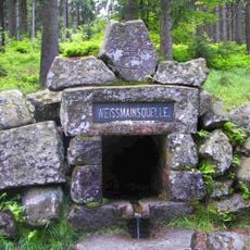
The Ohře River originates within the district and flows through several municipalities before continuing beyond its borders. This waterway connects different parts of the region and shapes the natural geography visitors see.
Location: Upper Franconia
Inception: July 1, 1862
Capital city: Wunsiedel
Elevation above the sea: 558 m
Shares border with: Tirschenreuth, Bayreuth, Hof, Cheb District
Website: http://landkreis-wunsiedel.de
GPS coordinates: 50.09000,12.04000
Latest update: December 7, 2025 09:25
Ochsenkopf
17.7 km
Schneeberg
14 km
Landschaftsgarten
9.4 km
Ochsenkopf Transmitter
17.8 km
Saalequelle
15.4 km
Großer Waldstein
13.9 km
Kösseine
12.2 km
Großer Kornberg
10.4 km
Förmitztalsperre
15.1 km
Porzellanikon
10.9 km
Baudenkmal
14.3 km
Epprechtstein
10.8 km
Netzsch-Arena
10 km
Nußhardt
13.7 km
Erika-Fuchs-Haus
16.5 km
Rudolfstein
11.8 km
Holy Trinity Church in Aš
18.3 km
Burgruine
4.9 km
Burg Hohenberg an der Eger
13.2 km
Kloster Fockenfeld
17.4 km
Epprechtstein Castle
10.8 km
Libá Chateau
14.4 km
Waldsteinburg
13.9 km
Haberstein
10.7 km
Seilbahn Ochsenkopf-Nord
16.9 km
Schloss
15 km
Michaeliskirche
9.4 km
Church of Saint Catherine
14.4 kmVisited this place? Tap the stars to rate it and share your experience / photos with the community! Try now! You can cancel it anytime.
Thierstein
Thiersheim
Schirnding
Wunsiedel
Weißenstadt
Selb
Schönwald
Marktredwitz
Marktleuthen
Kirchenlamitz
Hohenberg an der Eger
Arzberg
Höchstädt im Fichtelgebirge
Tröstau
Röslau
Nagel
Bad Alexandersbad
Kaiserhammer Forst-Ost
Martinlamitzer Forst-Süd
Meierhöfer Seite
Neubauer Forst-Süd
Tröstauer Forst-Ost
Tröstauer Forst-West
Vordorfer Forst
Weißenstadter Forst-Nord
Weißenstadter Forst-Süd
Discover hidden gems everywhere you go!
From secret cafés to breathtaking viewpoints, skip the crowded tourist spots and find places that match your style. Our app makes it easy with voice search, smart filtering, route optimization, and insider tips from travelers worldwide. Download now for the complete mobile experience.
A unique approach to discovering new places❞
— Le Figaro
All the places worth exploring❞
— France Info
A tailor-made excursion in just a few clicks❞
— 20 Minutes