Franconian Jura, Low mountain range in Bavaria, Germany.
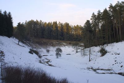
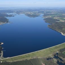
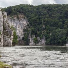
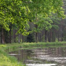
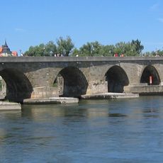
The Franconian Jura stretches between the Danube and Main rivers as a limestone landscape with elevations reaching around 546 meters. River valleys cut through the terrain, creating varied scenery with forests, meadows, and rocky slopes that define the region's appearance.
The region formed millions of years ago when shallow seas covered the area and left sedimentary deposits that hardened into limestone. Rivers later carved the terrain, creating valleys and caves that people have used for shelter since prehistoric times.
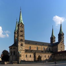
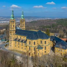
Local communities throughout the region maintain strong ties to traditional crafts and regional cooking that reflect Bavarian heritage. These practices shape how villages function and how visitors are welcomed into public spaces.
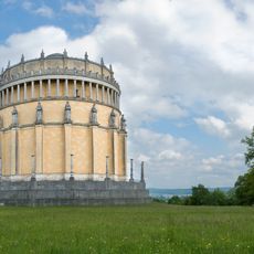
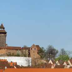
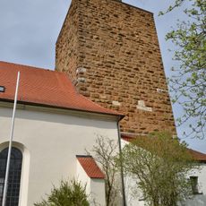
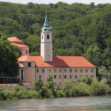
The region has a dense network of marked hiking paths connecting small towns, medieval castles, and river routes throughout the limestone terrain. Sturdy footwear is recommended since many trails cross uneven ground and rocky sections.
Over 1000 caves are scattered throughout the region, with some preserving skeletal remains and stone tools from the Paleolithic era. These archaeological finds reveal how early humans lived in and used this landscape.
The community of curious travelers
AroundUs brings together thousands of curated places, local tips, and hidden gems, enriched daily by 60,000 contributors worldwide.