Agulla de Lliterola, Mountain peak in Benasque and Haute-Garonne, Spain and France.
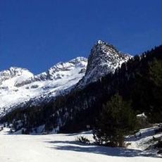
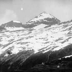
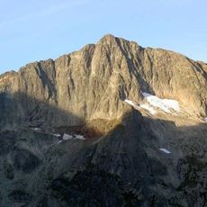
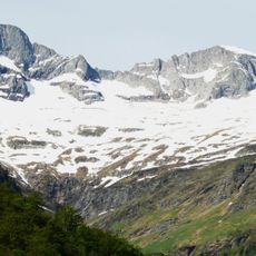
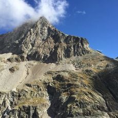
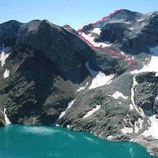
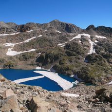
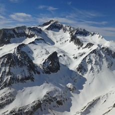
Agulla de Lliterola is a summit in the central Pyrenees reaching 3,028 meters (9,934 ft) above sea level. It forms part of the Perdiguero massif and sits on the border between the two countries.
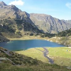
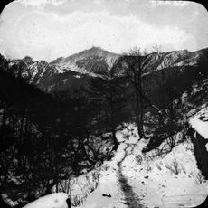
Early mountaineers documented this peak during the mapping expeditions of the Pyrenees in the 20th century. These climbing expeditions helped establish routes and knowledge about the range.
The summit sits where Spain and France meet, marking the natural boundary between these two nations. Both countries have their own mountain heritage visible in how climbers and visitors approach this place.
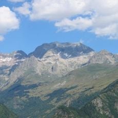
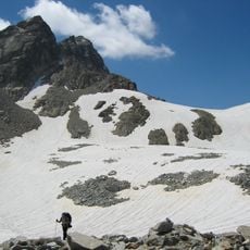
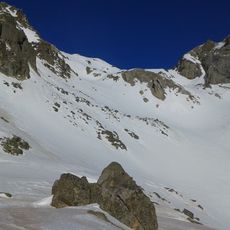
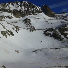
Climbing here requires technical equipment and advanced mountaineering skills for safe passage. The best season is from July to September when weather and snow conditions favor ascents.
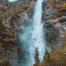
From the summit you can see across both the Spanish and French sides of the range. The peak rises about 83 meters above the surrounding terrain, making it a notable point even if less famous than nearby peaks.
The community of curious travelers
AroundUs brings together thousands of curated places, local tips, and hidden gems, enriched daily by 60,000 contributors worldwide.