Agulla Inferior de Lézat, Mountain summit in Haute-Garonne, France
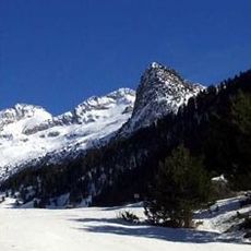
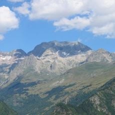
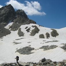
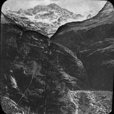
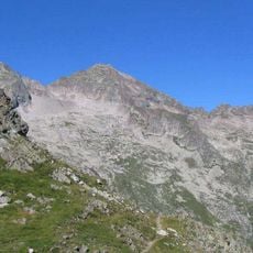
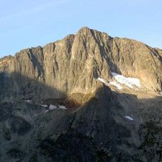
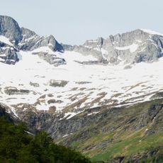
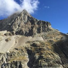
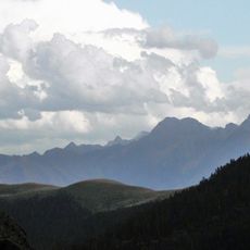
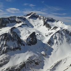
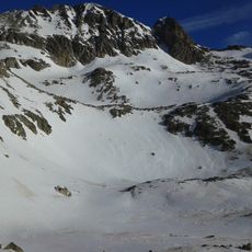
Agulla Inferior de Lézat is a mountain peak in the Pyrenees standing at 3023 meters high. It sits within the Perdiguero massif in the French Alps, positioned just northwest of its taller neighboring summit.
The summit has served as a reference point for mapmakers documenting the French-Spanish border regions over centuries. It became part of the geographical record that helped define the mountain boundaries between the two nations.
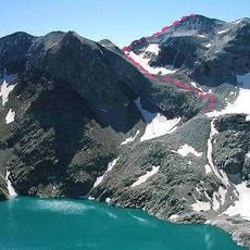
Local mountaineering groups maintain detailed records of climbing routes and seasonal conditions, contributing to the documentation of Pyrenean mountain climbing traditions.
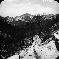
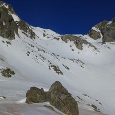
Climbers reach the summit via established trails that require proper alpine gear and solid high-altitude mountain experience. Weather at this elevation changes quickly, so thorough preparation is important before attempting the ascent.
The peak rises just 10 meters above the surrounding terrain, making it a relatively modest elevation. Despite its small prominence compared to neighboring peaks, it stands as a distinct geological point in the massif.
The community of curious travelers
AroundUs brings together thousands of curated places, local tips, and hidden gems, enriched daily by 60,000 contributors worldwide.