Pic de la Serre Galinière, Mountain summit in Pyrénées-Orientales, France
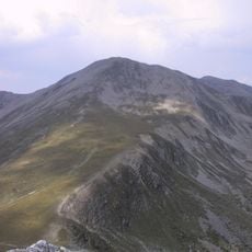
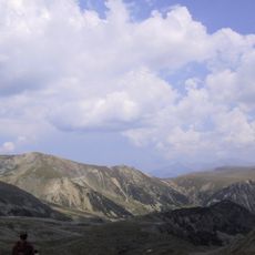
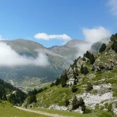
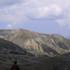
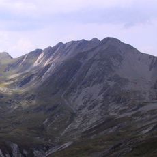
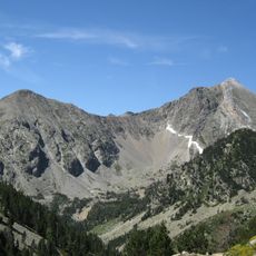
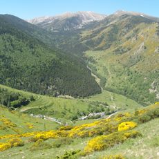
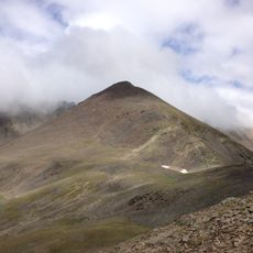
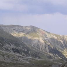
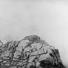
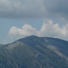
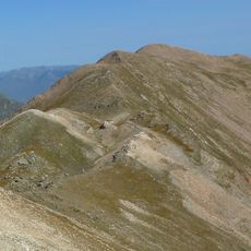
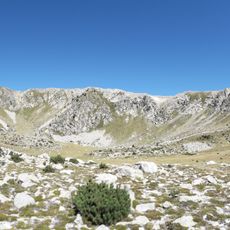
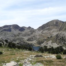
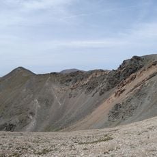
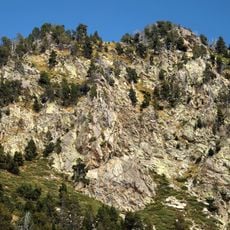
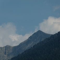
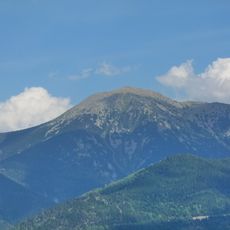
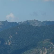
Pic de la Serre Galinière is a mountain summit in the Pyrenees standing at 2663 meters with steep slopes on its sides. The peak offers sweeping views across multiple valleys and the surrounding mountain landscape.
Stone shelters called Baraques des Allemands dot the mountain, revealing its past use by shepherds moving livestock seasonally. These structures mark a long tradition of pastoral activity in this high mountain region.
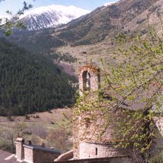
The summit stands near the village of Mantet, where local communities maintain traditional pastoral practices and mountain agriculture throughout the changing seasons.
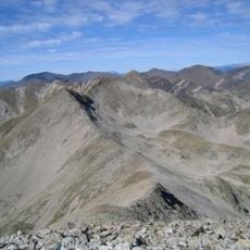
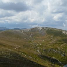
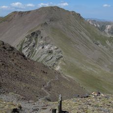
The hike takes about 9 hours for the 20-kilometer round trip starting from the Mantet parking area. The route follows the GR 10 trail to the summit and requires experience with steep mountain terrain.
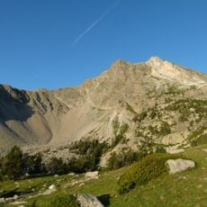
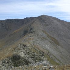
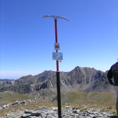
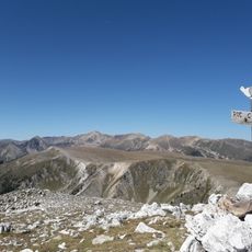
A notable border stone numbered 511 sits on the ridge marking an important geographical location along the mountain crest. This marker serves hikers as an orientation point between Pic de la Dona and the final approach to the summit.
The community of curious travelers
AroundUs brings together thousands of curated places, local tips, and hidden gems, enriched daily by 60,000 contributors worldwide.