Jharkhand, State in East India
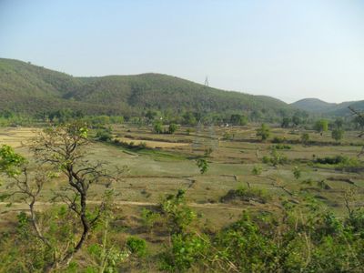
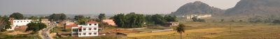
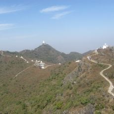
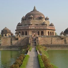
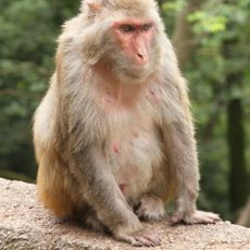
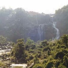
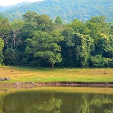
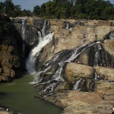
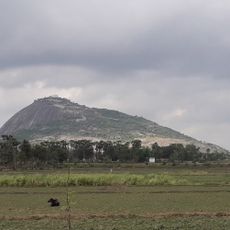
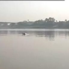
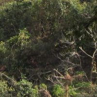
Jharkhand is a state in eastern India, characterized by dense forests and important mineral deposits such as coal, iron ore, and copper, distributed across five administrative divisions. The territory shows a varied landscape with hills, valleys, and wide mining areas that shape much of the economy and influence the infrastructure.
The territory became a separate state on November 15, 2000, when it broke away from Bihar and formed the 28th state of India. The formation followed decades of demands for political autonomy, raised primarily by the communities living there.
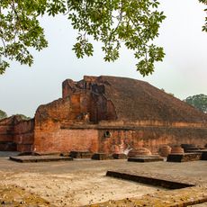
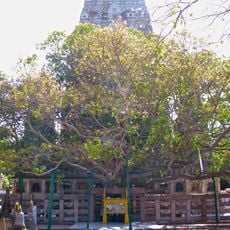
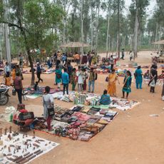
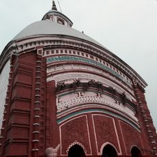
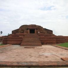
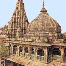
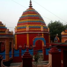
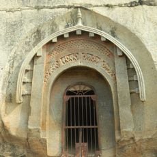
Communities from 32 tribal groups live here, speaking their own languages and celebrating festivals with dance and music, often outdoors or in village spaces. Travelers encounter these traditions at markets, during religious gatherings, and in rural settlements where craft skills and oral storytelling remain part of everyday life.
The state maintains major railway junctions in Ranchi, Bokaro, and Dhanbad, offering connections to metropolitan areas in northern and eastern India. Intercity buses run between towns and villages, though roads in remote zones can be uneven and require longer travel times.
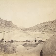
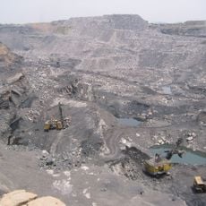
The mines in this territory supply roughly 40 percent of India's mineral resources, including uranium used in the national nuclear power program. Visitors sometimes see huge extraction installations and waste heaps that have shaped the landscape for decades and provide work for many people.
The community of curious travelers
AroundUs brings together thousands of curated places, local tips, and hidden gems, enriched daily by 60,000 contributors worldwide.