Enable Location

We need your location to show you interesting places around you

Discover nearby places

Find interesting locations and hidden gems around you

Precise directions

Get accurate directions and distances to places

Your location is never shared with other users. It's only used when you tap the location button.

Warangal district

Log in to your account

Start exploring — it's free

Trusted by 61,567 travelers worldwide

Continue with Google
Continue with Apple
or

We will send you a code to connect

By continuing, you accept our Terms and Conditions and our Privacy Policy

Check your inbox

We've sent a pincode in your inbox. Please enter the code below.

Warangal district

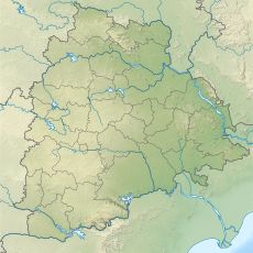
Warangal district, Administrative district in Telangana, India

Description

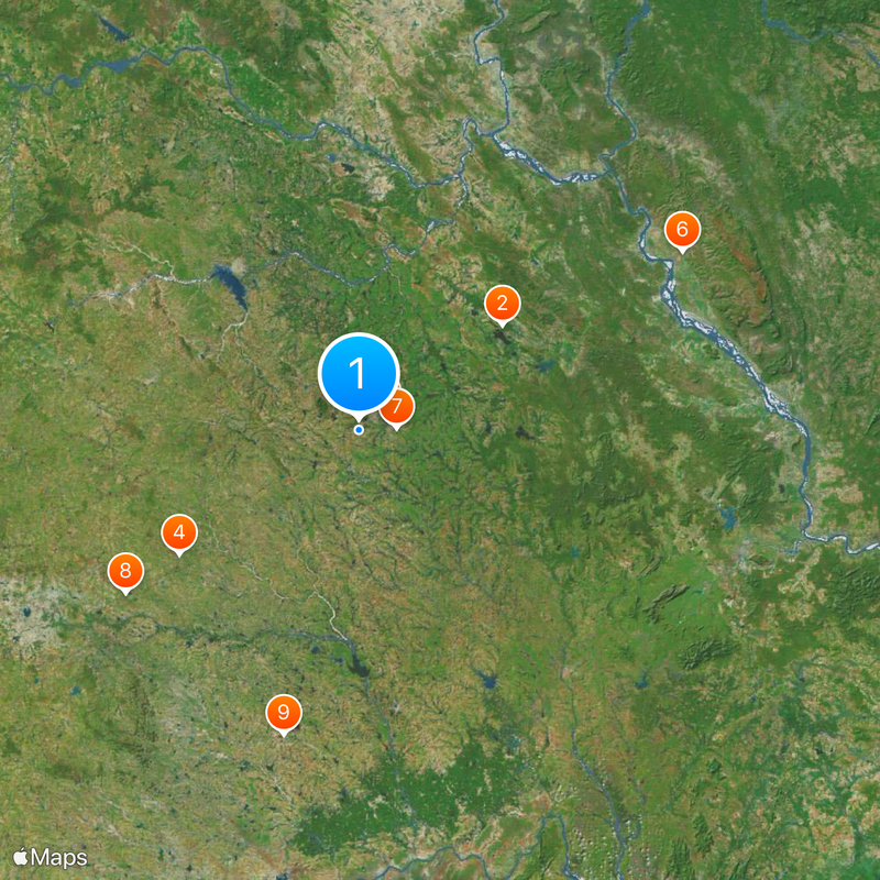
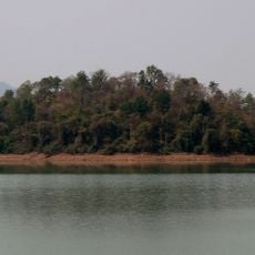
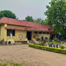
Warangal district is an administrative region in Telangana comprising numerous villages and settlements spread across varied terrain. The landscape features agricultural fields, forested areas, and several streams that shape the local geography.

History

The district was established in 1867 as part of Hyderabad State and underwent administrative separation in 1956. It subsequently became part of Andhra Pradesh until it was incorporated into the newly formed Telangana state in 2014.

Culture

The Bathukamma flower festival brings women together to create elaborate floral arrangements that celebrate local customs passed through generations. This celebration connects community members through shared creative traditions.

Practical

The region is well connected to major cities through highways and rail networks, with regular bus services operating between administrative divisions. Travelers can move between villages and settlements fairly easily using public transportation.

Did you know?

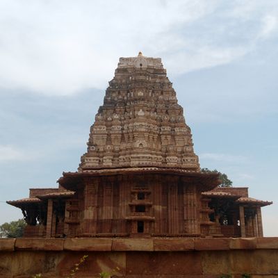
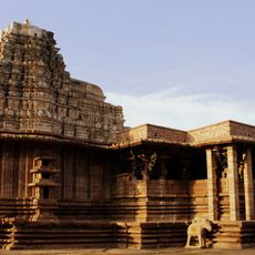
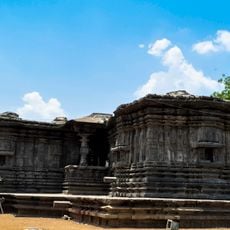
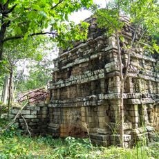
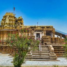
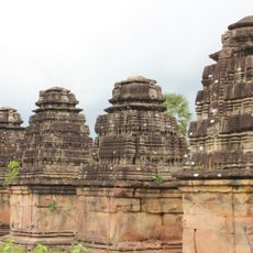
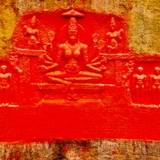
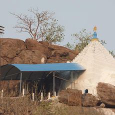
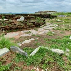
The region contains prehistoric rock paintings at Pandavula Gutta and ancient stone structures documenting human occupation from the Paleolithic era. These archaeological findings reveal that the area has been inhabited for thousands of years.

Location
Inception
1867
Elevation above the sea
92 m
Shares border with
Medak district
GPS coordinates
17.95000,79.50000
Latest update
December 20, 2025 15:47

AroundUs brings together thousands of curated places, local tips, and hidden gems, enriched daily by 60,000 contributors worldwide. Discover all places nearby (Telangana).

« Warangal district - Administrative district in Telangana, India » is provided by Around Us (aroundus.com). Images and texts are derived from Wikimedia project under a Creative Commons license. You are allowed to copy, distribute, and modify copies of this page, under the conditions set by the license, as long as this note is clearly visible.

Discover hidden gems everywhere you go!

From secret cafés to breathtaking viewpoints, skip the crowded tourist spots and find places that match your style. Our app makes it easy with voice search, smart filtering, route optimization, and insider tips from travelers worldwide. Download now for the complete mobile experience.

Around Us App Screenshot

A unique approach to discovering new places

Le Figaro

All the places worth exploring

France Info

A tailor-made excursion in just a few clicks

20 Minutes

Around Us
Travel Guide & Maps
Download

Send to your phone

QR Code
1

Open the camera app on your mobile.

2

Point at the QR code with your camera. A notification will appear.

3

Tap the notification to open the link.