Log in to your account

AroundUs is a community-driven map of interesting places, built by curious explorers like you. It grows with every review, story, and photo you share.
Connect to save your favorite spots, contribute locations, and create personalized routes.
Continue with Google
Continue with Apple
Continue with X
Continue with Facebook
Continue with email
By continuing, you accept our Terms and Conditions and our Privacy Policy
Create an account
Add to collection
Map
Suggest a change
Share

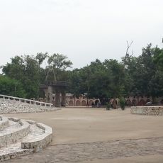
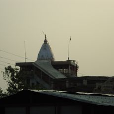
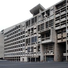
Panchkula district, Administrative district in Ambala division, India

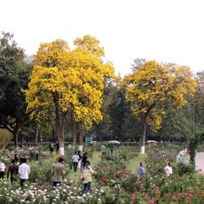
Panchkula district is an administrative division in the Ambala region that covers 898 square kilometers and includes five main towns: Panchkula, Barwala, Kalka, Pinjore, and Raipur Rani. The district headquarters manages approximately 264 villages through two administrative subdivisions.

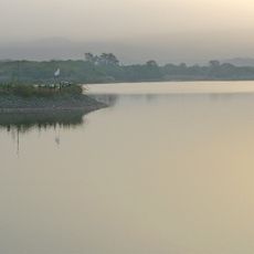
The district was established in 1995 and takes its name from five irrigation channels that distributed water from the Ghaggar River across the region. These waterways had supported farming and settlement for centuries before the modern district was created.

The local communities speak primarily Hindi and Haryanvi, with rural areas using the Puadhi dialect in everyday conversation. These languages shape how people interact and connect across the district.

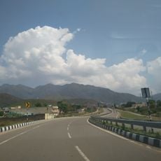
The main towns and villages are connected by road networks that pass through varied landscapes and rural areas. Visitors should know that reaching remote villages may vary depending on the season and local conditions.

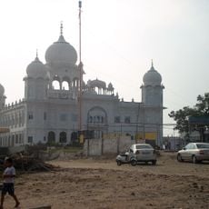
The Chandimandir Cantonment is a major military installation that shapes the western portion of the district and houses the headquarters of a significant command structure. This presence has substantially influenced the development of nearby urban areas.

Location: Ambala division

Capital city: Panchkula

Shares border with: Ambala district

Website: http://Panchkula.nic.in

GPS coordinates: 30.69000,76.86000

Latest update: December 7, 2025 19:24

Photos
Reviews

Visited this place? Tap the stars to rate it and share your experience / photos with the community! Try now! You can cancel it anytime.

« Panchkula district - Administrative district in Ambala division, India » is provided by Around Us (aroundus.com). Images and texts are derived from Wikimedia project under a Creative Commons license. You are allowed to copy, distribute, and modify copies of this page, under the conditions set by the license, as long as this note is clearly visible.

Discover hidden gems everywhere you go!

From secret cafés to breathtaking viewpoints, skip the crowded tourist spots and find places that match your style. Our app makes it easy with voice search, smart filtering, route optimization, and insider tips from travelers worldwide. Download now for the complete mobile experience.

Around Us App Screenshot

A unique approach to discovering new places

Le Figaro

All the places worth exploring

France Info

A tailor-made excursion in just a few clicks

20 Minutes