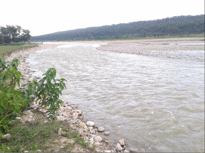
Kamala River, Transboundary river between Bagmati Province, Nepal and Bihar, India
The Kamala River flows roughly 330 kilometers from the Mahabharat range in Nepal through Bihar and moves south toward the Ganges basin. The waterway feeds an established network of irrigation channels that supply fields across a wide farming region.
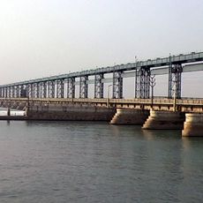
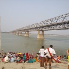
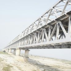
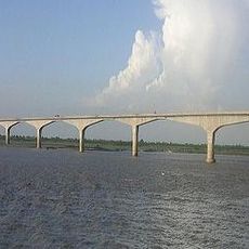
The Kamala Barrage built near Jainagar in the 20th century transformed how water was managed and controlled in the region. This structure marked a turning point in allowing people to use the river's flow more effectively for farming.
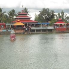
Communities living along the banks use the water for traditional farming practices and perform religious ceremonies at various spots. These rituals remain central to how people mark important moments and honor the river's role in their lives.
The river is easiest to reach from the Indian side in Bihar, where several roads and paths run along its banks. The best time to visit is during drier months when water levels are more stable and the banks are easier to access.
During monsoon season the river carries heavy loads of sediment that naturally enrich and fertilize the fields across the border region. This seasonal flooding has shaped farming practices for generations of people living here.
The community of curious travelers
AroundUs brings together thousands of curated places, local tips, and hidden gems, enriched daily by 60,000 contributors worldwide.