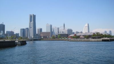
Yokohama, Port district in Kanagawa Prefecture, Japan
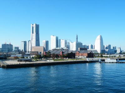
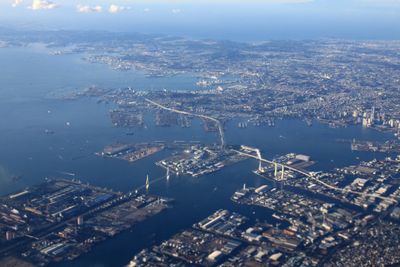
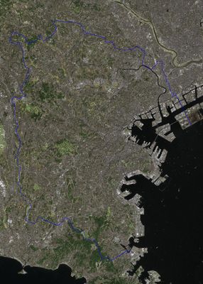
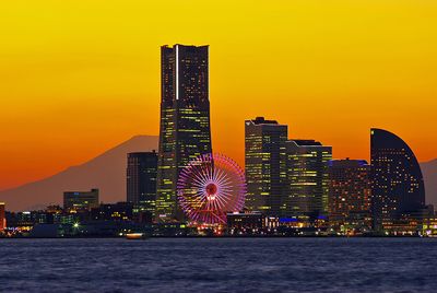
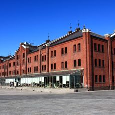
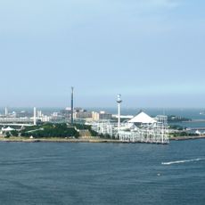
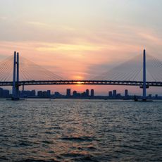
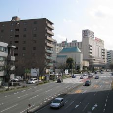
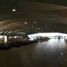
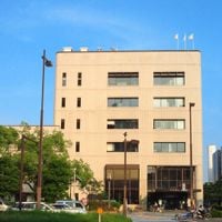
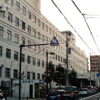
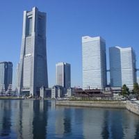
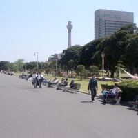
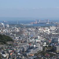
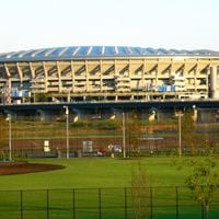
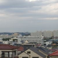
Yokohama is a port city in Kanagawa Prefecture, about 30 kilometers southwest of Tokyo, with multiple districts spreading along the northwestern shore of Tokyo Bay. The city consists of residential neighborhoods, commercial zones, industrial areas, parks and a waterfront section with piers, terminals and open plazas facing the water.
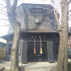
A treaty signed in 1854 opened this fishing village to foreign trade, turning it into the first harbor to receive international ships after more than two centuries of isolation. The following decades brought an influx of merchants, diplomats and immigrants from China who established communities that remain today.
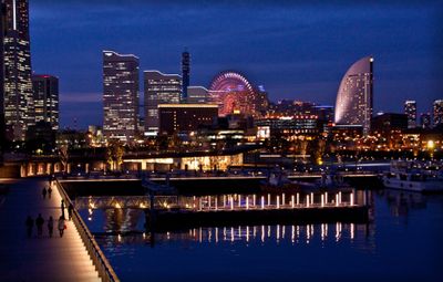
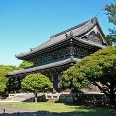
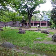
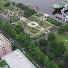
Locals and visitors use waterfront promenades for running and watching ships pass through the bay, while harbor parks fill with families during weekends. Chinatown draws crowds throughout the day with its narrow lanes lined by red lanterns, temple courtyards and open storefronts selling dumplings and tea.
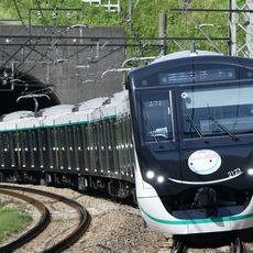
Districts spread over a wide area, so bringing a map or using a navigation app helps on a first visit, especially when moving between railway stations. Trains, subways and buses connect most points, with lines running directly to Tokyo and Haneda Airport.
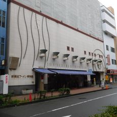
An interactive museum dedicated to instant noodles lets visitors design their own cup with personalized ingredients and labels before watching it travel down a packaging line. Another floor displays a replica of the inventor's shed where he carried out his first experiments with dried noodles in 1958.
The community of curious travelers
AroundUs brings together thousands of curated places, local tips, and hidden gems, enriched daily by 60,000 contributors worldwide.