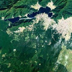
Kai Province, Historical province in Yamanashi Prefecture, Japan
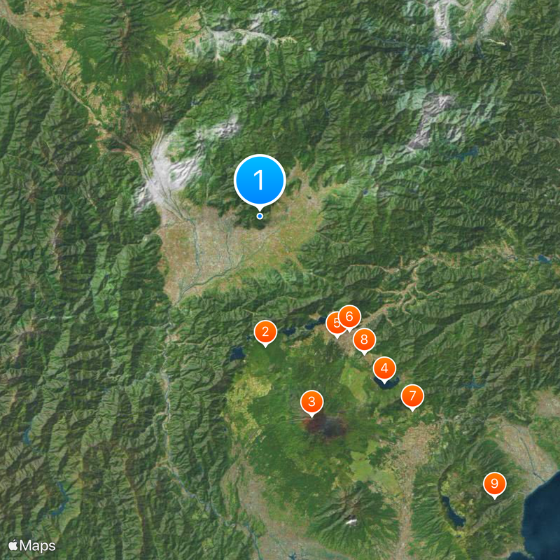
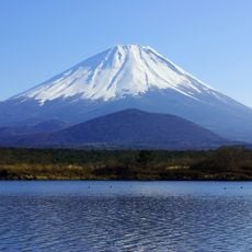
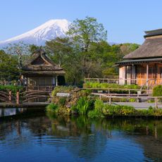
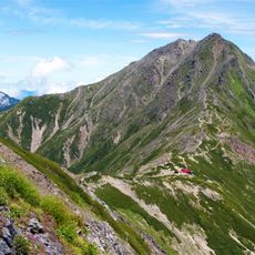
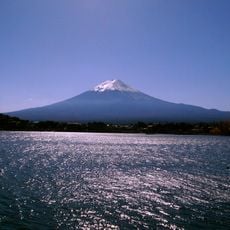
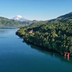
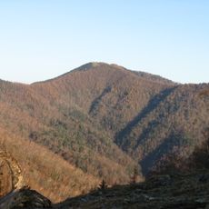
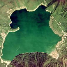
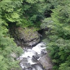
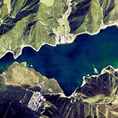
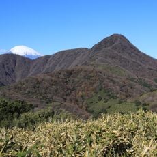
Kai is a former province now part of Yamanashi Prefecture in central Japan, landlocked between high mountain ranges. The territory covers valleys and uplands bordered by the Japanese Alps to the north and west.
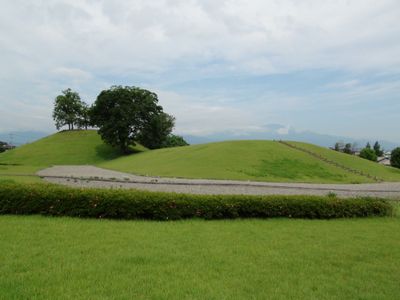
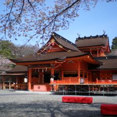
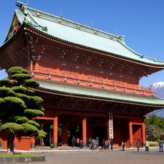
The territory rose to power in the 16th century when Takeda Shingen made Kōfu his stronghold and controlled wide areas from there. After the Sengoku era ended, the region came under direct shogunate administration.
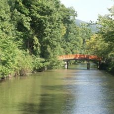
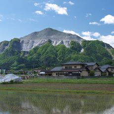
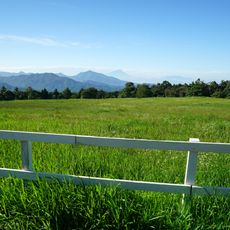
The name comes from an old Japanese term meaning "far" or "remote," referring to its distance from ancient capitals. Visitors today can see how traditional farming methods still shape valley settlements, where terraced fields follow steep slopes and small shrines mark water sources along mountain paths.
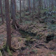
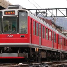
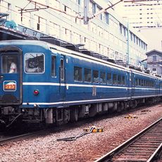
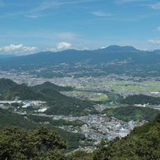
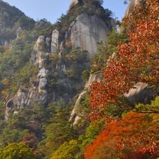
The area sits along two historic trade routes connecting Edo with western regions, leaving many old markers and post stations preserved. Visitors find easier terrain in the valleys, while higher elevations require alpine conditions and proper preparation.
The territory was divided into nine districts, whose old boundaries remain partly visible today in place names and local administrative units. Some of these districts carried directional labels like "north" or "south," reflecting geographic features and settlement patterns within the mountain landscape.
The community of curious travelers
AroundUs brings together thousands of curated places, local tips, and hidden gems, enriched daily by 60,000 contributors worldwide.