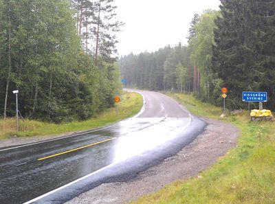
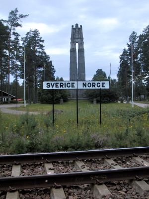
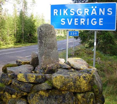
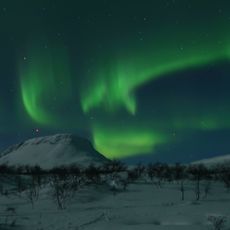
Norway–Sweden border, International border in Northern Europe.
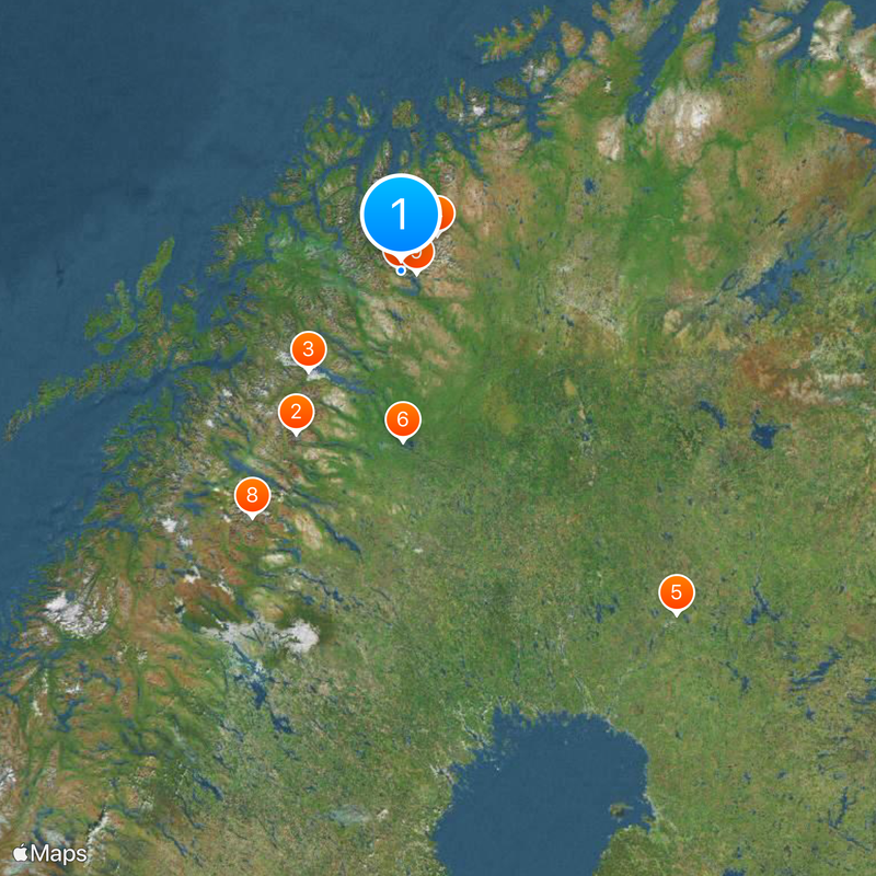
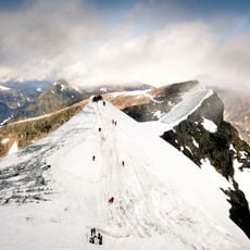
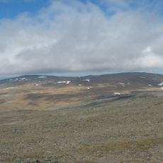
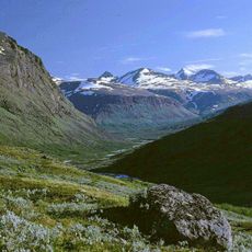
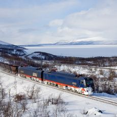
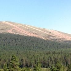
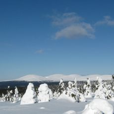
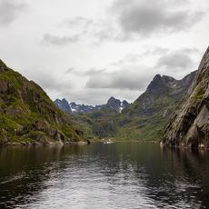
The Norway–Sweden border extends roughly 1,630 kilometers (1,010 miles) from the tripoint with Finland in the north to the Skagerrak strait in the south. The line runs through mountains and forests, and even divides several lakes and islands between the two countries.
The border took its current form through the Treaty of Strömstad in 1751, which settled the boundary based on farm ownership and parish boundaries. This agreement marked a turning point, ending a centuries-long union and establishing two independent nations.
The Sami people have crossed this line for centuries with their reindeer herds, following ancient migration routes that ignore modern boundaries. Their presence reminds visitors that the border came much later than the way of life it now divides.
Although Sweden is in the European Union and Norway is not, the Schengen Agreement allows visitors to travel freely between both countries without border checks. Travelers should still carry their identity documents, as identity verification can happen at any time.
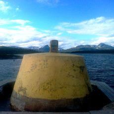
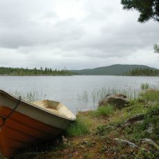
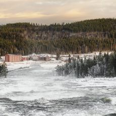
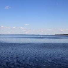
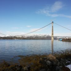
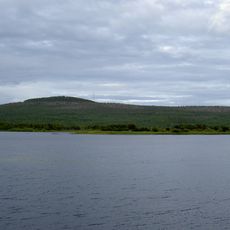
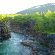
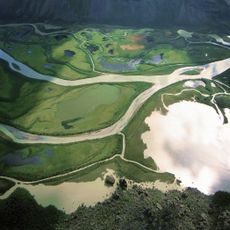
The border divides several lakes and waterways, with some islands split between the two countries, requiring special local agreements for daily administration. This unusual geography makes the boundary a real-world puzzle where nature and human lines constantly challenge each other.
The community of curious travelers
AroundUs brings together thousands of curated places, local tips, and hidden gems, enriched daily by 60,000 contributors worldwide.