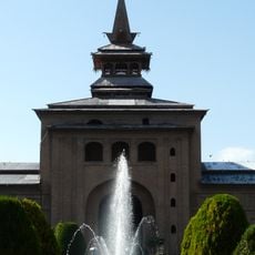
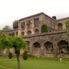
Azad Kashmir, Administrative division in northern Pakistan
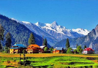
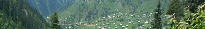
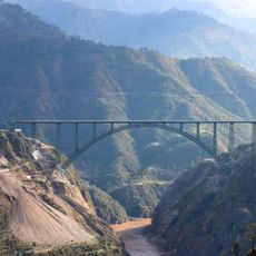
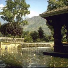
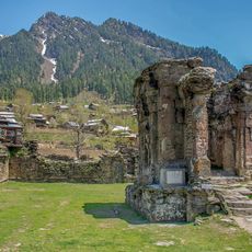
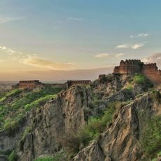
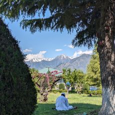
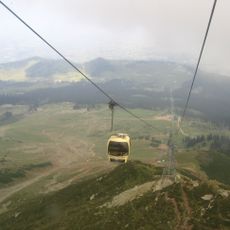
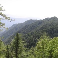
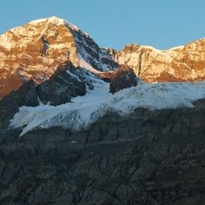
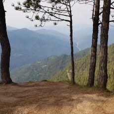
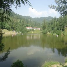
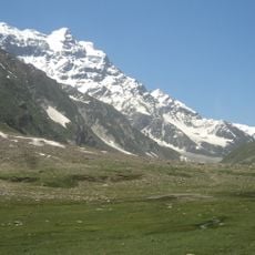
The region covers roughly 13,000 square kilometers of mountainous terrain between Pakistan and India, with green valleys and snow-covered peaks. The landscape includes deep gorges, pine forests, and rivers flowing through steep slopes, while small settlements cling to hillsides.
The area became self-governing under Pakistani administration after the 1947 partition of British India and subsequent fighting. Since then, the border has remained disputed, with several ceasefires and ongoing political negotiations between neighboring states.
People speak Pahari and Urdu in daily conversation, while villages still echo with older dialects and devotional Sufi songs during weddings and religious gatherings. Hand-woven carpets and embroidered shawls appear in local markets, where women in colorful salwar kameez shop among spice stalls and fresh bread.
Travelers need special permits for entry, arranged through registered Pakistani tour operators. Roads are often narrow and winding, especially at higher elevations, where weather conditions can shift quickly.
The territory maintains its own elected government with a president, prime minister, and supreme court, though major foreign policy decisions remain with Islamabad. A bus link between the two parts of the region opened in 2005 for limited family visits across the border.
The community of curious travelers
AroundUs brings together thousands of curated places, local tips, and hidden gems, enriched daily by 60,000 contributors worldwide.