Hindu Raj, Mountain range in Khyber Pakhtunkhwa and Gilgit-Baltistan, Pakistan.
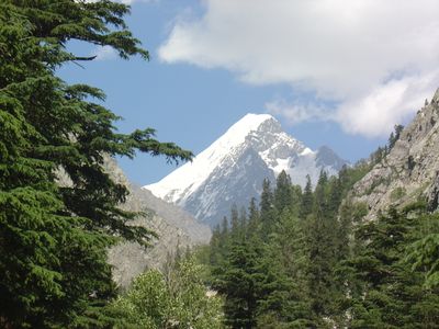
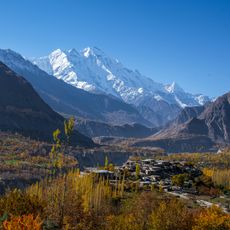
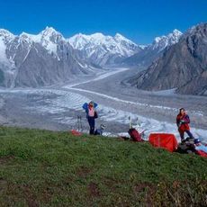
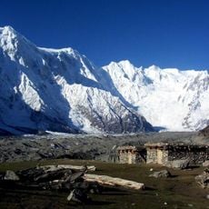
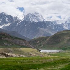
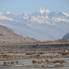
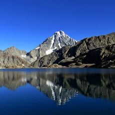
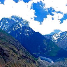
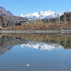
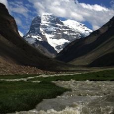
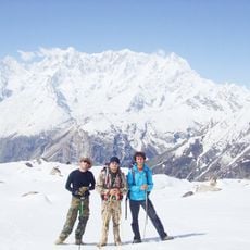
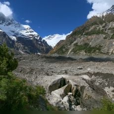
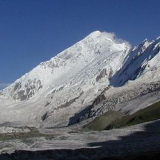
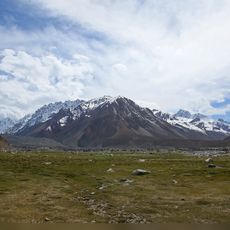
Hindu Raj is a mountain range positioned between the Hindu Kush and Karakoram, featuring peaks that rise between 5000 and 6000 meters. The landscape shows steep slopes, deep valleys, and ridge systems that create a rugged terrain traversed by passes and river corridors.
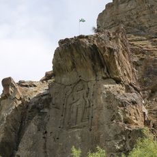
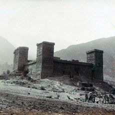
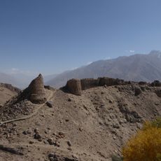
This range took its name from the Hindu Shahi rulers who controlled the territory during their reign over northern regions of what is now Pakistan. The medieval rulers left their mark through this geographical name that has persisted for centuries.
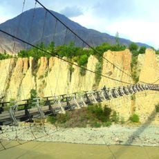
The valleys here are home to several ethnic groups, each maintaining distinct languages and traditions that shape local life. Walking through these areas, you notice how communities preserve their own ways of speaking and living despite the challenging mountain terrain.
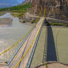
The Lowari Pass is the main route across this range, connecting Dir with Chitral, though conditions vary with seasons. Prepare for changing weather and challenging conditions, especially during winter months when the pass may become difficult to traverse.
While neighboring ranges soar above 7000 meters, this range remains notably lower, with its highest peak Koyo Zum reaching about 6872 meters. This makes it an overlooked option for mountain trekkers seeking high-altitude experience without the extreme elevations found in adjacent regions.
The community of curious travelers
AroundUs brings together thousands of curated places, local tips, and hidden gems, enriched daily by 60,000 contributors worldwide.