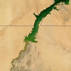
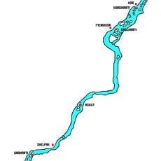
Wadi Halfa Salient, Geographical salient at Sudan-Egypt border
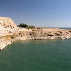
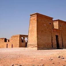
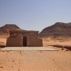
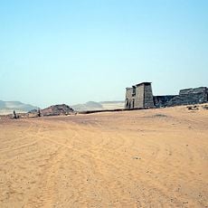
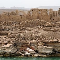
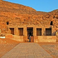
The Wadi Halfa Salient is a protruding landform along the Sudan-Egypt border that extends into Egyptian territory. Today the area consists mainly of rocky terrain along the eastern shores of Lake Nasser, with only a small portion of the original land remaining accessible.
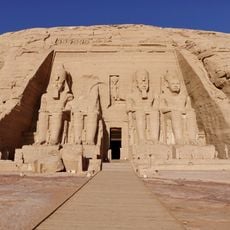
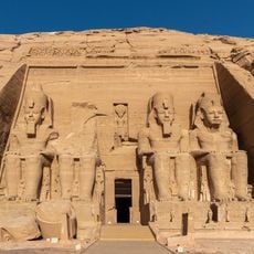
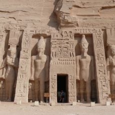
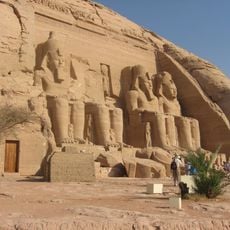
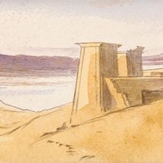
The salient was created by a border adjustment in 1902 when British authorities modified the original straight boundary line established in 1899. The construction of the Aswan High Dam later submerged large portions of the region, reshaping the geography along the border.
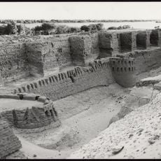
This region carries deep ties to modern Sudanese identity, as the construction of the Aswan High Dam fundamentally altered the landscape and displaced local communities. People here hold onto memories of lost settlements and the resilience required to rebuild their lives elsewhere.
The area is mainly rocky and difficult to access, so visits should be well-planned and arranged with local guidance. The best time to visit is during the cooler season when conditions are most comfortable.
The area is subject to a long-standing border dispute, with Egypt recognizing the 1899 treaty while Sudan accepts the 1902 modification. This difference in understanding the boundary makes it one of the few places where two neighboring countries interpret their shared border differently.
The community of curious travelers
AroundUs brings together thousands of curated places, local tips, and hidden gems, enriched daily by 60,000 contributors worldwide.