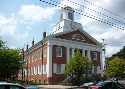
Bedford County, County seat in south Pennsylvania, United States.
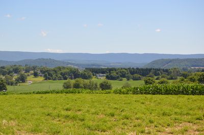
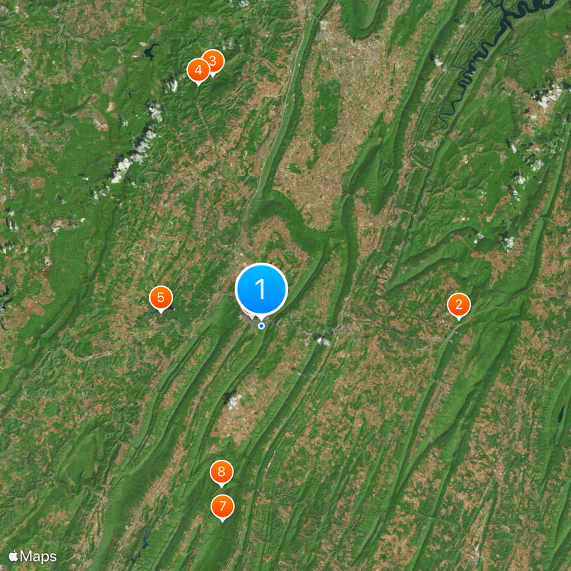
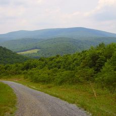
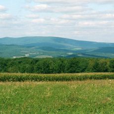
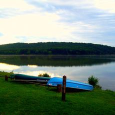
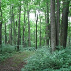
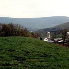
Bedford County is an administrative division in south Pennsylvania covering roughly 1,017 square miles of land shaped by mountain ridges, valleys, and the Raystown Branch of the Juniata River. The terrain varies from rolling hills to higher elevations that create a mixed landscape of forests and open areas.
The county was established in 1771 by separating from Cumberland County and took its name from Fort Bedford, a former military outpost. Following the American Revolution, the region experienced steady population growth as settlers moved into the area.
The Bedford Springs Hotel served as a gathering place for government officials and wealthy visitors during President James Buchanan's time in office. People traveled here hoping to benefit from the natural mineral springs that attracted guests from across the region.
The county is crossed by two major highways that link it to Pittsburgh to the west and Philadelphia to the east. These transportation routes make it easy to travel through and provide good access to nearby cities and regions.
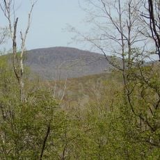
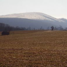
Blue Knob mountain reaches about 3,120 feet (950 meters) above sea level and represents the highest point in the region. This peak shapes the landscape and is visible from many places throughout the county.
Location: Pennsylvania
Inception: 1771
Capital city: Bedford
Shares border with: Blair County, Huntingdon County, Fulton County, Allegany County, Somerset County, Cambria County
Website: http://bedfordcountypa.org
GPS coordinates: 40.01000,-78.49000
Latest update: December 20, 2025 02:05
Rays Hill Tunnel
24.4 km
Blue Knob
31.6 km
Blue Knob State Park
30.9 km
Shawnee State Park
12.5 kmFort Bedford
1.6 kmMid State Trail
24.6 km
Buchanan State Forest
20.4 km
Bedford Village Archeological Site
4 km
Warriors Path State Park
28.7 km
Gallitzin State Forest
28.8 km
The Coffee Pot
2.7 km
Martin Hill
19.5 km
Espy House
1.5 km
John P. Saylor Trail
32 km
New Baltimore Bridge
24.2 kmThe Narrows
1.6 km
Schaefer Head
35.3 km
Diehls Covered Bridge
13.5 kmState Game Lands Number 49
22.4 kmState Game Lands Number 26
32 kmState Game Lands Number 73
16.1 km
Kinton Knob
5.6 km
Woodvale Historic District
34.7 km
Barclay House
1.4 km
Chalybeate Springs Hotel
2.1 km
Chestnut Ridge and Schellsburg Union Church and Cemetery
14.8 kmState Game Lands Number 48
21.2 kmState Game Lands Number 97
9 kmVisited this place? Tap the stars to rate it and share your experience / photos with the community! Try now! You can cancel it anytime.
Discover hidden gems everywhere you go!
From secret cafés to breathtaking viewpoints, skip the crowded tourist spots and find places that match your style. Our app makes it easy with voice search, smart filtering, route optimization, and insider tips from travelers worldwide. Download now for the complete mobile experience.
A unique approach to discovering new places❞
— Le Figaro
All the places worth exploring❞
— France Info
A tailor-made excursion in just a few clicks❞
— 20 Minutes