Enable Location

We need your location to show you interesting places around you

Discover nearby places

Find interesting locations and hidden gems around you

Precise directions

Get accurate directions and distances to places

Your location is never shared with other users. It's only used when you tap the location button.

Lâm Hà

Log in to your account

Start exploring — it's free

Trusted by 62,385 travelers worldwide

Continue with Google
Continue with Apple
or

We will send you a code to connect

By continuing, you accept our Terms and Conditions and our Privacy Policy

Check your inbox

We've sent a pincode in your inbox. Please enter the code below.

Lâm Hà

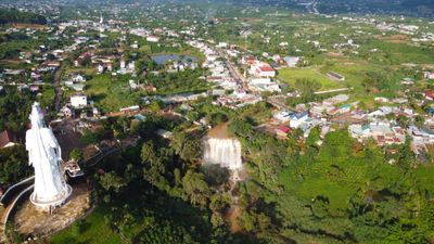
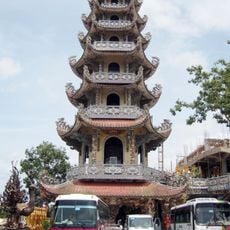
Lâm Hà, Rural district in Lâm Đồng, Vietnam.

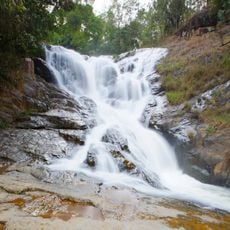
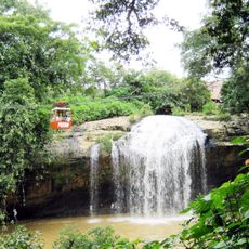
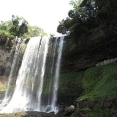
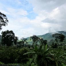
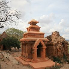
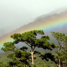
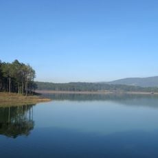
Lâm Hà is a rural district in the Central Highlands with mountainous terrain and extensive agricultural land spread across the region. The area features villages interspersed with fields and forests that shape its landscape.

The district name combines Lâm from the province with Hà, reflecting northern Vietnamese settlers who migrated here to develop farming. This settlement pattern shaped how the area was built and used from its earliest days.

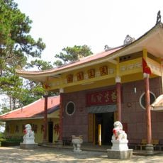
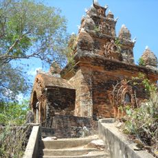
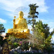
Multiple ethnic groups here maintain their traditions through local markets where they sell farm products and handmade items from their communities. These gathering places show how different groups share daily life and keep their customs alive.

The district connects to larger cities through an established road network that makes travel straightforward. Visitors should plan for longer travel times due to the hilly landscape and winding roads through the region.

The district is known for growing Laba bananas, a special variety traditionally presented as royal offerings. These bananas thrive in the elevated fields and remain a proud product of local farming.

The community of curious travelers

AroundUs brings together thousands of curated places, local tips, and hidden gems, enriched daily by 60,000 contributors worldwide.

Start exploring
Location
Elevation above the sea
862 m
GPS coordinates
11.83300,108.16700
Latest update
December 7, 2025 19:24
« Lâm Hà - Rural district in Lâm Đồng, Vietnam » is provided by Around Us (aroundus.com). Images and texts are derived from Wikimedia project under a Creative Commons license. You are allowed to copy, distribute, and modify copies of this page, under the conditions set by the license, as long as this note is clearly visible.

Discover hidden gems everywhere you go!

From secret cafés to breathtaking viewpoints, skip the crowded tourist spots and find places that match your style. Our app makes it easy with voice search, smart filtering, route optimization, and insider tips from travelers worldwide. Download now for the complete mobile experience.

Around Us App Screenshot

A unique approach to discovering new places

Le Figaro

All the places worth exploring

France Info

A tailor-made excursion in just a few clicks

20 Minutes

Around Us
Travel Guide & Maps
Download

Send to your phone

QR Code
1

Open the camera app on your mobile.

2

Point at the QR code with your camera. A notification will appear.

3

Tap the notification to open the link.