
Mê Linh, Landgemeinde in Vietnam
Location: Lâm Hà
Elevation above the sea: 1,083 m
GPS coordinates: 11.89222,108.33972
Latest update: March 21, 2025 15:20
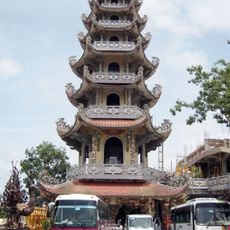
Linh Phuoc Pagoda
18.3 km
St. Nicholas Cathedral
11.8 km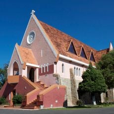
Domaine de Marie
11.7 km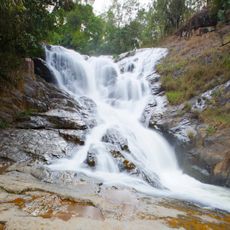
Datanla falls
11.9 km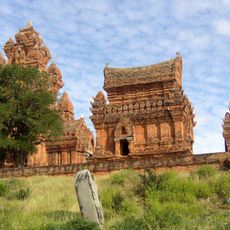
Po Klong Garai Temple
73.6 km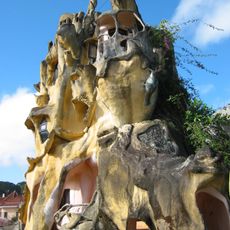
Hằng Nga guesthouse
11 km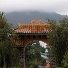
Truc Lam Temple
10.6 km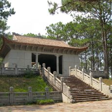
Nguyen Huu Hao Mausoleum
10 km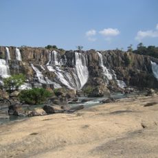
Pongour Waterfall
20.6 km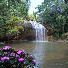
Prenn Falls
14.3 km
Bidoup Nui Ba National Park
62.7 km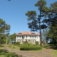
Palace I
15.3 km
Đà Lạt cable car
12 km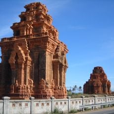
Thap Hoa Lai
79.6 km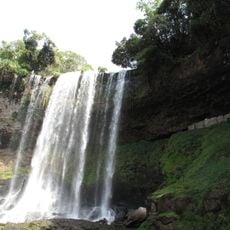
Đambri falls
70.6 km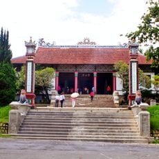
Linh Son Pagoda
12.4 km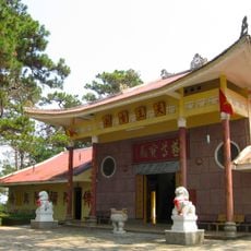
Thiên Vương Cổ Sát
13.7 km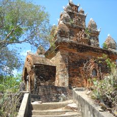
Tháp Po Rome
72 km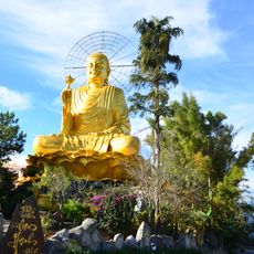
Van Hanh Zen Monastery
14.3 km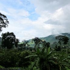
Phuoc Binh National Park
49 km
Da Lat Railway Station
13.6 km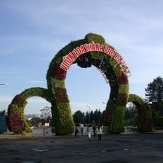
Đà Lạt flower park
13.6 km
Bobla Waterfall
49.7 km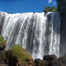
Elephant Waterfalls
7.7 km
Chùa Linh Quang (Đà Lạt)
12.1 km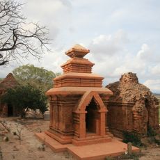
Tháp Po Dam
79.6 km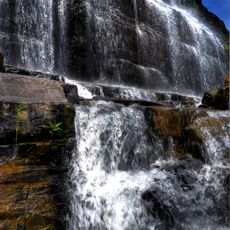
Thác Gougah
23.3 km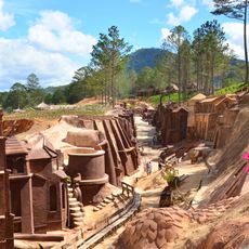
Dalat Clay Tunnel
7.8 kmReviews
Visited this place? Tap the stars to rate it and share your experience / photos with the community! Try now! You can cancel it anytime.
Discover hidden gems everywhere you go!
From secret cafés to breathtaking viewpoints, skip the crowded tourist spots and find places that match your style. Our app makes it easy with voice search, smart filtering, route optimization, and insider tips from travelers worldwide. Download now for the complete mobile experience.

A unique approach to discovering new places❞
— Le Figaro
All the places worth exploring❞
— France Info
A tailor-made excursion in just a few clicks❞
— 20 Minutes