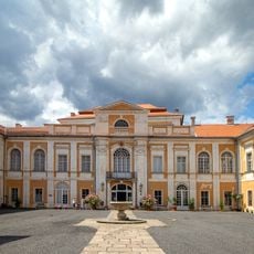
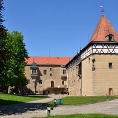
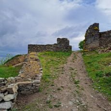
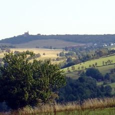
České středohoří Protected Landscape Area, Protected landscape area in northern Bohemia, Czech Republic
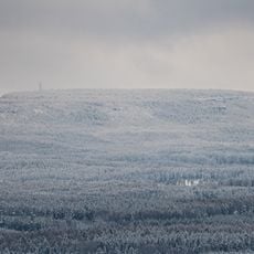
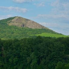
The Bohemian Uplands is a protected landscape area between Louny and Česká Lípa, divided by the Elbe River. Its highest point is Milešovka at 837 m, and its lowest is the Elbe level at Děčín at 121 m. The area covers parts of seven districts and is the second-largest protected landscape area in the Czech Republic.
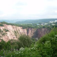
The area took shape during the Tertiary period through volcanic activity that created the distinctive geological structures visible today. This volcanic past fundamentally influenced the soil composition and landscape development.
The area's Czech name, České středohoří, means "Bohemian Middle Mountains". Nine educational trails maintained by the protected area's administration introduce visitors to the landscape, among them the Bedřich Smetana Trail and the Lovoš Trail. The administration is based in Litoměřice, in Michalská Street.
The area offers a network of marked hiking trails that connect various geological formations with multiple entry points throughout the region. Plan enough time for varied elevation changes and wear sturdy footwear for the terrain.
Rare plant species thrive here, adapted to specific microclimates created by volcanic soil and varying elevations across the region. These particular conditions make the area a refuge for plants rarely found elsewhere.
The community of curious travelers
AroundUs brings together thousands of curated places, local tips, and hidden gems, enriched daily by 92,185 contributors worldwide.