
Canelo School
Location: Santa Cruz County
GPS coordinates: 31.54210,-110.51100
Latest update: April 25, 2025 09:47

Fort Huachuca
15.3 km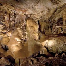
Kartchner Caverns State Park
36.4 km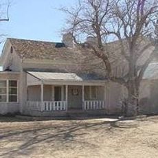
Empire Ranch
29.8 km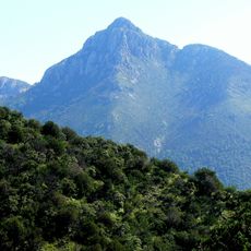
Mount Wrightson
36.3 km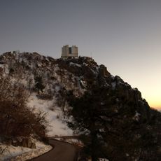
MMT Observatory
39 km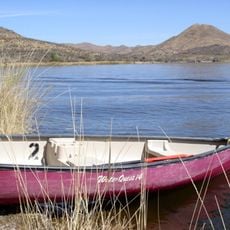
Patagonia Lake State Park
33 km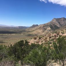
Coronado National Memorial
30.2 km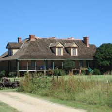
San Rafael Ranch
23.1 km
Fred Lawrence Whipple Observatory
38.1 km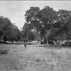
Fort Buchanan
22.6 km
Miller Peak
26.5 km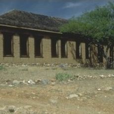
Kentucky Camp
29.9 km
Murray Springs Clovis Site
31.6 km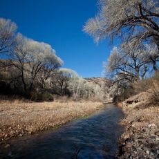
San Pedro Riparian National Conservation Area
36.3 km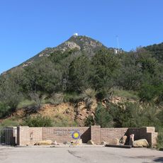
Mount Hopkins
39 km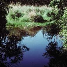
Las Cienegas National Conservation Area
28.3 km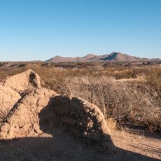
Presidio Santa Cruz de Terrenate
37.3 km
Apache Peak
32.4 km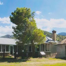
Brown Canyon Ranch
21.6 km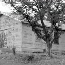
The Little Outfit Schoolhouse
7.9 km
Hereford Arizona Observatory
27.8 km
Canelo Hills Cienega Reserve
2.7 km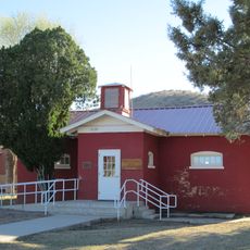
Little Red Schoolhouse
38.3 km
Canelo Ranger Station
1.2 km
Cady Hall
23 km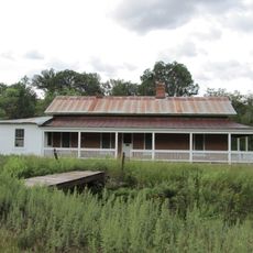
James Finley House
20.4 km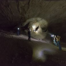
Coronado cave
31.9 km
Kinjockity Ranch
32.5 kmReviews
Visited this place? Tap the stars to rate it and share your experience / photos with the community! Try now! You can cancel it anytime.
Discover hidden gems everywhere you go!
From secret cafés to breathtaking viewpoints, skip the crowded tourist spots and find places that match your style. Our app makes it easy with voice search, smart filtering, route optimization, and insider tips from travelers worldwide. Download now for the complete mobile experience.

A unique approach to discovering new places❞
— Le Figaro
All the places worth exploring❞
— France Info
A tailor-made excursion in just a few clicks❞
— 20 Minutes