Chest opened
+${chestReward.xp} XP
Explorer
NOUVEAU ×${chestReward.collectible.quantity}
tapez pour fermer

See the monuments around you in AR Open chests in the app

Around Us is built for your phone — point your camera at the streets and discover the monuments and places around you in augmented reality. Around Us is built for your phone — chests unlock when you walk, explore and capture nearby places.

Enable Location

We need your location to show you interesting places around you

Discover nearby places

Find interesting locations and hidden gems around you

Precise directions

Get accurate directions and distances to places

Your location is never shared with other users. It's only used when you tap the location button.

Log in to your account

Start exploring — it's free

Trusted by 85,929 travelers worldwide

Continue with Google
Continue with Apple
or

We will send you a code to connect

By continuing, you accept our Terms and Conditions and our Privacy Policy

Check your inbox

We've sent a pincode in your inbox. Please enter the code below.

Fort Piute
Discussion Reviews Photo
1.4k Popularity

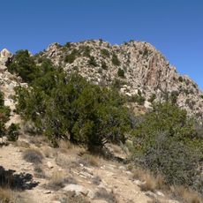
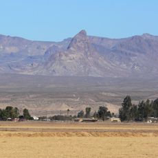
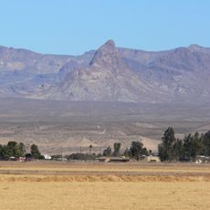
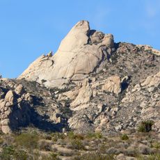
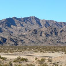
Fort Piute, Military fort ruins in San Bernardino County, California, US.

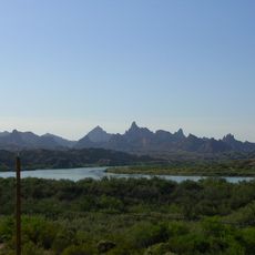
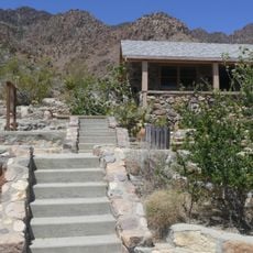
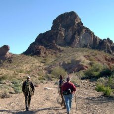
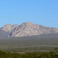
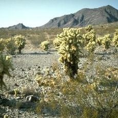
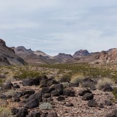
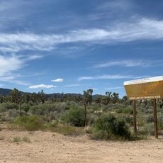
Fort Piute is a military fort ruin located at an elevation of about 2,828 feet in the Mojave Desert near Piute Creek. The site consists of thick stone walls and the remains of a three-room building that still shows the basic shape of its original construction.

The U.S. Army built this fort in 1859 to protect travelers on the Mojave Road from conflicts with the indigenous people of the region. Its construction was part of a larger effort to secure new trade routes crossing the desert.

The fort's name comes from the Piute people who inhabited this region long before its military construction. Visitors walking through the ruins can see how this space marks an intersection between two different histories of human presence in the desert.

Reaching the site requires a four-wheel-drive vehicle and takes considerable effort due to the remote desert location. Visitors must bring plenty of water and be prepared for the isolation and lack of facilities in the area.

The fort was strategically positioned where Piute Creek's surface flow ends, creating a natural water source for travelers crossing the desert. This hidden oasis made the site a critical stopping point on the harsh crossing.

The community of curious travelers

AroundUs brings together thousands of curated places, local tips, and hidden gems, enriched daily by 60,000 contributors worldwide.
Start exploring
GPS coordinates
35.11500,-114.98528
Latest update
September 11, 2026 22:25
Around this place
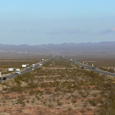
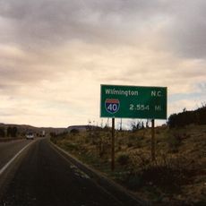
Interstate 40
United States of America

Interstate 40

27.7 mi
United States of America

AN/URC-117 Ground Wave Emergency Network

28.7 mi
Desperado
United States of America

Desperado

41.2 mi
Interstate 40 in California
United States of America

Interstate 40 in California

18.9 mi
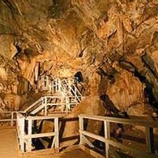
Mitchell Caverns
United States of America

Mitchell Caverns

32.3 mi
Castle Mountains National Monument
United States of America

Castle Mountains National Monument

13.1 mi
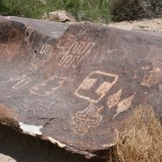
Grapevine Canyon Petroglyphs
United States of America

Grapevine Canyon Petroglyphs

18.6 mi
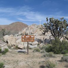
Mojave Memorial Cross
United States of America

Mojave Memorial Cross

34.8 mi
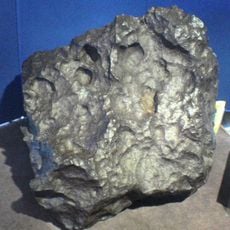
Old Woman meteorite
United States of America

Old Woman meteorite

39.4 mi
The Needles
United States of America

The Needles

43.4 mi
Providence Mountains State Recreation Area
United States of America

Providence Mountains State Recreation Area

31.8 mi
Havasu National Wildlife Refuge
United States of America

Havasu National Wildlife Refuge

34.4 mi
Spirit Mountain
United States of America

Spirit Mountain

18.5 mi
Bigelow Cholla Garden Wilderness
United States of America

Bigelow Cholla Garden Wilderness

20.1 mi
Clipper Mountain Wilderness
United States of America

Clipper Mountain Wilderness

35.8 mi
Old Trails Bridge
United States of America

Old Trails Bridge

39.6 mi
Dead Mountains
United States of America

Dead Mountains

16.4 mi
Red Rock Bridge
United States of America

Red Rock Bridge

39.4 mi
Spirit Mountain Wilderness
United States of America

Spirit Mountain Wilderness

22.2 mi
Warm Springs Wilderness
United States of America

Warm Springs Wilderness

41.2 mi
United States of America

Bridge Canyon Wilderness

18.1 mi
Boundary Cone
United States of America

Boundary Cone

33.5 mi
Grapevine Canyon
United States of America

Grapevine Canyon

18.6 mi
United States of America

Alexey W. Von Schmidt

19.6 mi
Goffs Schoolhouse
United States of America

Goffs Schoolhouse

14.1 mi
Wee Thump Joshua Tree Wilderness, Nevada
United States of America

Wee Thump Joshua Tree Wilderness, Nevada

29.7 mi
Riverview Resort Golf Course
United States of America

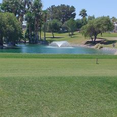
Riverview Resort Golf Course

23.3 mi
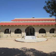
Cool Springs Station
United States of America

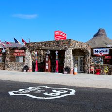
Cool Springs Station

38.8 mi
Show the full map
Reviews
Share your experience

No review yet

Discussions
Start a discussion...

No discussion yet

« Fort Piute - Military fort ruins in San Bernardino County, California, US » is provided by Around Us (aroundus.com). Images and texts are derived from Wikimedia project under a Creative Commons license. You are allowed to copy, distribute, and modify copies of this page, under the conditions set by the license, as long as this note is clearly visible.

Discover hidden gems everywhere you go!

From secret cafés to breathtaking viewpoints, skip the crowded tourist spots and find places that match your style. Our app makes it easy with voice search, smart filtering, route optimization, and insider tips from travelers worldwide. Download now for the complete mobile experience.

Around Us App Screenshot

A unique approach to discovering new places

Le Figaro

All the places worth exploring

France Info

A tailor-made excursion in just a few clicks

20 Minutes

Around Us
Travel Guide & Maps
Download

Send to your phone

QR Code
1

Open the camera app on your mobile.

2

Point at the QR code with your camera. A notification will appear.

3

Tap the notification to open the link.