Apurimac Department, Regional administrative division in southern Peru
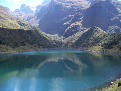
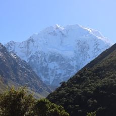
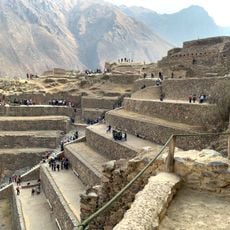
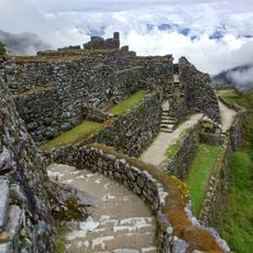
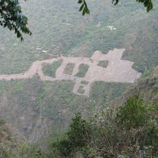
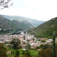
Apurimac is a regional division in south-central Peru that spans mountain ranges and valleys, divided into seven provinces with Abancay serving as the capital. The territory sits between Andean peaks and includes both highland areas and deeper river valleys.
The division was created in 1873 as a separate region and named after the river that flows through the territory. Before colonial times, the Chanca people lived here and resisted the expansion of the Inca Empire before eventually being incorporated.
The region maintains strong Quechua traditions with 70 percent of residents speaking the language, while celebrating local ceremonies and preparing traditional mountain dishes.
Buses connect main towns like Abancay and Andahuaylas through mountain roads, with travel times varying depending on road conditions. The rainy season between November and March can make some routes more difficult to pass.
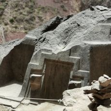
The Saywite Stone near Abancay displays over two hundred carved representations of animals, plants and water channels on its surface. Archaeologists consider it a three-dimensional map or possibly a model for planning irrigation systems.
The community of curious travelers
AroundUs brings together thousands of curated places, local tips, and hidden gems, enriched daily by 60,000 contributors worldwide.