Antofagasta de la Sierra

Log in to your account

AroundUs is a community-driven map of interesting places, built by curious explorers like you. It grows with every review, story, and photo you share.
Connect to save your favorite spots, contribute locations, and create personalized routes.
By continuing, you accept our Terms and Conditions and our Privacy Policy

Antofagasta de la Sierra

Add to collection
Map
Suggest a change
Share

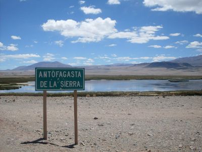
Antofagasta de la Sierra, Mining municipality in Catamarca Province, Argentina.

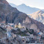
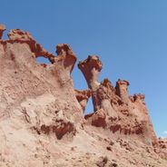
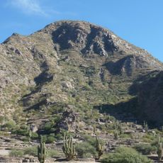
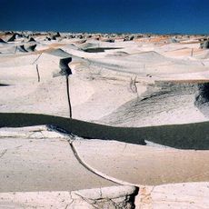
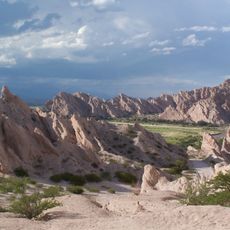
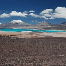
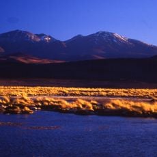
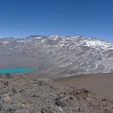
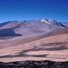
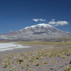
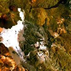
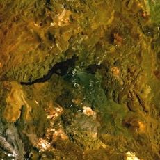
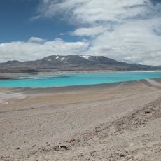
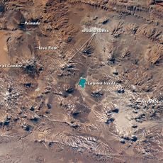
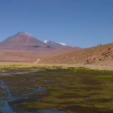
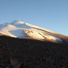
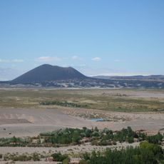
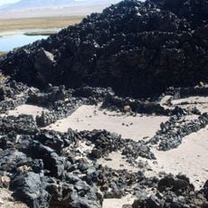
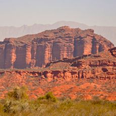
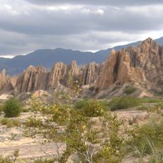
Antofagasta de la Sierra sits at 3,320 meters elevation in volcanic mountain terrain where mineral deposits are scattered throughout the landscape. The geology shapes everything visible here, from the rock formations to the way the land is organized.

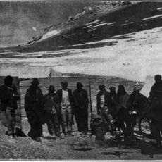
Archaeological findings show that hunter-gatherer communities lived in this region roughly 8,000 years ago, sustaining themselves through hunting wild camelids and gathering amaranth grains. These early settlements form the foundation of human occupation here.

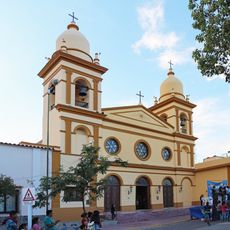
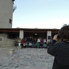
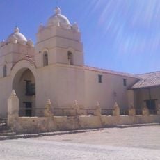
The community preserves traditions from Diaguitas and Atacameño ancestors through local ceremonies and festivals held throughout the year. These practices shape daily life and the identity of those who live here.

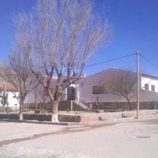
The location is remote and requires four-wheel-drive vehicles to reach; visitors should bring all necessary supplies with them. Limited public transport and services mean that careful planning and self-sufficiency are important.

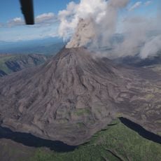
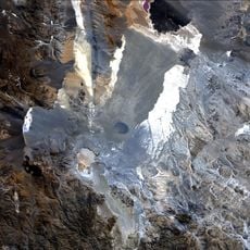
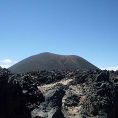
The surrounding volcanic landscape holds more than 200 volcanoes, including Galán which contains the world's largest explosive caldera. This geological formation makes the region exceptional for anyone interested in volcanology.

Location: Antofagasta de la Sierra Department

Elevation above the sea: 3,320 m

GPS coordinates: -26.05944,-67.40639

Latest update: December 6, 2025 16:02

Photos
Uncommon natural sites and landmarks in Argentina

Argentina extends across multiple climate zones and contains numerous geological formations. The country encompasses high mountain ranges in the Andes, salt flats in the northwest, rock formations in Patagonia, and extensive grasslands. These areas display the region's geological history and the...

Remote locations in Argentina

The Argentine landscape offers far more than its well-known urban centers. In the northwest, geological formations like Quebrada de las Conchas with its red sandstone cliffs and Talampaya National Park with its eroded canyons draw visitors. Quebrada de Humahuaca displays layers from millions of...

Natural landscapes in northwest Argentina

Northwest Argentina is a region where deserts, wine regions and Andean valleys coexist. Salt flats, striking rock formations, pre-Columbian sites and traditional mountain villages define this landscape. The terrain shifts between bare highlands, colorful mountain ranges and green valleys where small...

Reviews

Visited this place? Tap the stars to rate it and share your experience / photos with the community! Try now! You can cancel it anytime.

« Antofagasta de la Sierra - Mining municipality in Catamarca Province, Argentina » is provided by Around Us (aroundus.com). Images and texts are derived from Wikimedia project under a Creative Commons license. You are allowed to copy, distribute, and modify copies of this page, under the conditions set by the license, as long as this note is clearly visible.

Discover hidden gems everywhere you go!

From secret cafés to breathtaking viewpoints, skip the crowded tourist spots and find places that match your style. Our app makes it easy with voice search, smart filtering, route optimization, and insider tips from travelers worldwide. Download now for the complete mobile experience.

Around Us App Screenshot

A unique approach to discovering new places

Le Figaro

All the places worth exploring

France Info

A tailor-made excursion in just a few clicks

20 Minutes