Karatu District, Administrative district in Arusha Region, Tanzania
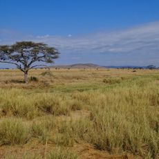
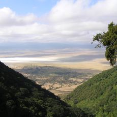
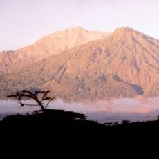
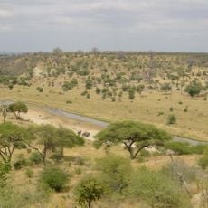
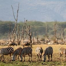
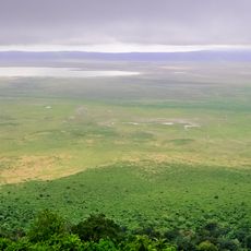
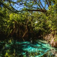
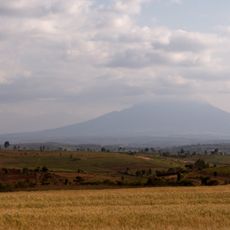
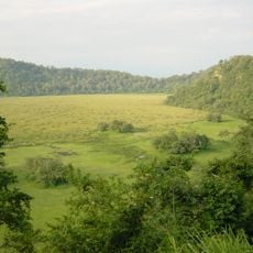
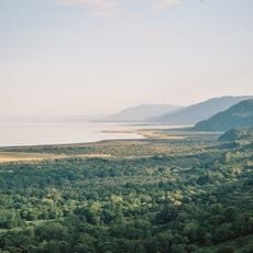
Karatu District is an administrative district in Arusha Region in northern Tanzania, positioned between Lake Manyara, Lake Eyasi, and the Ngorongoro Crater rim. The landscape is shaped by rivers and volcanic soils that create varied terrain with different conditions across the district.
The district was established as an administrative council in 1997 and gained formal recognition in 2000 following Tanzania's general election. This formalization marked a turning point in how local government was structured in the region.
The Iraqw people form the main community and shape daily life through their farming practices and traditions. Datooga herders and Hadza hunter-gatherers share the landscape, each maintaining distinct ways of living.
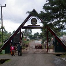
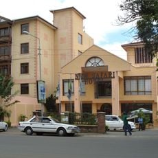
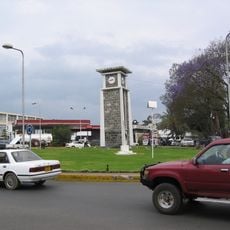
A network of roads connects Karatu town to larger centers like Arusha and Mwanza, with some sections paved. Access to the district is generally possible, though road conditions may vary depending on the season and type of road.
The northern areas receive significantly more rainfall than the southern Eyasi basin, creating dramatically different conditions for farming and land use. This natural division produces two distinct zones within a short distance.
The community of curious travelers
AroundUs brings together thousands of curated places, local tips, and hidden gems, enriched daily by 60,000 contributors worldwide.