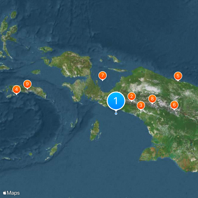
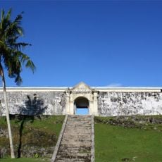
Western New Guinea, Geographic region in eastern Malay Archipelago, Indonesia
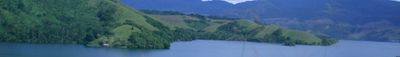
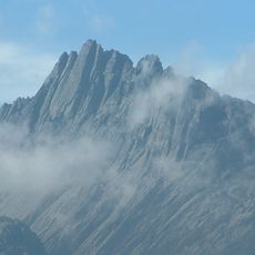
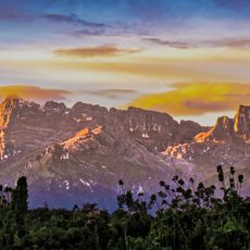
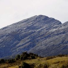
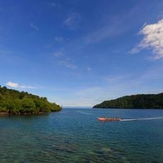
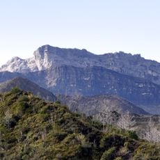
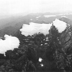
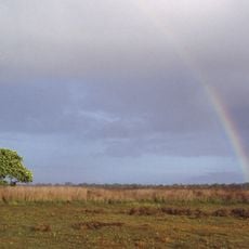
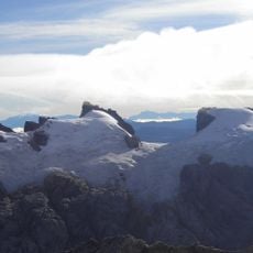
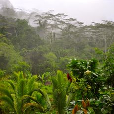
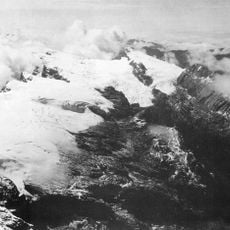
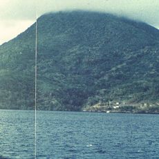
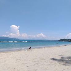
Western New Guinea forms the western half of New Guinea island and extends across a rugged highland interior with Jaya Peak rising to 4,884 meters (16,024 feet) and broad coastal lowlands blanketed in dense rainforest. Rivers cut through plains toward coastal swamps and mangrove zones along the Pacific.
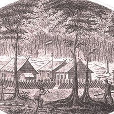
The area belonged to the Dutch East Indies and transferred to Indonesian administration in 1962 after negotiations supervised by the United Nations. A referendum took place in 1969 and formalized the integration into the republic.
More than seven hundred languages are spoken across valleys and coastal villages, with communities like the Dani and Asmat maintaining inherited art forms and ceremonial traditions. Wood carving, woven fiber and feathered ornaments reflect the skill of local craftspeople.
Administration is organized into six provinces: Central Papua, Highland Papua, South Papua, Southwest Papua, Papua, and West Papua. Travel requires air connections between larger settlements, and overland routes are sometimes accessible only by dirt roads or trails.
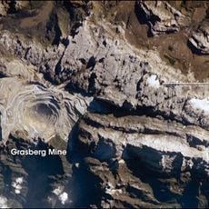
A mine at Tembagapura in the central highlands holds one of the largest copper reserves worldwide. Further east, the same rock formations also hide significant gold deposits.
The community of curious travelers
AroundUs brings together thousands of curated places, local tips, and hidden gems, enriched daily by 60,000 contributors worldwide.