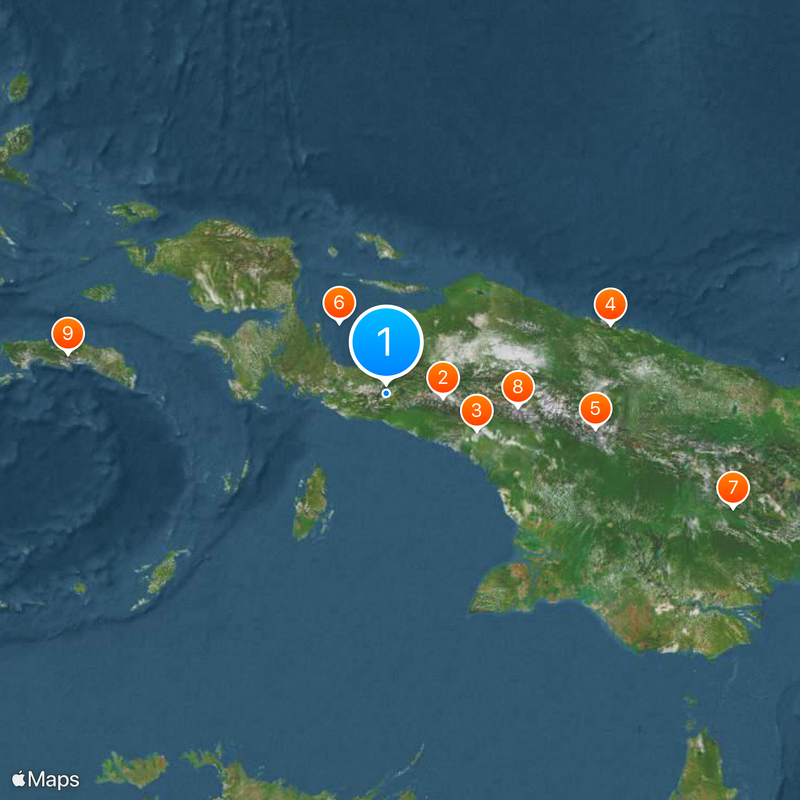
Central Papua, Administrative division in Indonesia
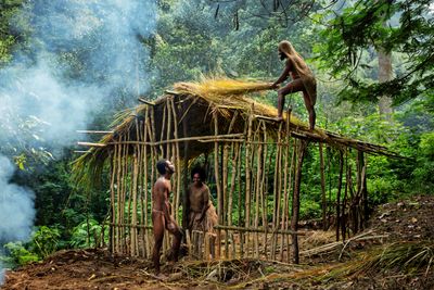
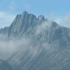
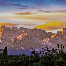
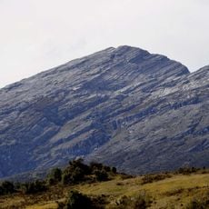
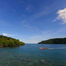
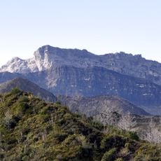
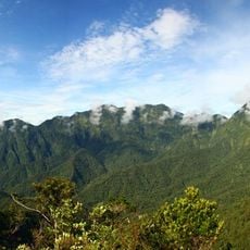
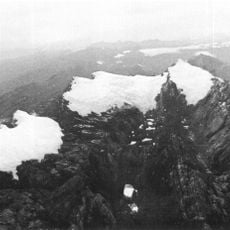
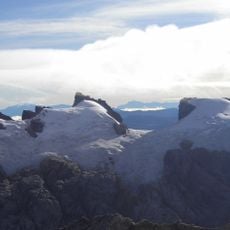
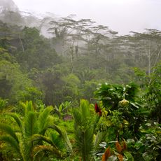
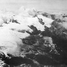
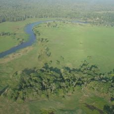
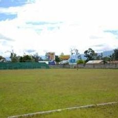
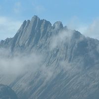
Central Papua lies across mountainous highlands and tropical lowlands in eastern Indonesia, forming one of the country's newest administrative regions. The territory covers parts of the central mountain range and several river valleys that open toward the coast.
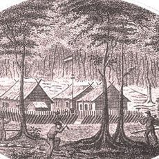
The administrative unit was established through a government decision in June 2022 when the former Papua province was split into several smaller divisions. This reorganization aimed to bring governance closer to local populations and improve regional development programs.
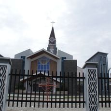
The name Papua comes from the Malay word for frizzy hair, reflecting the features of the Melanesian inhabitants. This administrative region remains one of the most linguistically diverse areas on the planet, with many villages still using their own dialects in daily conversation.
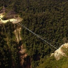
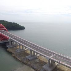
Travel between towns relies mainly on air connections, as road links remain limited due to the mountainous terrain. The Trans-Papua Highway connects some of the larger settlements, though certain sections can be difficult to navigate depending on weather conditions.
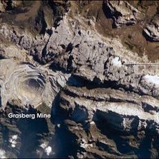
The geological conditions have created substantial mineral deposits, including gold and petroleum fields, which are extracted under government oversight. At the same time, large portions of the territory are protected to conserve biodiversity, leading to ongoing debates about balancing resource extraction with conservation efforts.
The community of curious travelers
AroundUs brings together thousands of curated places, local tips, and hidden gems, enriched daily by 60,000 contributors worldwide.