Oaxaca de Juárez Municipality, Administrative capital in Central Valleys Region, Mexico.
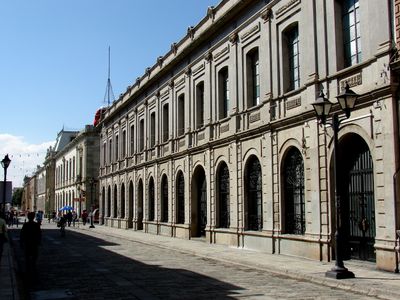
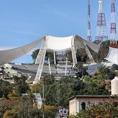
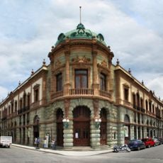
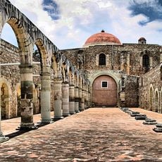
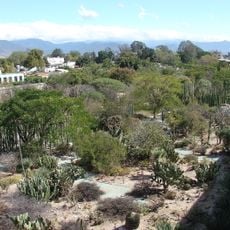
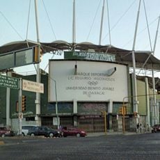
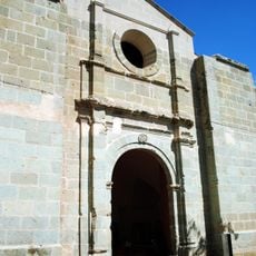
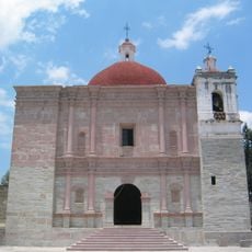
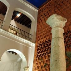
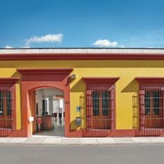
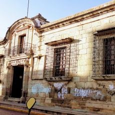
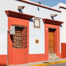
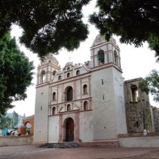
Oaxaca de Juárez is the administrative capital of the Central Valleys region, located at about 1,557 meters (5,108 feet) elevation. The city combines colonial-era buildings with modern neighborhoods and serves as the region's government and cultural center.
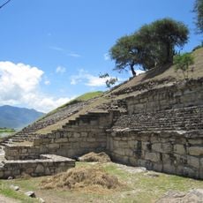
Spanish settlers founded the city in 1532 using the Aztec name Guajaca, derived from Huaxyacac. The area achieved municipal status in 1879, transforming into an independent administrative entity.
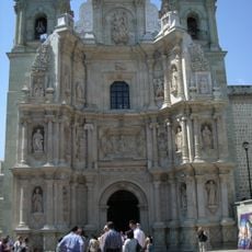
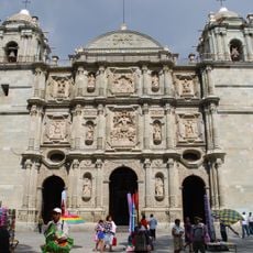
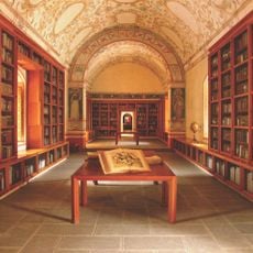
The main plaza features murals in government buildings that reflect local artistic traditions and the region's craftsmanship. Visitors can observe how contemporary artists continue to document the city's character through their work displayed in these public spaces.
The city operates on UTC-06:00 time zone with telephone area code 951 for making calls. The main postal code 68000 covers central administrative areas and helps with mail delivery to local addresses.
Local residents continue speaking Zapotec and Mixtec languages, traditionally known as La'a and Ñuu Nunduva respectively. These indigenous languages remain woven into daily conversations and community identity throughout the municipality.
GPS coordinates: 17.09659,-96.72078
Latest update: December 7, 2025 20:22
Monte Albán
7.7 km
Árbol del Tule
10.6 km
Zaachila
16.3 km
San José Mogote
11.8 km
Estadio Tecnológico de Oaxaca
3.3 km
Basilica of Our Lady of Solitude
3.8 km
Cathedral of Our Lady of the Assumption, Oaxaca
3.9 km
Auditorio Guelaguetza
3.3 km
Teatro Macedonio Alcalá
3.9 km
Benito Juárez National Park
8.2 km
Dainzú
20.3 km
Ex-monastery of Santiago Apóstol
13.2 km
Jardín Etnobotánico de Oaxaca
3.3 km
Estadio Benito Juárez
3.1 km
Museo Estatal de Arte Popular de Oaxaca
15.4 km
Eduardo Vasconcelos Stadium
3.1 km
Oaxaca México Temple
6.2 km
Centro Académico y Cultural San Pablo
3.9 km
Church of San Pablo
1.7 km
Museo Textil de Oaxaca
4 km
Museo de Filatelia de Oaxaca
3.4 km
Archaeological Zone of Atzompa
6.9 km
Museo Del Ferrocarril Mexicano Del Sur
3.6 km
Library Fray Francisco de Burgoa
3.4 km
Centro Fotográfico Manuel Álvarez Bravo
3.6 km
Museo de Arte Prehispánico de México Rufino Tamayo
3.8 km
Museo de Sitio Casa Juárez
3.3 km
Templo de San Jerónimo Tlacochahuaya
17.8 kmVisited this place? Tap the stars to rate it and share your experience / photos with the community! Try now! You can cancel it anytime.
Discover hidden gems everywhere you go!
From secret cafés to breathtaking viewpoints, skip the crowded tourist spots and find places that match your style. Our app makes it easy with voice search, smart filtering, route optimization, and insider tips from travelers worldwide. Download now for the complete mobile experience.
A unique approach to discovering new places❞
— Le Figaro
All the places worth exploring❞
— France Info
A tailor-made excursion in just a few clicks❞
— 20 Minutes