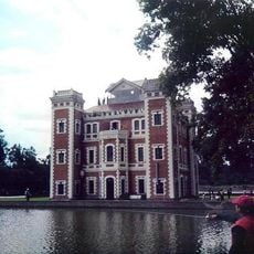
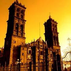
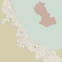
Veracruz, Mexican state region in Gulf of Mexico, Mexico.
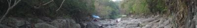
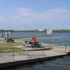
Veracruz extends over more than 650 kilometers along the gulf coast between the drier plains to the north and the wetter tropical areas to the south. The landscape shifts between beaches, mangrove swamps, and densely forested hills inland.
The Spanish expedition reached this coast in 1519 and soon after founded the first permanent European settlement on the American mainland. Over the following centuries, enslaved Africans were brought here, shaping the regional culture to this day.
Afro-Mexican presence shows itself in the jarocho music tradition with its harp accompaniment and playful text improvisation. This oral tradition stays alive during family gatherings and local festivals.
The climate stays warm and humid throughout the year, with the rainy season from June to October bringing heavy downpours. Roads in rural areas can become harder to travel during the rainy season.
Vanilla orchids grow wild in the higher elevations and became the basis for worldwide vanilla cultivation. Local farmers sometimes explain to visitors the traditional hand pollination of these plants.
Location: Mexico
Inception: 1823
Capital city: Xalapa
Elevation above the sea: 300 m
Shares border with: Puebla, Hidalgo, Tamaulipas, San Luis Potosí, Tabasco, Oaxaca, Chiapas
Website: http://veracruz.gob.mx
GPS coordinates: 19.52722,-96.92250
Latest update: December 4, 2025 14:20
Citlaltepetl
66.3 km
Cantona
59.2 km
Cofre de Peru en tanga
23.9 km
Cempoala
55.1 km
San Carlos Fortress
34.2 km
Museo de Antropología de Xalapa
2.7 km
Hacienda del Lencero
12.1 km
Parque Nacional Cofre de Perote
23.9 km
Cascada de Texolo
15.9 km
Parque Juárez
191 m
Estadio Xalapeño
886 m
Las Derrumbadas
62.2 km
El Cuajilote
51.3 km
Gran Glaciar Norte
65.9 km
Parque Los Berros
708 m
Catedral de Teziutlán
56.1 km
Playa de Chachalacas
63.9 km
Jardín Botánico Francisco J. Clavijero
24.4 km
Zona Arqueológica de Cantona
60 km
Tlaqná
2 km
Park Doña Falla
3 km
Museo Bola de Oro Finca Roma
8.4 km
Museum of Orchids
8.9 km
Pinacoteca Diego Rivera
222 m
Los Humeros
57.9 km
Las Cumbres
55.6 km
Naolinco Volcanic Field
24.1 km
Serdán-Oriental
64.2 kmVisited this place? Tap the stars to rate it and share your experience / photos with the community! Try now! You can cancel it anytime.
Discover hidden gems everywhere you go!
From secret cafés to breathtaking viewpoints, skip the crowded tourist spots and find places that match your style. Our app makes it easy with voice search, smart filtering, route optimization, and insider tips from travelers worldwide. Download now for the complete mobile experience.
A unique approach to discovering new places❞
— Le Figaro
All the places worth exploring❞
— France Info
A tailor-made excursion in just a few clicks❞
— 20 Minutes