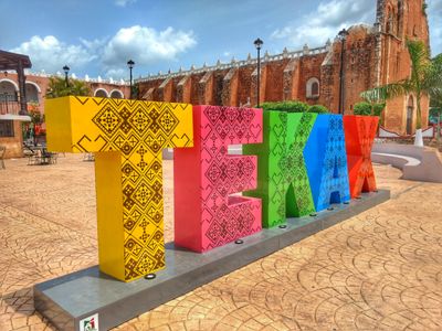
Tekax, Municipal administrative division in Yucatán, Mexico.
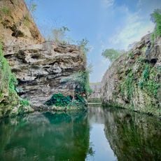
Tekax de Álvaro Obregón is a municipality in Yucatán that spreads across limestone formations. The area sits roughly 37 meters above sea level and lies about 115 kilometers from Mérida.
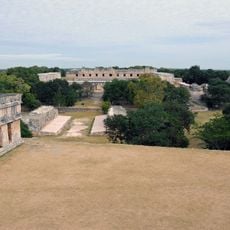
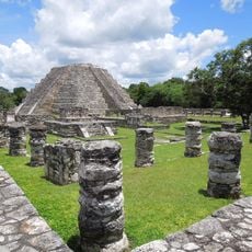
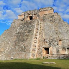
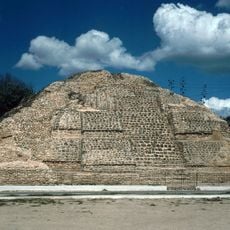
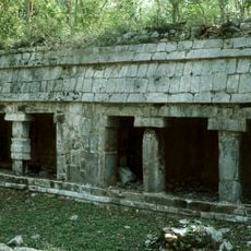
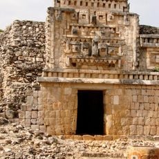
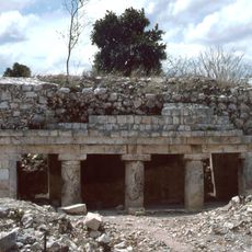
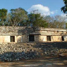
The region was under Maya rule as part of the Tutul Xiu jurisdiction before Spanish conquerors took control in the 16th century under Alfonso López and Francisco Bracamonte. This conquest marked the shift from Maya governance to colonial rule.
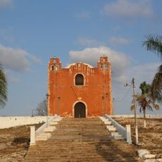
The parish church of San Juan Bautista and the chapel of Eternal Father shape the town with their colonial architecture. These religious buildings show how Spanish culture left its mark on local construction styles.
The municipality is registered under postal code 97970 and has road connections to nearby towns like Akil, Oxkutzcab, and Ticul. These links make it easy to visit other places in the region.
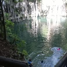
The name comes from the Maya language, with 'Te' meaning place and 'k'áax' meaning forest. The combination literally translates to 'place in the forest' and preserves the linguistic connection to pre-Hispanic times.
The community of curious travelers
AroundUs brings together thousands of curated places, local tips, and hidden gems, enriched daily by 60,000 contributors worldwide.