Chest opened
+${chestReward.xp} XP
Explorer
NOUVEAU ×${chestReward.collectible.quantity}
tapez pour fermer
Chest locked

Open chests in the app

Around Us is built for your phone — chests unlock when you walk, explore and capture nearby places.

Enable Location

We need your location to show you interesting places around you

Discover nearby places

Find interesting locations and hidden gems around you

Precise directions

Get accurate directions and distances to places

Your location is never shared with other users. It's only used when you tap the location button.

California State Route 20

Log in to your account

Start exploring — it's free

Trusted by 72,993 travelers worldwide

Continue with Google
Continue with Apple
or

We will send you a code to connect

By continuing, you accept our Terms and Conditions and our Privacy Policy

Check your inbox

We've sent a pincode in your inbox. Please enter the code below.

California State Route 20
Discussion Reviews 1 Photos
18.3k Popularity

California State Route 20, state highway in California, United States

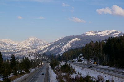
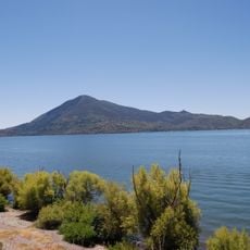
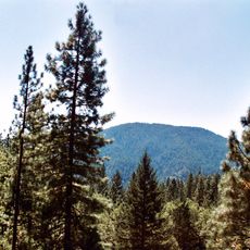
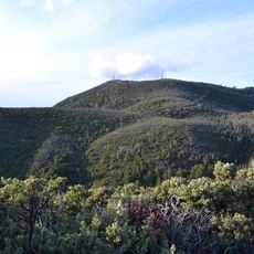
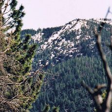
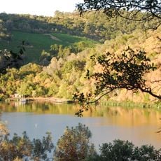
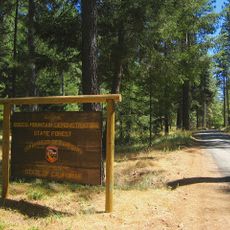
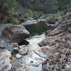
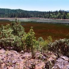
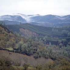
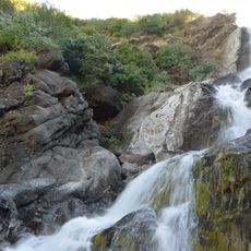
California State Route 20 is a main road that runs across northern California, starting near the coast and moving inland through forests and mountain terrain. The route climbs through mountain passes and valleys, passing small towns and connecting to Lakes and outdoor areas before reaching Interstate 80 at higher elevations.

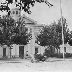
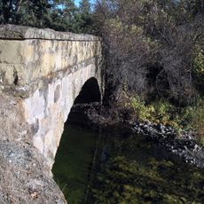
The route began as a wagon path in the late 1800s and follows segments of historic trails used by early settlers in the 19th century. Over decades it was expanded into a modern highway that connected rural areas to larger cities and now sits alongside the historic California Trail route.

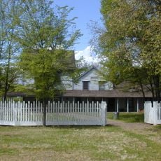
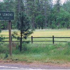
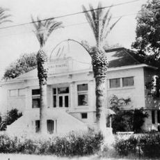
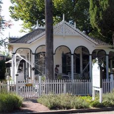
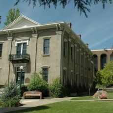
The road passes through small towns where historic buildings and old storefronts line the streets, showing how communities have evolved over time. Visitors can observe how local people use this route for everyday activities, connecting them to shops, workplaces, and gathering spots that reflect the region's character.

The route has several narrow and winding sections, particularly through forested and hilly areas, so careful driving is needed and conditions may change. During colder months, ice and snow can appear at higher elevations, and construction work is common during warmer months as safety improvements continue.

The route runs alongside the historic California Trail, which was used by thousands of pioneers with wagons and horses in the 1800s. Along the way are markers and plaques telling stories of early settlers and local heroes, making the drive feel like traveling through history.

The community of curious travelers

AroundUs brings together thousands of curated places, local tips, and hidden gems, enriched daily by 60,000 contributors worldwide.

Start exploring
Location
Location
Location
Location
Location
Location
GPS coordinates
39.01465,-122.49086
Latest update
February 17, 2026 00:01
Around this place
Chateau Montelena
United States of America

Chateau Montelena

46.7 km
Mount Konocti
United States of America

Mount Konocti

24.3 km
Berryessa Snow Mountain National Monument
United States of America

Berryessa Snow Mountain National Monument

9.5 km
United States of America

Blue Lakes

48.7 km
Cobb Mountain
United States of America

Cobb Mountain

31.6 km
Robert Louis Stevenson State Park
United States of America

Robert Louis Stevenson State Park

41.4 km
Snow Mountain Wilderness
United States of America

Snow Mountain Wilderness

49 km
Clear Lake State Park
United States of America

Clear Lake State Park

27.5 km
Anderson Marsh State Historic Park
United States of America

Anderson Marsh State Historic Park

15.9 km
Boggs Mountain Demonstration State Forest
United States of America

Boggs Mountain Demonstration State Forest

27.7 km
Delevan National Wildlife Refuge
United States of America

Delevan National Wildlife Refuge

47.6 km
Colusa National Wildlife Refuge
United States of America

Colusa National Wildlife Refuge

41.8 km
Crabtree Hot Springs, California
United States of America

Crabtree Hot Springs, California

41.9 km
Boggs Lake Ecological Reserve
United States of America

Boggs Lake Ecological Reserve

28.6 km
Blue Ridge Berryessa Natural Area
United States of America

Blue Ridge Berryessa Natural Area

30.5 km
Loch Lomond Vernal Pool Ecological Reserve
United States of America

Loch Lomond Vernal Pool Ecological Reserve

25.9 km
Cache Creek Wilderness
United States of America

Cache Creek Wilderness

10.8 km
Snow Mountain East
United States of America

Snow Mountain East

46.8 km
Rice Fork
United States of America

Rice Fork

41.9 km
East Park Dam
United States of America

East Park Dam

38.6 km
Sacramento Valley Museum
United States of America

Sacramento Valley Museum

32.3 km
Zim Zim Falls
United States of America

Zim Zim Falls

30 km
Sam Brannan Cottage
United States of America

Sam Brannan Cottage

48.7 km
Lakeport Carnegie Library
United States of America

Lakeport Carnegie Library

36.7 km
California Coast Ranges Biosphere Reserve
United States of America

California Coast Ranges Biosphere Reserve

43.4 km
Colusa County Courthouse
United States of America

Colusa County Courthouse

47.2 km
Old Lake County Courthouse
United States of America

Old Lake County Courthouse

37 km
Swartz Creek Bridge on Aetna Springs Road
United States of America

Swartz Creek Bridge on Aetna Springs Road

40.2 km
Show the full map
Reviews
Share your experience

No review yet

Discussions
Start a discussion...

No discussion yet

« California State Route 20 - state highway in California, United States » is provided by Around Us (aroundus.com). Images and texts are derived from Wikimedia project under a Creative Commons license. You are allowed to copy, distribute, and modify copies of this page, under the conditions set by the license, as long as this note is clearly visible.

Discover hidden gems everywhere you go!

From secret cafés to breathtaking viewpoints, skip the crowded tourist spots and find places that match your style. Our app makes it easy with voice search, smart filtering, route optimization, and insider tips from travelers worldwide. Download now for the complete mobile experience.

Around Us App Screenshot

A unique approach to discovering new places

Le Figaro

All the places worth exploring

France Info

A tailor-made excursion in just a few clicks

20 Minutes

Around Us
Travel Guide & Maps
Download

Send to your phone

QR Code
1

Open the camera app on your mobile.

2

Point at the QR code with your camera. A notification will appear.

3

Tap the notification to open the link.