Enable Location

We need your location to show you interesting places around you

Discover nearby places

Find interesting locations and hidden gems around you

Precise directions

Get accurate directions and distances to places

Your location is never shared with other users. It's only used when you tap the location button.

Yuba County

Log in to your account

Start exploring — it's free

Trusted by 62,618 travelers worldwide

Continue with Google
Continue with Apple
or

We will send you a code to connect

By continuing, you accept our Terms and Conditions and our Privacy Policy

Check your inbox

We've sent a pincode in your inbox. Please enter the code below.

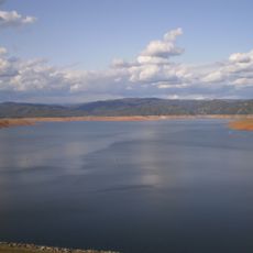
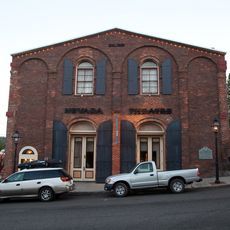
Yuba County, Administrative county in northern California, United States.

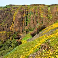
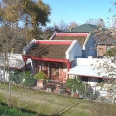
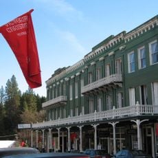
Yuba County is an administrative region in northern California that spans varied terrain, from flat agricultural areas to Sierra Nevada foothills. Marysville serves as its administrative hub and connects the different communities throughout the county.

The county was established in 1850 as one of California's original 27 counties and took its name from the Yuba River. This founding coincided with the Gold Rush era, which drove settlement and shaped the region's early economic growth.

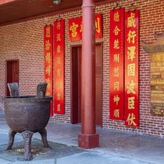
The region shows lasting connections to Maidu communities, whose presence shaped early settlement patterns and remains visible in local place names today. These roots continue to influence how people in the area understand their shared identity.

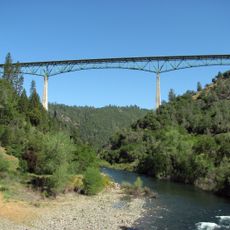
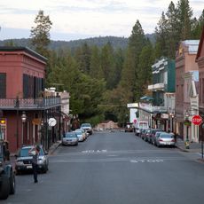
The region is well connected by State Route 20 and Route 70, which link the main communities. Local transit through Yuba Sutter Transit offers convenient travel between towns for those without personal transportation.

The county is known for extensive walnut orchards, rice fields, and cattle ranches that form the backbone of its farming landscape. These crops have become deeply embedded in the region's economy and character over generations.

The community of curious travelers

AroundUs brings together thousands of curated places, local tips, and hidden gems, enriched daily by 60,000 contributors worldwide.

Start exploring
Location
Inception
1850
Capital city
Marysville
Shares border with
Butte County, Plumas County, Sierra County, Nevada County, Placer County, Sutter County
GPS coordinates
39.27000,-121.35000
Latest update
December 14, 2025 20:48
Around this place
Oroville Dam
United States of America

Oroville Dam

32.1 km
Lake Oroville
United States of America

Lake Oroville

33.9 km
Foresthill Bridge
United States of America

Foresthill Bridge

47.1 km
Empire Mine State Historic Park
United States of America

Empire Mine State Historic Park

27.5 km
New Bullards Bar Reservoir
United States of America

New Bullards Bar Reservoir

22.7 km
New Bullards Bar Dam
United States of America

New Bullards Bar Dam

22.5 km
Lake Clementine
United States of America

Lake Clementine

46.7 km
South Yuba River State Park
United States of America

South Yuba River State Park

13.6 km
Bridgeport Covered Bridge
United States of America

Bridgeport Covered Bridge

13.6 km
Phantom Falls
United States of America

Phantom Falls

42 km
Bidwell Bar Bridge
United States of America

Bidwell Bar Bridge

31.9 km
North Table Mountain Ecological Reserve
United States of America

North Table Mountain Ecological Reserve

44.2 km
Bok Kai Temple
United States of America

Bok Kai Temple

25.4 km
Englebright Lake
United States of America

Englebright Lake

7.6 km
Home of Lola Montez
United States of America

Home of Lola Montez

25.4 km
Camp Far West Reservoir
United States of America

Camp Far West Reservoir

24.5 km
Lake Oroville State Recreation Area
United States of America

Lake Oroville State Recreation Area

33.9 km
Ellis Lake
United States of America

Ellis Lake

24.6 km
United States of America

Spenceville Wildlife Area

14.3 km
Oroville Chinese Temple
United States of America

Oroville Chinese Temple

32.6 km
North Star House
United States of America

North Star House

25.1 km
National Exchange Hotel
United States of America

National Exchange Hotel

28.7 km
Nevada City Downtown Historic District
United States of America

Nevada City Downtown Historic District

28.6 km
Englebright Dam
United States of America

Englebright Dam

7.7 km
Mount Saint Mary's Convent and Academy
United States of America

Mount Saint Mary's Convent and Academy

25.2 km
Nevada Brewery
United States of America

Nevada Brewery

28.9 km
Nevada Theatre
United States of America

Nevada Theatre

28.4 km
United States of America

Nevada County Narrow Gauge Railroad & Transportation Museum

28.7 km
Show the full map
Administrative divisions
« Yuba County - Administrative county in northern California, United States » is provided by Around Us (aroundus.com). Images and texts are derived from Wikimedia project under a Creative Commons license. You are allowed to copy, distribute, and modify copies of this page, under the conditions set by the license, as long as this note is clearly visible.

Discover hidden gems everywhere you go!

From secret cafés to breathtaking viewpoints, skip the crowded tourist spots and find places that match your style. Our app makes it easy with voice search, smart filtering, route optimization, and insider tips from travelers worldwide. Download now for the complete mobile experience.

Around Us App Screenshot

A unique approach to discovering new places

Le Figaro

All the places worth exploring

France Info

A tailor-made excursion in just a few clicks

20 Minutes

Around Us
Travel Guide & Maps
Download

Send to your phone

QR Code
1

Open the camera app on your mobile.

2

Point at the QR code with your camera. A notification will appear.

3

Tap the notification to open the link.