Chest opened
+${chestReward.xp} XP
Explorer
NOUVEAU ×${chestReward.collectible.quantity}
tapez pour fermer
Chest locked

Open chests in the app

Around Us is built for your phone — chests unlock when you walk, explore and capture nearby places.

Enable Location

We need your location to show you interesting places around you

Discover nearby places

Find interesting locations and hidden gems around you

Precise directions

Get accurate directions and distances to places

Your location is never shared with other users. It's only used when you tap the location button.

Chetco River

Log in to your account

Start exploring — it's free

Trusted by 72,878 travelers worldwide

Continue with Google
Continue with Apple
or

We will send you a code to connect

By continuing, you accept our Terms and Conditions and our Privacy Policy

Check your inbox

We've sent a pincode in your inbox. Please enter the code below.

Chetco River
Discussion Reviews 1 Photos
11k Popularity

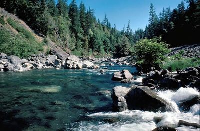
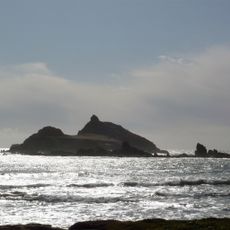
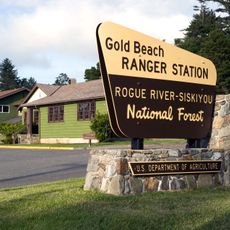
Chetco River, River system in southwestern Oregon, United States.

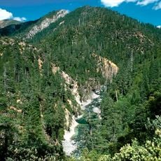
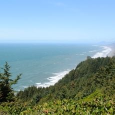
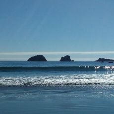
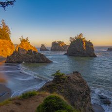
The Chetco River is a river system in southwestern Oregon that flows from mountain country through thick forests toward the ocean. The water moves through canyons and past steep banks covered with evergreen trees as it makes its way downhill.

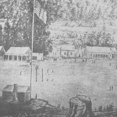
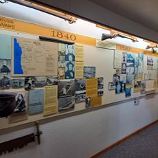
Indigenous peoples lived along the Chetco River for centuries before the region came into contact with European explorers. The valley remained a remote place with its own way of life for a long time before outside settlement.

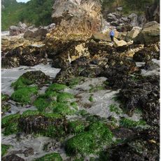
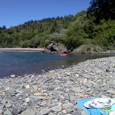
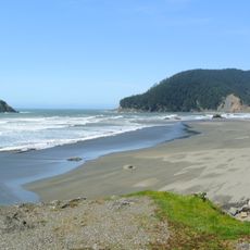
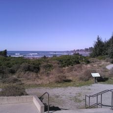
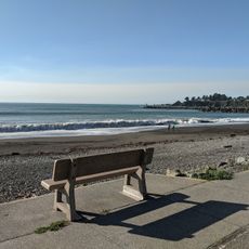
The river shapes daily life for those who live nearby and has long been central to how people in the region connect with the land. Walking along its banks reveals how communities have built their homes and traditions around this flowing water.

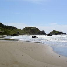
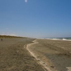
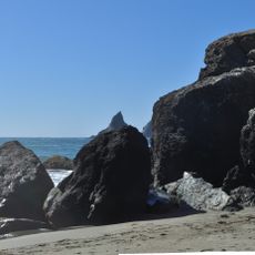
The best way to experience this place is on foot or by boat, depending on which part you want to visit. Visitors should come prepared for changing weather and strong water flow, especially during wetter times of year.

The river hosts a special fish that travels between salt water and fresh water, returning to spawn each year. This migration is a natural event that brings life to these waters seasonally.

The community of curious travelers

AroundUs brings together thousands of curated places, local tips, and hidden gems, enriched daily by 60,000 contributors worldwide.

Start exploring
Location
GPS coordinates
42.04530,-124.27100
Latest update
December 8, 2025 13:43
Around this place
Redwood National and State Parks
United States of America

Redwood National and State Parks

60.1 km
Jedediah Smith Redwoods State Park
United States of America

Jedediah Smith Redwoods State Park

32.5 km
St. George Reef Light
United States of America

St. George Reef Light

24.8 km
Lost Monarch
United States of America

Lost Monarch

32.3 km
Battery Point Light
United States of America

Battery Point Light

34 km
Harris Beach State Park
United States of America

Harris Beach State Park

3.8 km
Samuel H. Boardman State Scenic Corridor
United States of America

Samuel H. Boardman State Scenic Corridor

10.8 km
Kalmiopsis Wilderness
United States of America

Kalmiopsis Wilderness

36.6 km
Oregon Islands National Wildlife Refuge
United States of America

Oregon Islands National Wildlife Refuge

25.3 km
Castle Rock National Wildlife Refuge
United States of America

Castle Rock National Wildlife Refuge

31.6 km
Thomas Creek Bridge
United States of America

Thomas Creek Bridge

15.3 km
Tolowa Dunes State Park
United States of America

Tolowa Dunes State Park

20.7 km
Alfred A. Loeb State Park
United States of America

Alfred A. Loeb State Park

10.1 km
Cape Sebastian State Scenic Corridor
United States of America

Cape Sebastian State Scenic Corridor

34.5 km
Lone Ranch Beach
United States of America

Lone Ranch Beach

8.4 km
Pistol River State Scenic Viewpoint
United States of America

Pistol River State Scenic Viewpoint

27.8 km
Camp Lincoln
United States of America

Camp Lincoln

27.5 km
Gold Beach Ranger Station
United States of America

Gold Beach Ranger Station

41.5 km
Gasquet Ranger Station Historic District
United States of America

Gasquet Ranger Station Historic District

33.7 km
Crissey Field State Recreation Site

Crissey Field State Recreation Site

7 km
Pebble Beach
United States of America

Pebble Beach

31.4 km
Rogue River Museum & Gift shop
United States of America

Rogue River Museum & Gift shop

43.6 km
Secret Beach
United States of America

Secret Beach

18.6 km
Sporthaven Beach
United States of America

Sporthaven Beach

808 m
Meyers Creek Beach Viewpoint
United States of America

Meyers Creek Beach Viewpoint

32 km
Harris Sate Park Campground
United States of America

Harris Sate Park Campground

4 km
Whaleshead Beach
United States of America

Whaleshead Beach

12.2 km
Meyers Creek Pullout South
United States of America

Meyers Creek Pullout South

31.2 km
Show the full map
Reviews
Share your experience

No review yet

Discussions
Start a discussion...

No discussion yet

« Chetco River - River system in southwestern Oregon, United States » is provided by Around Us (aroundus.com). Images and texts are derived from Wikimedia project under a Creative Commons license. You are allowed to copy, distribute, and modify copies of this page, under the conditions set by the license, as long as this note is clearly visible.

Discover hidden gems everywhere you go!

From secret cafés to breathtaking viewpoints, skip the crowded tourist spots and find places that match your style. Our app makes it easy with voice search, smart filtering, route optimization, and insider tips from travelers worldwide. Download now for the complete mobile experience.

Around Us App Screenshot

A unique approach to discovering new places

Le Figaro

All the places worth exploring

France Info

A tailor-made excursion in just a few clicks

20 Minutes

Around Us
Travel Guide & Maps
Download

Send to your phone

QR Code
1

Open the camera app on your mobile.

2

Point at the QR code with your camera. A notification will appear.

3

Tap the notification to open the link.