McVay Rock State Recreation Site, Coastal recreation site in Brookings, Oregon, United States.
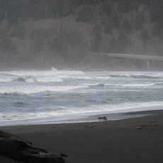
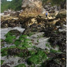
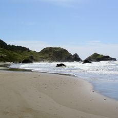
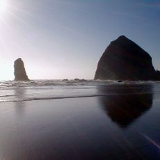
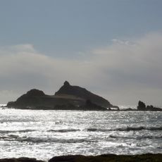
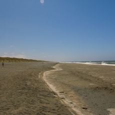
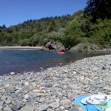
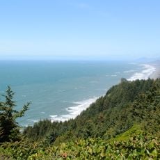
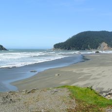
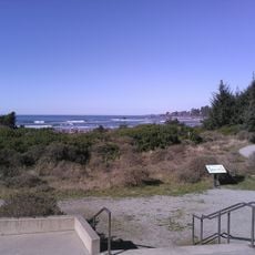
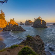
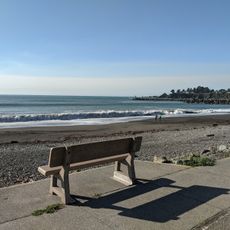
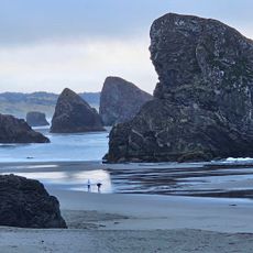
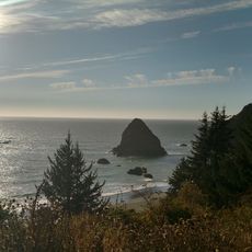
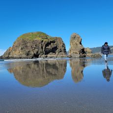
McVay Rock State Recreation Site is a recreational area along the Pacific coast near Brookings with steep rocky cliffs and direct access to beaches via narrow pathways. The grounds feature areas for fishing and shellfish gathering plus a nine-hole disc golf course with ocean views.
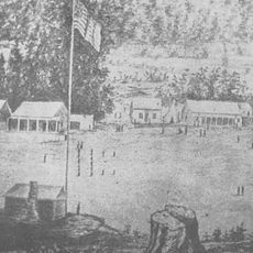
The name comes from William R. McVay, who settled in this region in 1861 and influenced how the area developed. Oregon acquired the land in the 1970s and made it a protected recreational site for the public.
The site draws people who want to combine nature and recreation while access is carefully designed to protect the coastal ecosystem. The use by fishers and gatherers reflects a long tradition of sustainably using ocean resources.
The site is easy to reach on foot but has some steep pathways down to the shore that require care. It is best visited during calm weather since conditions at the exposed coast can change quickly.
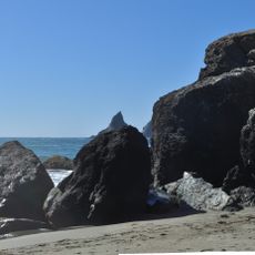
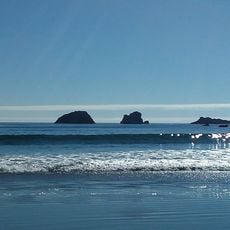
The rock formation that gave the site its name no longer exists because it was quarried for building material before the land was protected. This history shows how attitudes toward coastal preservation in Oregon have changed over time.
Location: Oregon
Website: https://stateparks.oregon.gov/index.cfm?do=park.profile&parkId=54
GPS coordinates: 42.01900,-124.23300
Latest update: December 14, 2025 11:23
Redwood National and State Parks
56.4 km
Jedediah Smith Redwoods State Park
28.6 km
Del Norte Coast Redwoods State Park
40.7 km
St. George Reef Light
23.5 km
Lost Monarch
28.3 km
Battery Point Light
30.7 km
Harris Beach State Park
8.1 km
Samuel H. Boardman State Scenic Corridor
15.1 km
Kalmiopsis Wilderness
36.8 km
Smith River National Recreation Area
42.9 km
Oregon Islands National Wildlife Refuge
29.4 km
Castle Rock National Wildlife Refuge
28.7 km
Thomas Creek Bridge
19.4 km
Tolowa Dunes State Park
17.2 km
Alfred A. Loeb State Park
11.1 km
Cape Sebastian State Scenic Corridor
38.4 km
Lone Ranch Beach
12.7 km
Pistol River State Scenic Viewpoint
31.8 km
Camp Lincoln
23.6 km
Gasquet Ranger Station Historic District
29.4 km
Crissey Field State Recreation Site
2.7 km
Pebble Beach
28.3 km
Secret Beach
22.7 km
Sporthaven Beach
3.5 km
Meyers Creek Beach Viewpoint
35.9 km
Harris Sate Park Campground
8.3 km
Whaleshead Beach
16.4 km
Meyers Creek Pullout South
35.1 kmVisited this place? Tap the stars to rate it and share your experience / photos with the community! Try now! You can cancel it anytime.
Discover hidden gems everywhere you go!
From secret cafés to breathtaking viewpoints, skip the crowded tourist spots and find places that match your style. Our app makes it easy with voice search, smart filtering, route optimization, and insider tips from travelers worldwide. Download now for the complete mobile experience.
A unique approach to discovering new places❞
— Le Figaro
All the places worth exploring❞
— France Info
A tailor-made excursion in just a few clicks❞
— 20 Minutes