
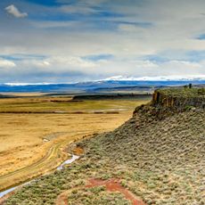
Backside Reservoir, Reservoir in Oregon, USA
Location: Malheur County
Elevation above the sea: 1,651 m
GPS coordinates: 42.31532,-117.91328
Latest update: September 7, 2025 00:40
Malheur National Wildlife Refuge
130.3 km
Harney Basin
123.3 km
Owyhee Reservoir
135.9 km
Sheldon National Wildlife Refuge
125.4 km
Steens Mountain Wilderness
79.1 km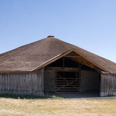
Pete French Round Barn
108.8 km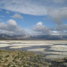
Northern Basin and Range ecoregion
106.8 km
Black Rock Desert Wilderness
140.9 km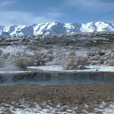
Mickey Hot Springs
53.7 km
Owyhee River Wilderness
112.7 km
Fort McDermit
45.1 km
David L. Shirk Ranch
132.6 km
De Lamar, Idaho
118.6 km
Sod House Ranch
130.7 km
Frenchglen Hotel State Heritage Site
100 km
P Ranch
98.1 km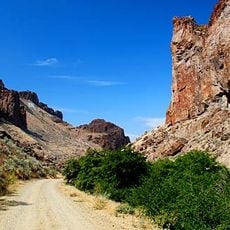
Succor Creek State Natural Area
143 km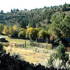
Riddle Ranch
100.6 km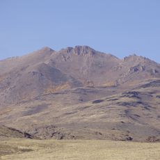
Granite Peak
76.9 km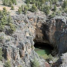
Pole Creek Wilderness
118.1 km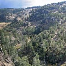
North Fork Owyhee Wilderness
102.8 km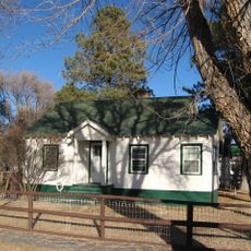
Paradise Valley Ranger Station
97.2 km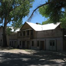
Micca House
96.9 km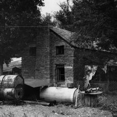
Sheep Ranch Fortified House
73.7 km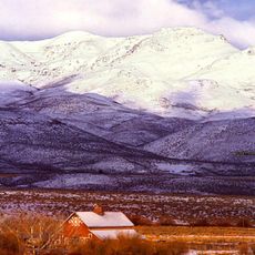
Noble Horse Barn
138.1 km
Silver City Historic District
124.2 km
Owyhee Canyon
101.6 km
BLM Field Camp
112.7 kmReviews
Visited this place? Tap the stars to rate it and share your experience / photos with the community! Try now! You can cancel it anytime.
Discover hidden gems everywhere you go!
From secret cafés to breathtaking viewpoints, skip the crowded tourist spots and find places that match your style. Our app makes it easy with voice search, smart filtering, route optimization, and insider tips from travelers worldwide. Download now for the complete mobile experience.

A unique approach to discovering new places❞
— Le Figaro
All the places worth exploring❞
— France Info
A tailor-made excursion in just a few clicks❞
— 20 Minutes