Chest opened
+${chestReward.xp} XP
Explorer
NOUVEAU ×${chestReward.collectible.quantity}
tapez pour fermer

See the monuments around you in AR Open chests in the app

Around Us is built for your phone — point your camera at the streets and discover the monuments and places around you in augmented reality. Around Us is built for your phone — chests unlock when you walk, explore and capture nearby places.

Enable Location

We need your location to show you interesting places around you

Discover nearby places

Find interesting locations and hidden gems around you

Precise directions

Get accurate directions and distances to places

Your location is never shared with other users. It's only used when you tap the location button.

Log in to your account

Start exploring — it's free

Trusted by 87,266 travelers worldwide

Continue with Google
Continue with Apple
or

We will send you a code to connect

By continuing, you accept our Terms and Conditions and our Privacy Policy

Check your inbox

We've sent a pincode in your inbox. Please enter the code below.

Summit Lake Paiute Tribe of Nevada
Discussion Reviews Photo
3.2k Popularity

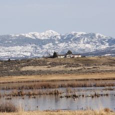
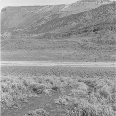
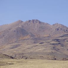
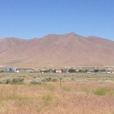
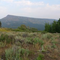
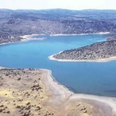
Summit Lake Paiute Tribe of Nevada, Indigenous reservation in northwestern Nevada, United States.

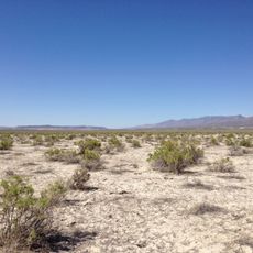
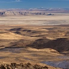
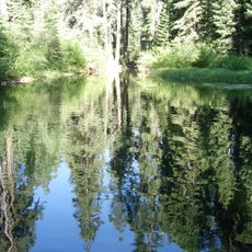
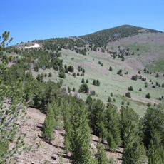
Summit Lake Paiute Tribal Land is an indigenous reservation in northwestern Nevada covering approximately 12,600 acres and centered around Summit Lake. The lake's surface changes noticeably with the seasons, expanding and contracting based on water levels throughout the year.

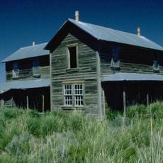
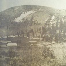
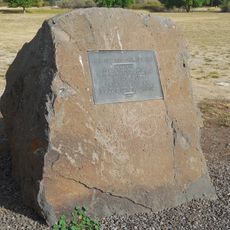
The reservation was officially established in 1913 when the federal government set aside this land for the tribe. Before that, the area had functioned as Camp McGarry, a military post that operated from 1867 until its transfer to civilian administration in 1871.

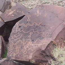
The Northern Paiute people who live here are called Agai Panina Ticutta, which refers to their historical connection to fishing and gathering in the area. Visitors can learn about traditional practices like basket weaving that remain part of community life today.

Visitors should prepare for the remote location by planning ahead and bringing necessary supplies before arrival. The tribal administration office is located in Sparks, Nevada, and operates on weekdays, making it a good reference point for inquiries.

This reservation holds the distinction of being Nevada's most remote Native American settlement, positioned far from major population centers. The isolation has helped preserve traditional ways of life that might have disappeared elsewhere.

The community of curious travelers

AroundUs brings together thousands of curated places, local tips, and hidden gems, enriched daily by 60,000 contributors worldwide.
Start exploring
Location
GPS coordinates
41.52420,-119.05200
Latest update
September 12, 2026 02:48
Around this place
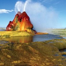
Fly Geyser
United States of America

Fly Geyser

48.2 mi
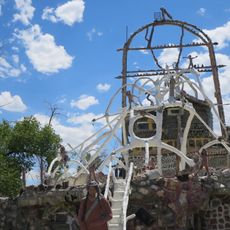
Thunder Mountain Monument
United States of America

Thunder Mountain Monument

76.6 mi
Sheldon National Wildlife Refuge
United States of America

Sheldon National Wildlife Refuge

21.8 mi
Black Rock Desert – High Rock Canyon Emigrant Trails National Conservation Area
United States of America

Black Rock Desert – High Rock Canyon Emigrant Trails National Conservation Area

42.4 mi
South Warner Wilderness
United States of America

South Warner Wilderness

60.3 mi
Modoc National Wildlife Refuge
United States of America

Modoc National Wildlife Refuge

76.2 mi
United States of America

Black Rock Desert Wilderness

26.2 mi
David L. Shirk Ranch
United States of America

David L. Shirk Ranch

55 mi
Greaser Petroglyph Site
United States of America

Greaser Petroglyph Site

59.9 mi
Eagle Peak
United States of America

Eagle Peak

61.9 mi
Camp Warner
United States of America

Camp Warner

71.7 mi
Goose Lake State Recreation Area
United States of America

Goose Lake State Recreation Area

73.2 mi
United States of America

Little High Rock Canyon Wilderness

25.5 mi
United States of America

High Rock Lake Wilderness

19.5 mi
High Rock Canyon Wilderness
United States of America

High Rock Canyon Wilderness

23 mi
United States of America

North Black Rock Range Wilderness

6 mi
United States of America

Calico Mountains Wilderness

38.1 mi
Stone Bridge and the Oregon Central Military Wagon Road
United States of America

Stone Bridge and the Oregon Central Military Wagon Road

70.3 mi
United States of America

East Fork High Rock Canyon Wilderness

17.6 mi
Granite Peak
United States of America

Granite Peak

76.3 mi
United States of America

South Jackson Mountains Wilderness

34.4 mi
Winnemucca Mountain
United States of America

Winnemucca Mountain

75.6 mi
United States of America

North Jackson Mountains Wilderness

32.1 mi
United States of America

Pahute Peak Wilderness

20.8 mi
Dodge Reservoir
United States of America

Dodge Reservoir

68.3 mi
Hat Mountain
United States of America

Hat Mountain

61.5 mi
United States of America

Deep Creek Falls

64.5 mi
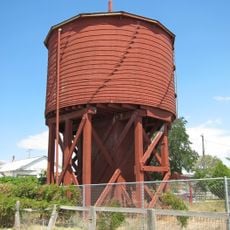
Gerlach Water Tower
United States of America

Gerlach Water Tower

62.4 mi
Show the full map
Reviews
Share your experience

No review yet

Discussions
Start a discussion...

No discussion yet

« Summit Lake Paiute Tribe of Nevada - Indigenous reservation in northwestern Nevada, United States » is provided by Around Us (aroundus.com). Images and texts are derived from Wikimedia project under a Creative Commons license. You are allowed to copy, distribute, and modify copies of this page, under the conditions set by the license, as long as this note is clearly visible.

Discover hidden gems everywhere you go!

From secret cafés to breathtaking viewpoints, skip the crowded tourist spots and find places that match your style. Our app makes it easy with voice search, smart filtering, route optimization, and insider tips from travelers worldwide. Download now for the complete mobile experience.

Around Us App Screenshot

A unique approach to discovering new places

Le Figaro

All the places worth exploring

France Info

A tailor-made excursion in just a few clicks

20 Minutes

Around Us
Travel Guide & Maps
Download

Send to your phone

QR Code
1

Open the camera app on your mobile.

2

Point at the QR code with your camera. A notification will appear.

3

Tap the notification to open the link.