
Winchester Wasteway, canal and reservoir in Grant County, Washington state, United States of America
Location: Washington
Location: Grant County
Elevation above the sea: 350 m
GPS coordinates: 47.11972,-119.62722
Latest update: June 8, 2025 12:14
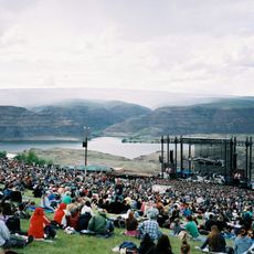
The Gorge Amphitheatre
27.9 km
B Reactor
54.5 km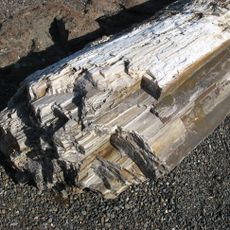
Ginkgo Petrified Forest State Park
34.3 km
Moses Lake
21.7 km
Iron Horse State Park
49.2 km
Grandfather Cuts Loose the Ponies
30.6 km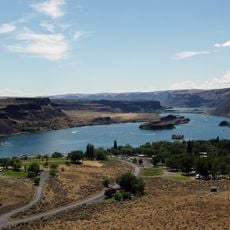
Sun Lakes-Dry Falls State Park
56.7 km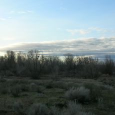
Potholes State Park
21.6 km
Wanapum Dam
37.7 km
Potholes Reservoir
29.7 km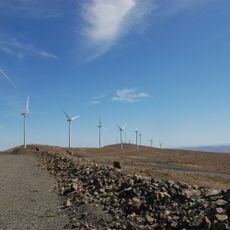
Wild Horse Wind and Solar Facility
46 km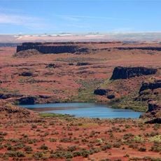
Drumheller Channels National Natural Landmark
36.5 km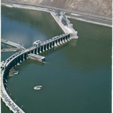
Rock Island Dam
43.2 km
Whiskey Dick Mountain
47 km
Abraham Lincoln
53.9 km
Vantage Bridge
32.4 km
Columbia National Wildlife Refuge
30.7 km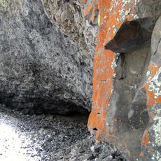
Lake Lenore Caves State Park
39.5 km
Beverly Railroad Bridge
40.3 km
Priest Rapids
48.4 km
Vernita Bridge
53.7 km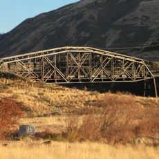
Rock Island Railroad Bridge
48.3 km
Wanapum Lake
37.9 km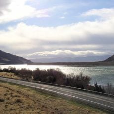
Sentinel Gap
42 km
Surf 'n Slide Water Park
26.3 km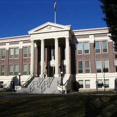
Grant County Courthouse
23.2 km
Grant County Fairgrounds
24.4 km
Moses Lake Museum & Art Center
26.8 kmReviews
Visited this place? Tap the stars to rate it and share your experience / photos with the community! Try now! You can cancel it anytime.
Discover hidden gems everywhere you go!
From secret cafés to breathtaking viewpoints, skip the crowded tourist spots and find places that match your style. Our app makes it easy with voice search, smart filtering, route optimization, and insider tips from travelers worldwide. Download now for the complete mobile experience.

A unique approach to discovering new places❞
— Le Figaro
All the places worth exploring❞
— France Info
A tailor-made excursion in just a few clicks❞
— 20 Minutes