
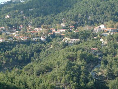
Platres, community in Limassol District, Republic of Cyprus
Location: Limassol District
Elevation above the sea: 1,100 m
Website: http://www.platres.org.cy
Part of: Limassol District
Shares border with: Amiantos, Moniatis, Pera Pedi, Mandria, Limassol, Kato Platres, Foini, Kakopetria, Troodos
Website: http://platres.org.cy
GPS coordinates: 34.88889,32.86500
Latest update: April 29, 2025 12:57

Haleakalā
13772.7 km
Brasstown Bald
9859.7 km
Hana Highway
13753.4 km
Jaws
13748.3 km
United States Space Surveillance Network
13773.6 km
Wigwam Motel
11369.6 km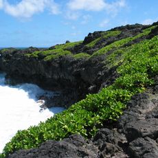
Haleakalā National Park
13774 km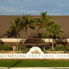
Polynesian Cultural Center
13642.3 km
Willow Springs International Motorsports Park
11711.1 km
Oak Creek Canyon
11439.1 km
Pan-STARRS
13773.8 km
Laie Hawaii Temple
13641.2 km
Iao Valley
13750 km
Slide Rock State Park
11439 km
Sentry Tournament of Champions
13734.6 km
Caprock Escarpment
11070 km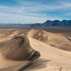
Kelso Dunes
11610.8 km
Polynesian Cultural Center
13642.2 km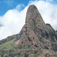
West Maui Mountains
13747.8 km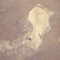
Rogers Dry Lake
11689.9 km
Paris Mountain State Park
9759.3 km
Black Rock Mountain State Park
9830.2 km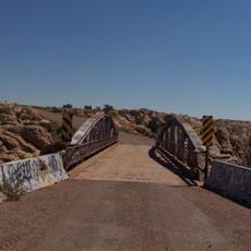
Chevelon Creek Bridge
11384.1 km
Haleakalā Observatory
13773.5 km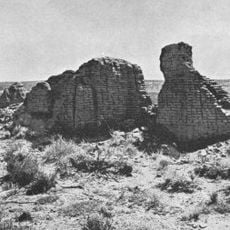
Hawikuh Ruins
11311.4 km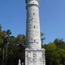
Wilder Brigade Monument
9954.3 km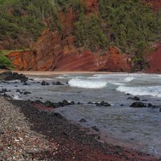
Red Sand Beach
13773.2 km
Air Force Maui Optical and Supercomputing observatory
13762.5 kmReviews
Visited this place? Tap the stars to rate it and share your experience / photos with the community! Try now! You can cancel it anytime.
Discover hidden gems everywhere you go!
From secret cafés to breathtaking viewpoints, skip the crowded tourist spots and find places that match your style. Our app makes it easy with voice search, smart filtering, route optimization, and insider tips from travelers worldwide. Download now for the complete mobile experience.

A unique approach to discovering new places❞
— Le Figaro
All the places worth exploring❞
— France Info
A tailor-made excursion in just a few clicks❞
— 20 Minutes