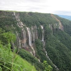
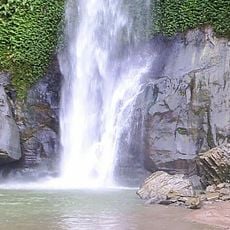
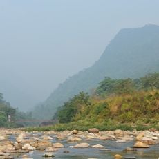
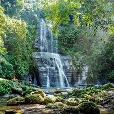
Hakaluki Haor, Freshwater marsh in Sylhet Division, Bangladesh
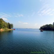
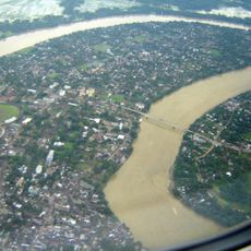
Hakaluki Haor is a freshwater marsh in north-eastern Bangladesh, covering 181.15 km², of which 72.46 km² lies in Barlekha Upazila. It is bounded by the Kushiara river in the north, the Fenchuganj-Kulaura railway to the west, and the Kulaura-Beanibazar road to the east. The marsh contains 238 beels and 10 rivers, and in the rainy season it expands to about 18,000 hectares.
Hakaluki Haor is a freshwater marsh, not an estuary, lying between 24°35'N and 24°44'N and 92°00'E and 92°08'E, bounded in part by the Kushiara river to the north. It is designated an Ecologically Critical Area and a Ramsar site, with 181.15 km² of surface area, of which 72.46 km² (40.01%) lies in Barlekha Upazila. About 190,000 people live around the haor, and 558 animal and bird species have been recorded there.
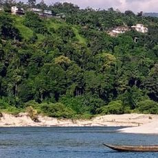
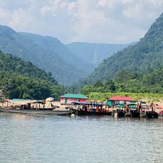
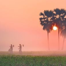
Local communities have shaped their way of life around fishing and rice farming, working with the seasonal flooding rather than against it. You can observe fishermen in small boats and see how settlements are arranged to adapt to the changing water levels.
The dry season is the best time to visit, when water levels are lower and the terrain is more accessible for exploration. Hiring a local boat or guide will help you navigate the different areas and spot wildlife effectively.
The haor's name is explained in local lore as coming from the Kuki and Naga peoples, in whose language it meant 'hidden wealth'. Another tradition says it derives from Hangar Singh, a Kuki chief of Barlekha who hid from the army of the Tripura maharaja Omar Manikya in the muddy jungle, giving 'Hangar Luki', later Hakaluki.
The community of curious travelers
AroundUs brings together thousands of curated places, local tips, and hidden gems, enriched daily by 93,860 contributors worldwide.