
Tahirpur Upazila, place in Sylhet Division
Location: Sunamganj District
Elevation above the sea: 20 m
Website: http://tahirpur.sunamganj.gov.bd
Website: http://tahirpur.sunamganj.gov.bd
GPS coordinates: 25.09170,91.17500
Latest update: May 12, 2025 23:25
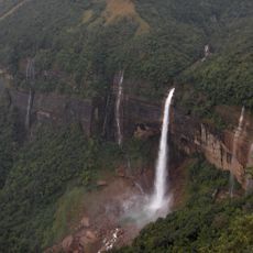
Nohkalikai Falls
55.5 km
Balpakram National Park
62.4 km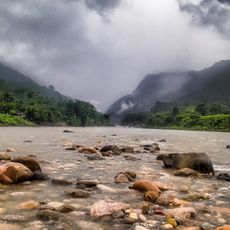
Jaflong
85.3 km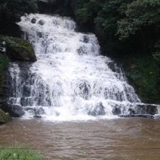
Elephant Falls
81.8 km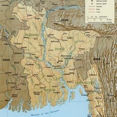
Surma-Meghna River System
73.1 km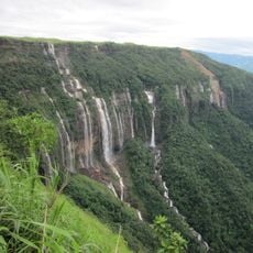
Nohsngithiang Falls
59.4 km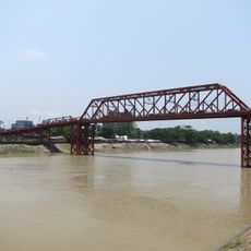
Keane bridge
73.5 km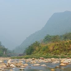
Bichnakandi
72.3 km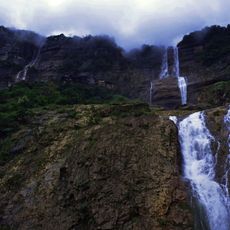
Kynrem Falls
56.6 km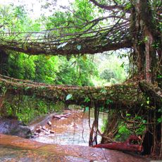
Umshiang Double-Decker Root Bridge
53.1 km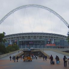
Sylhet District Stadium
72.7 km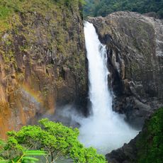
Langshiang Falls
39.7 km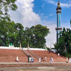
Shahi Eidgah
74.2 km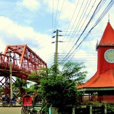
Ali Amjad's Clock
73.5 km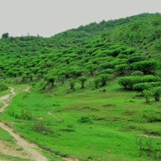
Khadim Nagar National Park
73.5 km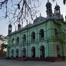
Pagla Jame Masjid
33.3 km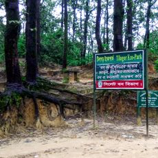
Tilagor Eco Park
76.3 km
Museum of Rajas'
73 km
Osmany Museum
74.2 km
Shohidi Masjid
83.1 km
Madani Chattar
73.8 km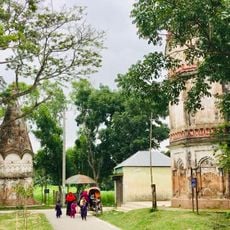
Temple of Chandrabati
76.4 km
Shaheed Minar, Sylhet
73.2 km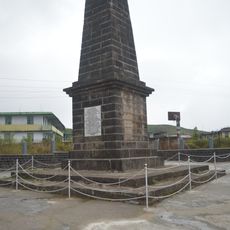
Memorial of David Scott
59.8 km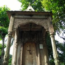
Stone Siva Temple
81.6 km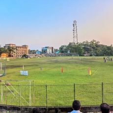
Sunamganj Stadium
23 km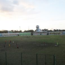
Netrakona Stadium
51 km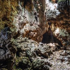
Mawsmai Cave
58 kmReviews
Visited this place? Tap the stars to rate it and share your experience / photos with the community! Try now! You can cancel it anytime.
Discover hidden gems everywhere you go!
From secret cafés to breathtaking viewpoints, skip the crowded tourist spots and find places that match your style. Our app makes it easy with voice search, smart filtering, route optimization, and insider tips from travelers worldwide. Download now for the complete mobile experience.

A unique approach to discovering new places❞
— Le Figaro
All the places worth exploring❞
— France Info
A tailor-made excursion in just a few clicks❞
— 20 Minutes