
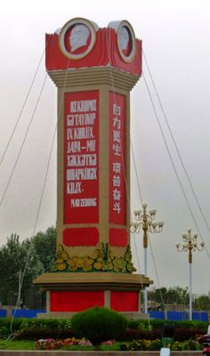
Niya Town, town in Xinjiang, China
Location: Niya County
Elevation above the sea: 1,405 m
GPS coordinates: 37.06760,82.69578
Latest update: April 27, 2025 17:27
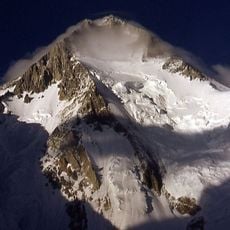
Gasherbrum
557.7 km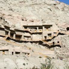
Kizil Caves
525.3 km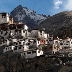
Diskit Monastery
542.1 km
Saltoro Kangri
556.9 km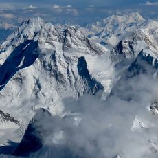
K12
546.5 km
Niya
103.8 km
Liushi Shan
252.2 km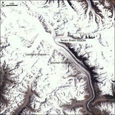
Apsarasas Kangri
525.7 km
Mamostong Kangri
507.7 km
Teram Kangri
530.2 km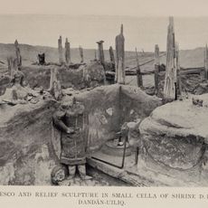
Dandan Oilik
163.6 km
Ghent Kangri
556.3 km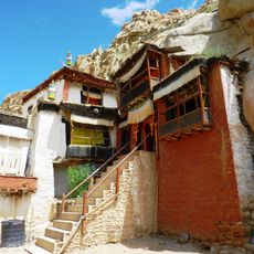
Takthok Monastery
557.8 km
Subashi
533.8 km
Kizilgaha caves
526.2 km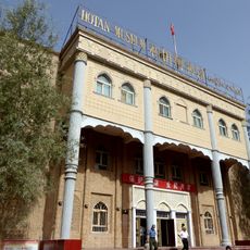
Hotan Cultural Museum
247.7 km
Rawak Stupa
226.6 km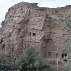
Kumtura Thousand Buddha Caves
517 km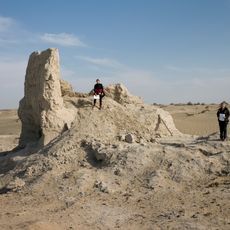
Endere
114.3 km
Xiaohaizi Shuiku
452.3 km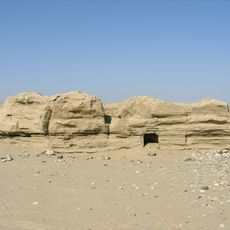
Melikawat
248.5 km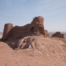
Mazar Tagh
223 km
Kangju Kangri
530.5 km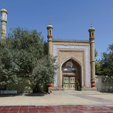
Altyn Mosque
501.9 km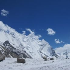
Vigne Glacier
557 km
Tsogtsalu
474.1 km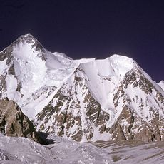
Urdok Kangri
555.7 km
Saser Kangri II
507.6 kmReviews
Visited this place? Tap the stars to rate it and share your experience / photos with the community! Try now! You can cancel it anytime.
Discover hidden gems everywhere you go!
From secret cafés to breathtaking viewpoints, skip the crowded tourist spots and find places that match your style. Our app makes it easy with voice search, smart filtering, route optimization, and insider tips from travelers worldwide. Download now for the complete mobile experience.

A unique approach to discovering new places❞
— Le Figaro
All the places worth exploring❞
— France Info
A tailor-made excursion in just a few clicks❞
— 20 Minutes