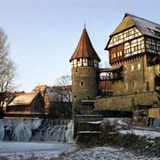
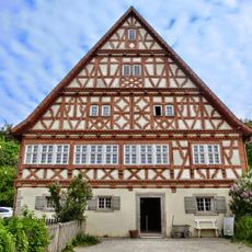
Upper Danube Nature Park, Nature park and national geotope in Baden-Württemberg, Germany.
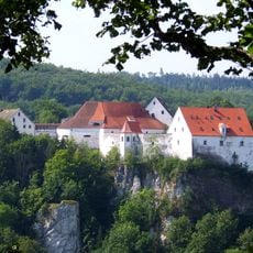
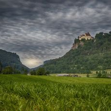
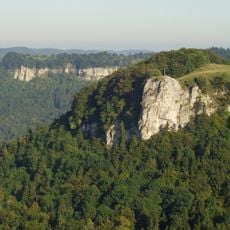
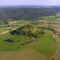
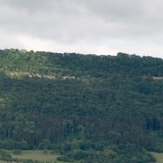
Upper Danube Nature Park covers roughly 1500 square kilometers, featuring limestone cliffs, mixed forests, and the Alb plateau stretching alongside the river. The protected area displays rolling hills, deep valleys, and continuous woodland across its landscape.
The park was founded on 5 December 1980 and initially covered 860 square kilometres. In 2005 it grew by almost 500 square kilometres in the Lauchert valley, the northern part of Sigmaringen district, and a second expansion followed in 2018 in the south-west. Its administration sits in the old railway station of Beuron, the Haus der Natur.
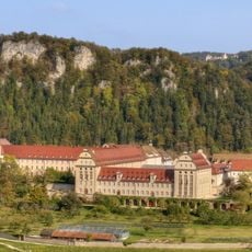
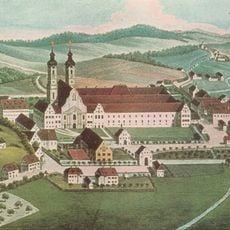
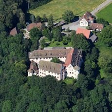
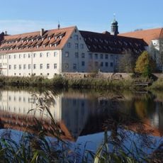
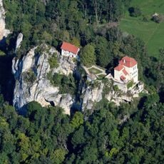
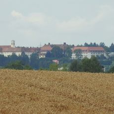
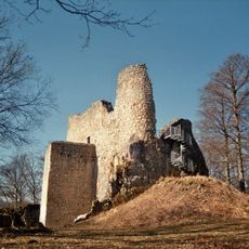
Beuron grew out of the Erzabtei Beuron, a Benedictine archabbey in the middle of the park that still houses the nature park association's headquarters in the old railway station, the "Haus der Natur". Along the Danube between Beuron and Fridingen stand the Stiegelesfels massif and the Knopfmacherfelsen, and about 89 castle remains document fortification building in the valley from around 1000 AD.
A network of marked paths connects multiple entry points throughout the park, allowing visitors to explore at their own pace. The nature reserve office in Beuron provides maps and guidance for those planning their visits.
Near Immendingen and south of Fridingen the Danube sinks into the Jurassic limestone and its bed runs dry; this seepage, the Donauversickerungen, is a known geological sight. The Danube cycle track from Donaueschingen to Vienna and the Danube valley railway from Donaueschingen to Ulm both follow this stretch of the river.
The community of curious travelers
AroundUs brings together thousands of curated places, local tips, and hidden gems, enriched daily by 95,122 contributors worldwide.