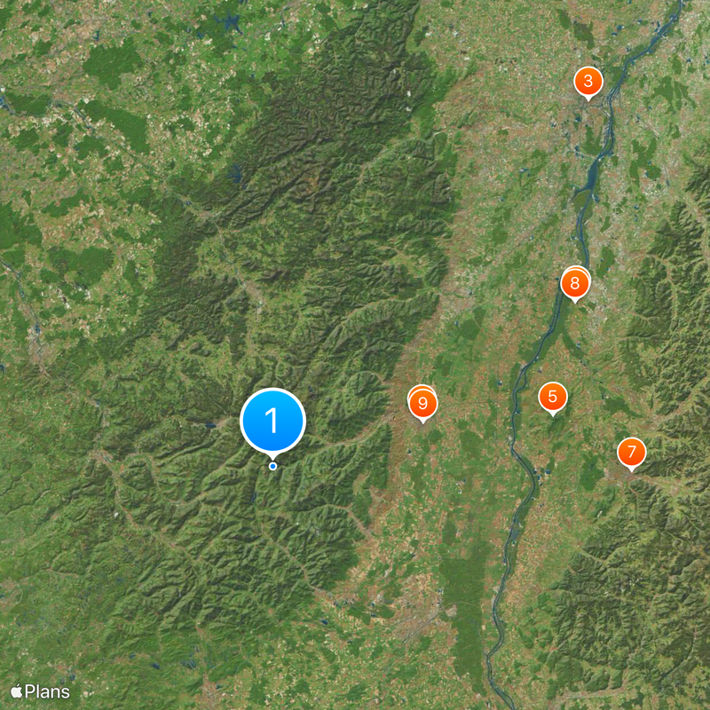
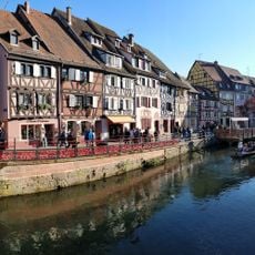
Vosges Mountains, Mountain range in Grand Est region, France
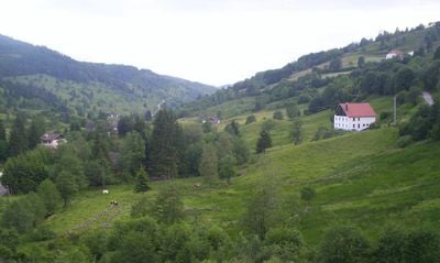
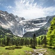
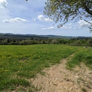
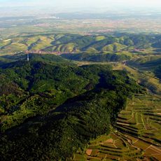
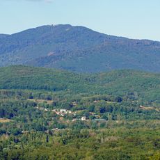
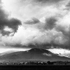
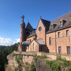
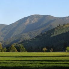
The Vosges Mountains are a mountain range in eastern France running through areas such as Alsace and Lorraine, forming part of the Grand Est region. They consist of forested hills in the north and higher summits in the south, separated by deep valleys and open meadows.
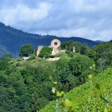
The range formed a natural boundary between different European powers for centuries and changed ownership between France and German-speaking territories several times. The ridges were used militarily over many centuries and are now peaceful natural areas.
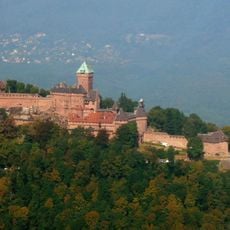
The mountains contain numerous medieval castle ruins that reflect the historical importance of this region as a strategic European crossroads.
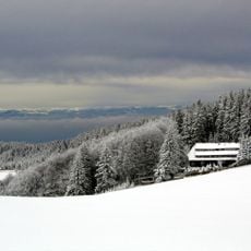
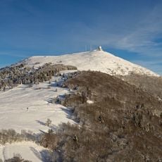
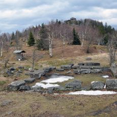
Numerous marked trails for walking and cycling run through the range, connecting small villages with higher viewpoints. Some areas offer skiing and snowshoeing in winter, while summer is well suited for longer routes through forests and across open ridges.
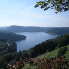
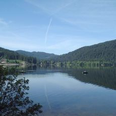
The range holds two regional nature parks where lakes formed by ancient glaciers can be found. These bodies of water attract swimmers in summer and sometimes freeze completely in winter.
The community of curious travelers
AroundUs brings together thousands of curated places, local tips, and hidden gems, enriched daily by 60,000 contributors worldwide.